5224 Baker Rd Needville, TX 77461
Estimated Value: $392,000 - $934,400
2
Beds
2
Baths
2,478
Sq Ft
$288/Sq Ft
Est. Value
About This Home
This home is located at 5224 Baker Rd, Needville, TX 77461 and is currently estimated at $714,850, approximately $288 per square foot. 5224 Baker Rd is a home with nearby schools including Needville Elementary School, Needville Junior High School, and Needville Middle School.
Ownership History
Date
Name
Owned For
Owner Type
Purchase Details
Closed on
Oct 8, 1998
Sold by
Savage Violet Yuvonne Von
Bought by
Davis Roy Ennis and Davis Elizabeth
Current Estimated Value
Home Financials for this Owner
Home Financials are based on the most recent Mortgage that was taken out on this home.
Original Mortgage
$47,500
Interest Rate
10%
Mortgage Type
Seller Take Back
Create a Home Valuation Report for This Property
The Home Valuation Report is an in-depth analysis detailing your home's value as well as a comparison with similar homes in the area
Home Values in the Area
Average Home Value in this Area
Purchase History
| Date | Buyer | Sale Price | Title Company |
|---|---|---|---|
| Davis Roy Ennis | -- | -- |
Source: Public Records
Mortgage History
| Date | Status | Borrower | Loan Amount |
|---|---|---|---|
| Closed | Davis Roy Ennis | $47,500 |
Source: Public Records
Tax History Compared to Growth
Tax History
| Year | Tax Paid | Tax Assessment Tax Assessment Total Assessment is a certain percentage of the fair market value that is determined by local assessors to be the total taxable value of land and additions on the property. | Land | Improvement |
|---|---|---|---|---|
| 2025 | $2,976 | $797,642 | $527,500 | $326,998 |
| 2024 | $2,976 | $725,129 | $419,547 | $305,582 |
| 2023 | $2,705 | $659,208 | $290,041 | $369,167 |
| 2022 | $5,029 | $599,280 | $209,200 | $390,080 |
| 2021 | $10,328 | $544,800 | $210,000 | $334,800 |
| 2020 | $11,491 | $568,460 | $210,000 | $358,460 |
| 2019 | $11,848 | $551,860 | $210,000 | $341,860 |
| 2018 | $12,365 | $576,580 | $185,000 | $391,580 |
| 2017 | $11,379 | $529,010 | $150,000 | $379,010 |
| 2016 | $10,345 | $480,920 | $115,000 | $365,920 |
| 2015 | $4,502 | $471,810 | $104,670 | $367,140 |
| 2014 | $4,442 | $428,920 | $104,670 | $324,250 |
Source: Public Records
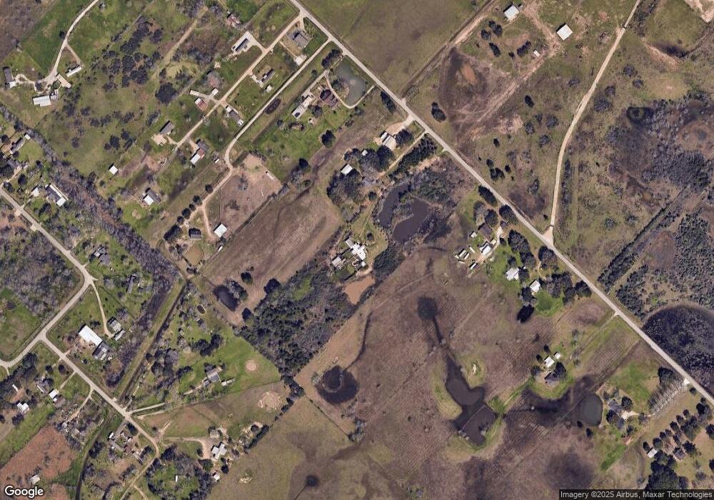
Map
Nearby Homes
- 4622 Hill Side Ln
- 7802 Brinkmeyer Rd
- 9218 E Creek Bend Dr
- 4021 Baker Rd
- 9211 E Creek Bend Dr
- 7937 Welch Rd
- 0 Foerster School Rd
- 0 Fm 360 Rd
- 412 Fm 360 Rd
- 0 Williams School Unit 10843392
- 10708 Creek Bend Dr
- 6423 Philip Evan Rd
- 3415 Fm 360 Rd
- 6603 Allens Landing
- 6606 Allens Landing
- 6706 Allens Landing
- 6714 Allens Landing
- 6715 Allens Landing
- 6802 Allens Landing
- 7010 Nichols Landing