Estimated Value: $514,000 - $893,000
3
Beds
1
Bath
1,220
Sq Ft
$521/Sq Ft
Est. Value
About This Home
This home is located at 5225 Killkare Loop Unit 21, Kamas, UT 84036 and is currently estimated at $636,157, approximately $521 per square foot. 5225 Killkare Loop Unit 21 is a home located in Summit County with nearby schools including South Summit Elementary School and South Summit High School.
Ownership History
Date
Name
Owned For
Owner Type
Purchase Details
Closed on
Mar 16, 2015
Sold by
Ferris Daniel K and Ferris Christine T
Bought by
Mcdill Melinda S
Current Estimated Value
Purchase Details
Closed on
Jun 21, 2012
Sold by
Foster Brett
Bought by
Ferris Daniel K and Ferris Christine T
Home Financials for this Owner
Home Financials are based on the most recent Mortgage that was taken out on this home.
Original Mortgage
$132,000
Interest Rate
3.74%
Mortgage Type
New Conventional
Purchase Details
Closed on
Feb 16, 2012
Sold by
Terkelson Lisa Dene
Bought by
Foster Brett
Purchase Details
Closed on
Feb 14, 2012
Sold by
Terkelson Lisa Dene
Bought by
Foster Brett
Purchase Details
Closed on
Feb 13, 2012
Sold by
Powell Tina Marie
Bought by
Foster Brett
Purchase Details
Closed on
Feb 9, 2012
Sold by
Terkelson Lisa Dene
Bought by
Foster Brett
Create a Home Valuation Report for This Property
The Home Valuation Report is an in-depth analysis detailing your home's value as well as a comparison with similar homes in the area
Purchase History
| Date | Buyer | Sale Price | Title Company |
|---|---|---|---|
| Mcdill Melinda S | -- | Founders Title Co | |
| Ferris Daniel K | -- | None Available | |
| Foster Brett | -- | None Available | |
| Terkeson Lisa Dene | -- | None Available | |
| Foster Brett | -- | None Available | |
| Foster Brett | -- | Cottonwood Title | |
| Foster Brett | -- | None Available | |
| Terkeson Lisa Dene | -- | None Available |
Source: Public Records
Mortgage History
| Date | Status | Borrower | Loan Amount |
|---|---|---|---|
| Previous Owner | Ferris Daniel K | $132,000 |
Source: Public Records
Tax History
| Year | Tax Paid | Tax Assessment Tax Assessment Total Assessment is a certain percentage of the fair market value that is determined by local assessors to be the total taxable value of land and additions on the property. | Land | Improvement |
|---|---|---|---|---|
| 2025 | $2,596 | $465,370 | $300,000 | $165,370 |
| 2024 | $1,058 | $195,250 | $50,000 | $145,250 |
| 2023 | $1,058 | $195,250 | $50,000 | $145,250 |
| 2022 | $860 | $138,569 | $32,000 | $106,569 |
| 2021 | $1,058 | $138,569 | $32,000 | $106,569 |
| 2020 | $968 | $118,700 | $32,000 | $86,700 |
| 2019 | $968 | $107,863 | $32,000 | $75,863 |
| 2018 | $673 | $78,300 | $20,500 | $57,800 |
| 2017 | $640 | $78,300 | $20,500 | $57,800 |
| 2016 | $679 | $78,300 | $20,500 | $57,800 |
| 2015 | $693 | $78,300 | $0 | $0 |
| 2013 | $646 | $67,463 | $0 | $0 |
Source: Public Records
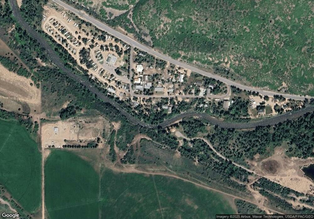
Map
Nearby Homes
- 1555 N Wolf Creek Ranch Rd Unit 11
- 4891 S Woodland Way
- 3770 S Woodland Way
- 5071 S Woodland Way Unit 30-32
- 5071 S Woodland Way Unit 30
- 5012 S Sheep Dog Trail Unit 22
- 2565 Woodland Way
- 00 Woodland Dr
- 1555 N Wolf Creek Ranch Rd Unit 11
- 1943 N Wolf Creek Ranch Rd Unit 12
- 1943 N Wolf Creek Ranch Rd
- 11042 Wild Elk Meadow
- 3716 Chokecherry Ln Unit 343
- 11042 E Wild Elk Meadow
- 3902 Beaver Creek Rd
- 3805 Beaver Creek Rd
- 438 Beaver Creek Rd Unit 438
- 3589 Beaver Creek Rd
- 3889 Riverview Dr Unit 168
- 3005 S Rock View Dr
- 5225 Killkare Loop
- 5233 E State Road 35
- 5272 Killkare Loop
- 5207 Killkare Loop
- 5253 Killkare Loop
- 5226 Killkare Way
- 5195 Killkare Way
- 5195 Killkare Loop
- 5195 Killkare Loop Unit 19
- 5226 Killkare Loop
- 5242 Killkare Loop
- 5208 Killkare Loop
- 5196 Killkare Loop
- 5258 Killkare Loop
- 5267 Killkare Way
- 5267 Killkare Loop
- 5194 Killkare Loop
- 5285 Killlkare Way
- 5347 Killkare Way Unit 28,29
- 5252 E Highway 35
Your Personal Tour Guide
Ask me questions while you tour the home.