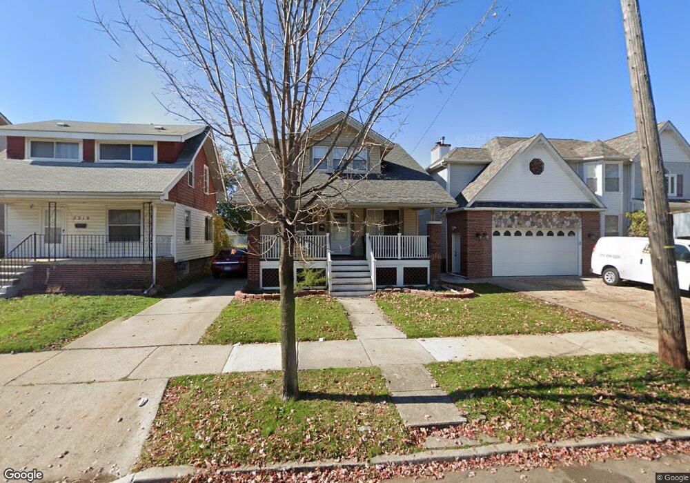
5225 Maple St Unit Bldg-Unit Dearborn, MI 48126
Colson Ruby NeighborhoodEstimated Value: $226,284 - $311,000
4
Beds
2
Baths
1,524
Sq Ft
$183/Sq Ft
Est. Value
About This Home
This home is located at 5225 Maple St Unit Bldg-Unit, Dearborn, MI 48126 and is currently estimated at $278,321, approximately $182 per square foot. 5225 Maple St Unit Bldg-Unit is a home located in Wayne County with nearby schools including Henry Ford Elementary School, Fordson High School, and Advanced Technology Academy.
Ownership History
Date
Name
Owned For
Owner Type
Purchase Details
Closed on
Aug 10, 2018
Sold by
Pop John
Bought by
Ahmed Ali
Current Estimated Value
Home Financials for this Owner
Home Financials are based on the most recent Mortgage that was taken out on this home.
Original Mortgage
$116,000
Outstanding Balance
$100,741
Interest Rate
4.5%
Mortgage Type
New Conventional
Estimated Equity
$177,580
Purchase Details
Closed on
Dec 21, 2005
Sold by
Shrewsbury Everett R and Shrewsbury Judith K
Bought by
Pop John
Create a Home Valuation Report for This Property
The Home Valuation Report is an in-depth analysis detailing your home's value as well as a comparison with similar homes in the area
Home Values in the Area
Average Home Value in this Area
Purchase History
| Date | Buyer | Sale Price | Title Company |
|---|---|---|---|
| Ahmed Ali | $145,000 | Title One Inc | |
| Pop John | $126,500 | Multiple |
Source: Public Records
Mortgage History
| Date | Status | Borrower | Loan Amount |
|---|---|---|---|
| Open | Ahmed Ali | $116,000 |
Source: Public Records
Tax History
| Year | Tax Paid | Tax Assessment Tax Assessment Total Assessment is a certain percentage of the fair market value that is determined by local assessors to be the total taxable value of land and additions on the property. | Land | Improvement |
|---|---|---|---|---|
| 2025 | $2,974 | $99,800 | $0 | $0 |
| 2024 | $2,909 | $79,800 | $0 | $0 |
| 2023 | $2,574 | $67,900 | $0 | $0 |
| 2022 | $2,897 | $63,300 | $0 | $0 |
| 2021 | $3,366 | $59,900 | $0 | $0 |
| 2019 | $442 | $52,800 | $0 | $0 |
| 2018 | $2,134 | $47,500 | $0 | $0 |
| 2017 | $502 | $44,300 | $0 | $0 |
| 2016 | $2,019 | $41,900 | $0 | $0 |
| 2015 | $3,097 | $34,000 | $0 | $0 |
| 2013 | $3,000 | $30,000 | $0 | $0 |
| 2011 | -- | $34,100 | $0 | $0 |
Source: Public Records
Map
Nearby Homes
- 5003 Middlesex St
- 4913 Middlesex St
- 5444 Kenilworth St
- 7800 Schaefer Rd
- 5637 Horger St
- 5424 Bingham St
- 5430 Kendal St
- 5510 Bingham St
- 5411 Reuter St
- 5059 Hartwell St
- 7 Georgetown Ct
- 5439 Hartwell St
- 5444 Hartwell St
- 4315 Bingham St
- 5861 Bingham St
- 4236 Schaefer Rd Unit 4
- 4215 Schaefer Rd
- 6019 Maple St
- 5910 Kendal St
- 5515 Ternes St
- 5225 Maple St
- 5219 Maple St
- 5235 Maple St
- 5211 Maple St
- 5245 Maple St Unit Bldg-Unit
- 5245 Maple St
- 5205 Maple St
- 5253 Maple St
- 5159 Maple St
- 5222 Horger St
- 5218 Horger St
- 5230 Horger St
- 5210 Horger St
- 5244 Horger St
- 5224 Maple St
- 5259 Maple St
- 5151 Maple St
- 5202 Horger St
- 5210 Maple St
- 5238 Maple St
Your Personal Tour Guide
Ask me questions while you tour the home.