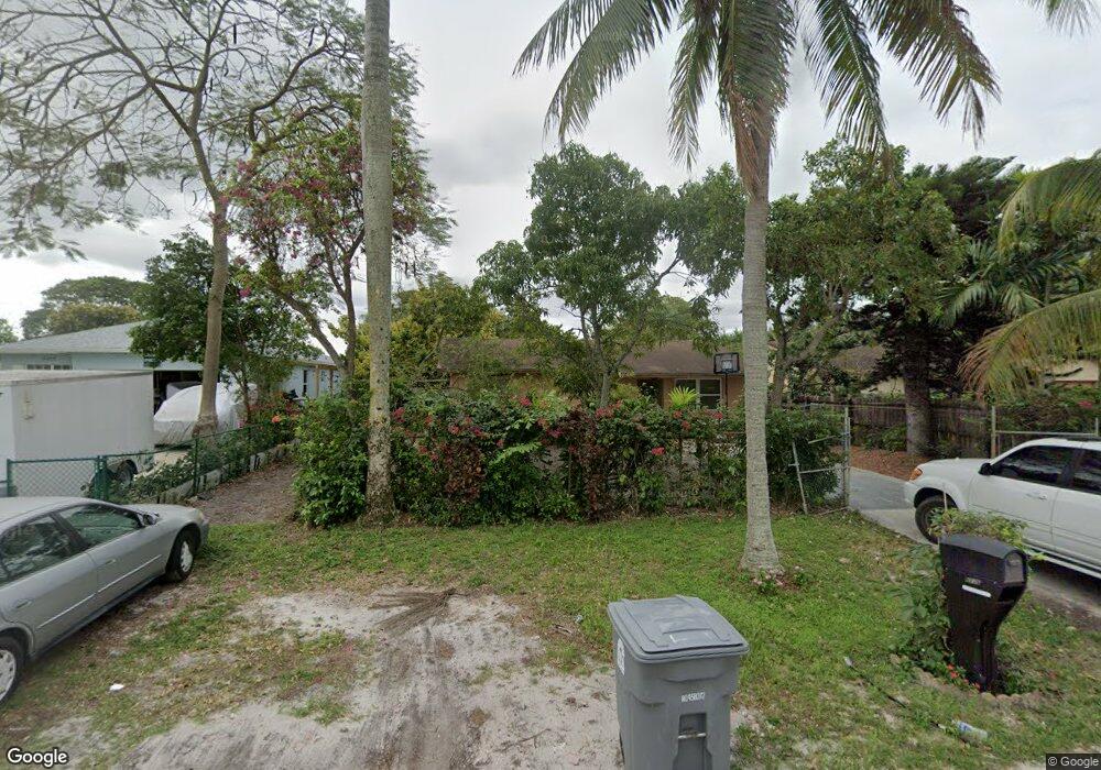
5226 Ferndale Dr Delray Beach, FL 33484
Palm Greens NeighborhoodEstimated Value: $356,000 - $438,000
--
Bed
2
Baths
1,296
Sq Ft
$319/Sq Ft
Est. Value
About This Home
This home is located at 5226 Ferndale Dr, Delray Beach, FL 33484 and is currently estimated at $414,058, approximately $319 per square foot. 5226 Ferndale Dr is a home located in Palm Beach County with nearby schools including Banyan Creek Elementary School, Carver Community Middle School, and Atlantic High School.
Ownership History
Date
Name
Owned For
Owner Type
Purchase Details
Closed on
Mar 30, 2015
Sold by
Castin Fersene and Castin Mimose
Bought by
Mahotiere Jean R
Current Estimated Value
Purchase Details
Closed on
Aug 2, 2002
Sold by
Fuentes Ernesto and Fuentes Laura
Bought by
Castin Albert and Castin Elienne
Home Financials for this Owner
Home Financials are based on the most recent Mortgage that was taken out on this home.
Original Mortgage
$134,437
Interest Rate
6.52%
Mortgage Type
FHA
Create a Home Valuation Report for This Property
The Home Valuation Report is an in-depth analysis detailing your home's value as well as a comparison with similar homes in the area
Home Values in the Area
Average Home Value in this Area
Purchase History
| Date | Buyer | Sale Price | Title Company |
|---|---|---|---|
| Mahotiere Jean R | -- | Attorney | |
| Castin Albert | $135,500 | Universal Land Title Inc |
Source: Public Records
Mortgage History
| Date | Status | Borrower | Loan Amount |
|---|---|---|---|
| Previous Owner | Castin Albert | $134,437 |
Source: Public Records
Tax History Compared to Growth
Tax History
| Year | Tax Paid | Tax Assessment Tax Assessment Total Assessment is a certain percentage of the fair market value that is determined by local assessors to be the total taxable value of land and additions on the property. | Land | Improvement |
|---|---|---|---|---|
| 2024 | $5,850 | $278,315 | -- | -- |
| 2023 | $5,424 | $253,014 | $154,697 | $164,990 |
| 2022 | $5,123 | $230,013 | $0 | $0 |
| 2021 | $4,487 | $215,863 | $78,000 | $137,863 |
| 2020 | $4,133 | $190,094 | $78,000 | $112,094 |
| 2019 | $3,889 | $173,922 | $74,000 | $99,922 |
| 2018 | $3,537 | $159,156 | $53,366 | $105,790 |
| 2017 | $3,504 | $162,277 | $53,366 | $108,911 |
| 2016 | $3,150 | $129,198 | $0 | $0 |
| 2015 | $2,179 | $97,972 | $0 | $0 |
| 2014 | $1,840 | $92,632 | $0 | $0 |
Source: Public Records
Map
Nearby Homes
- 5220 Nesting Way Unit 40
- 5170 Nesting Way Unit B
- 5300 Nesting Way Unit 365A
- 5270 Nesting Way Unit 20
- 5222 Privet Place Unit 212
- 5130 Nesting Way Unit D
- 5130 Nesting Way Unit C
- 13950 Nesting Way Unit 30
- 5200 Privet Place Unit 322
- 5070 Nesting Way Unit B
- 5178 Privet Place Unit 334
- 5075 Petal Place Unit 291
- 13930 Nesting Way Unit 30
- 14080 Nesting Way Unit 10
- 5020 Petal Place Unit 281
- 5113 Poppy Place Unit 475
- 14120 Nesting Way Unit 20
- 5094 Privet Place Unit 372
- 14110 Nesting Way Unit 10
- 5139 Poppy Place Unit 481
- 5212 Ferndale Dr
- 5238 Ferndale Dr
- 5204 Ferndale Dr
- 5192 Ferndale Dr
- 5227 Ferndale Dr
- 5215 Ferndale Dr
- 5239 Ferndale Dr
- 5182 Ferndale Dr
- 5180 Nesting Way Unit 20
- 5180 Nesting Way Unit 40
- 5180 Nesting Way Unit 20
- 5180 Nesting Way Unit 10
- 5180 Nesting Way Unit 30
- 5193 Ferndale Dr
- 5185 Nesting Way
- 5220 Nesting Way Unit B
- 5220 Nesting Way Unit 10
- 5220 Nesting Way Unit 30
- 5220 Nesting Way Unit 20
- 5170 Ferndale Dr