Estimated Value: $76,000 - $113,000
2
Beds
2
Baths
1,000
Sq Ft
$100/Sq Ft
Est. Value
About This Home
This home is located at 5228 Eb St, Mingo, OH 43047 and is currently estimated at $100,358, approximately $100 per square foot. 5228 Eb St is a home with nearby schools including Triad Elementary School, Triad Middle School, and Triad High School.
Ownership History
Date
Name
Owned For
Owner Type
Purchase Details
Closed on
May 9, 2013
Sold by
Estate Of Dale Perdue Sr
Bought by
Perdue Lisa
Current Estimated Value
Purchase Details
Closed on
Feb 9, 2010
Sold by
Fannie Mae
Bought by
Perdue Dale
Purchase Details
Closed on
May 26, 2009
Sold by
Countrywide Home Loans Servicing Lp
Bought by
Fannie Mae and Federal National Mortgage Association
Purchase Details
Closed on
Mar 15, 1995
Sold by
Wright James W
Bought by
Penhorwood William D and Penhorwood Lois
Create a Home Valuation Report for This Property
The Home Valuation Report is an in-depth analysis detailing your home's value as well as a comparison with similar homes in the area
Purchase History
| Date | Buyer | Sale Price | Title Company |
|---|---|---|---|
| Perdue Lisa | -- | None Available | |
| Perdue Dale | $30,000 | Title First Agency Inc | |
| Fannie Mae | -- | None Available | |
| Penhorwood William D | $43,260 | -- |
Source: Public Records
Tax History
| Year | Tax Paid | Tax Assessment Tax Assessment Total Assessment is a certain percentage of the fair market value that is determined by local assessors to be the total taxable value of land and additions on the property. | Land | Improvement |
|---|---|---|---|---|
| 2024 | $1,357 | $23,200 | $2,430 | $20,770 |
| 2023 | $940 | $23,200 | $2,430 | $20,770 |
| 2022 | $958 | $23,200 | $2,430 | $20,770 |
| 2021 | $834 | $18,550 | $1,940 | $16,610 |
| 2020 | $834 | $18,550 | $1,940 | $16,610 |
| 2019 | $823 | $18,550 | $1,940 | $16,610 |
| 2018 | $711 | $16,030 | $1,700 | $14,330 |
| 2017 | $662 | $16,030 | $1,700 | $14,330 |
| 2016 | $657 | $16,030 | $1,700 | $14,330 |
| 2015 | $631 | $15,520 | $1,700 | $13,820 |
| 2014 | $660 | $15,520 | $1,700 | $13,820 |
| 2013 | $624 | $15,520 | $1,700 | $13,820 |
Source: Public Records
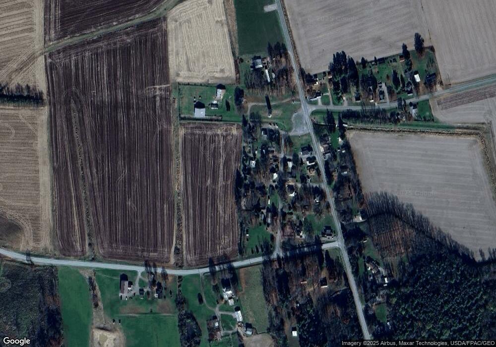
Map
Nearby Homes
- 6704 Stevenson Rd
- 0 Cox Rd Lot 6
- 5061 Cox Rd
- 5611 State Route 296
- 7521 Brush Lake Rd
- Lot 2 N Ludlow Rd
- 28 Lloyd Dr
- 89 W Maple St
- 173 Lincoln Place
- 0 Lincoln Place Unit 226000852
- 1992 Kennard Kingscreek Rd
- 41 E Townsend St
- 106 Cherry St
- 8512 Township Road 29
- 170 N Parkview Rd
- 10343 Urbana Woodstock Pike
- 0 County Road 47
- 7320 Long Pond Rd
- 7181 Long Pond Rd
- 0 Ohio 296
Your Personal Tour Guide
Ask me questions while you tour the home.