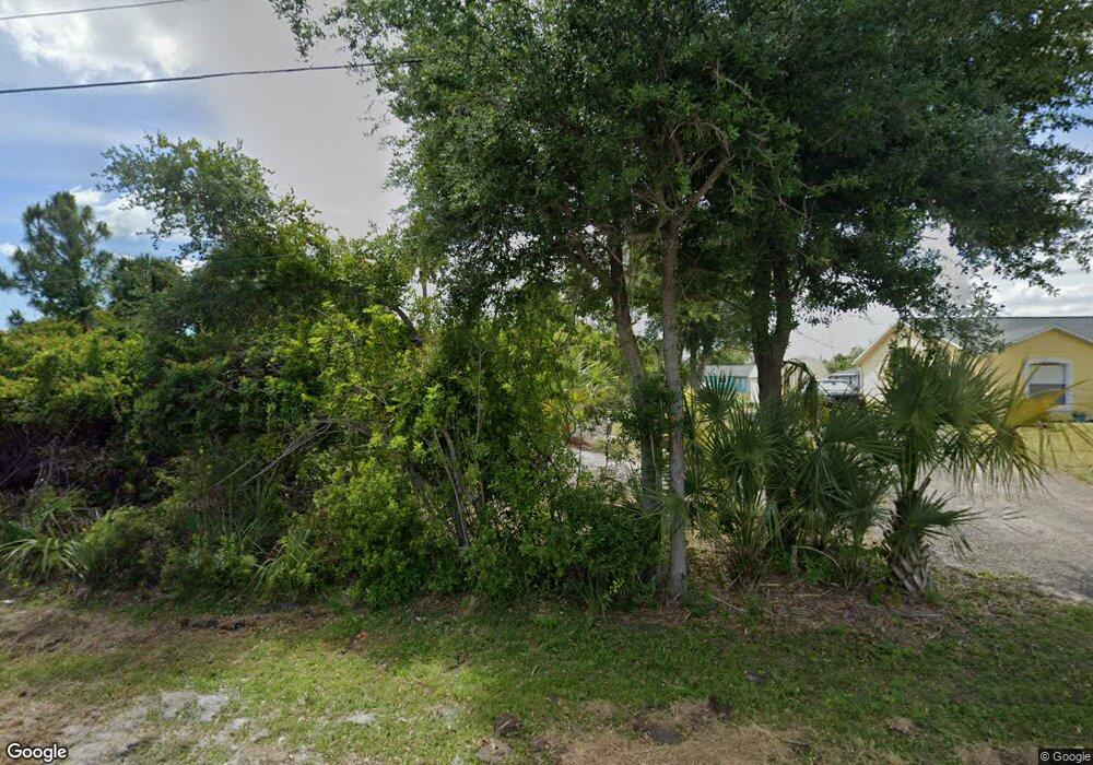
5229 Cannon St Port Charlotte, FL 33981
Gulf Cove NeighborhoodEstimated Value: $19,000 - $321,000
--
Bed
--
Bath
--
Sq Ft
10,019
Sq Ft Lot
About This Home
This home is located at 5229 Cannon St, Port Charlotte, FL 33981 and is currently estimated at $104,544. 5229 Cannon St is a home located in Charlotte County with nearby schools including Myakka River Elementary School, L.A. Ainger Middle School, and Lemon Bay High School.
Ownership History
Date
Name
Owned For
Owner Type
Purchase Details
Closed on
Mar 27, 2024
Sold by
Charlotte County
Bought by
Arcol Investments Group Llc
Current Estimated Value
Purchase Details
Closed on
Apr 7, 2009
Sold by
Land Investors Corporation
Bought by
Solchaga Jean and Solchaga Irene
Purchase Details
Closed on
Dec 10, 2008
Sold by
Jimison Joseph C and Jimison Susan O
Bought by
Land Investors Corporation
Purchase Details
Closed on
Nov 15, 1993
Sold by
Nationsbank Fl N A
Bought by
Jimison Joseph C and Jimison Susan J
Create a Home Valuation Report for This Property
The Home Valuation Report is an in-depth analysis detailing your home's value as well as a comparison with similar homes in the area
Home Values in the Area
Average Home Value in this Area
Purchase History
| Date | Buyer | Sale Price | Title Company |
|---|---|---|---|
| Arcol Investments Group Llc | $18,000 | None Listed On Document | |
| Solchaga Jean | $17,000 | Florida Abstract & Security | |
| Land Investors Corporation | $6,900 | Florida Abstract & Security | |
| Jimison Joseph C | $10,800 | -- |
Source: Public Records
Tax History Compared to Growth
Tax History
| Year | Tax Paid | Tax Assessment Tax Assessment Total Assessment is a certain percentage of the fair market value that is determined by local assessors to be the total taxable value of land and additions on the property. | Land | Improvement |
|---|---|---|---|---|
| 2024 | $414 | $15,300 | $15,300 | -- |
| 2023 | $407 | $16,150 | $16,150 | $0 |
| 2022 | $359 | $13,324 | $13,324 | $0 |
| 2021 | $301 | $4,686 | $4,686 | $0 |
| 2020 | $329 | $4,686 | $4,686 | $0 |
| 2019 | $321 | $4,373 | $4,373 | $0 |
| 2018 | $310 | $4,165 | $4,165 | $0 |
| 2017 | $304 | $4,046 | $4,046 | $0 |
| 2016 | $300 | $2,922 | $0 | $0 |
| 2015 | $289 | $2,656 | $0 | $0 |
| 2014 | $279 | $2,572 | $0 | $0 |
Source: Public Records
Map
Nearby Homes
- 5163 Cannon St
- 12405 Fairwind Ave
- 12361 Prudential Ave
- 4348 Kennel St
- 6361 David Blvd
- 5129 Rilke Ln
- 12393 Prudential Ave
- 5104 Munhall St
- 12120 Kingsbury Ave
- 6529 David Blvd
- 12152 Snow Bird Ave
- 6312 David Blvd
- 5227 Dayton Ln
- 5413 Dayton Ln
- 5180 Montego Ln
- 12400 Prudential Ave
- 12376 Prudential Ave
- 12180 Shellnut Ave
- 12108 Wellington Ave
- 5054 Cannon St