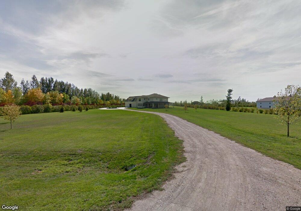
523 42nd Ave W West Fargo, ND 58078
Westport Beach NeighborhoodEstimated Value: $874,000
4
Beds
3
Baths
5,116
Sq Ft
$171/Sq Ft
Est. Value
About This Home
This home is located at 523 42nd Ave W, West Fargo, ND 58078 and is currently priced at $874,000, approximately $170 per square foot. 523 42nd Ave W is a home with nearby schools including Legacy Elementary School, Liberty Middle School, and West Fargo Sheyenne High School.
Ownership History
Date
Name
Owned For
Owner Type
Purchase Details
Closed on
Sep 30, 2009
Sold by
Kotrba Jacob J and Kotrba Diane R
Bought by
Thomas John C and Thomas Amanda
Current Estimated Value
Purchase Details
Closed on
Jan 28, 2009
Sold by
Bruns Robert J and Bruns Lorraine C
Bought by
Kotrba Jacob J and Kotrba Diana R
Home Financials for this Owner
Home Financials are based on the most recent Mortgage that was taken out on this home.
Original Mortgage
$86,000
Interest Rate
5.19%
Mortgage Type
Future Advance Clause Open End Mortgage
Create a Home Valuation Report for This Property
The Home Valuation Report is an in-depth analysis detailing your home's value as well as a comparison with similar homes in the area
Home Values in the Area
Average Home Value in this Area
Purchase History
| Date | Buyer | Sale Price | Title Company |
|---|---|---|---|
| Thomas John C | -- | -- | |
| Kotrba Jacob J | -- | -- |
Source: Public Records
Mortgage History
| Date | Status | Borrower | Loan Amount |
|---|---|---|---|
| Previous Owner | Kotrba Jacob J | $86,000 |
Source: Public Records
Tax History Compared to Growth
Tax History
| Year | Tax Paid | Tax Assessment Tax Assessment Total Assessment is a certain percentage of the fair market value that is determined by local assessors to be the total taxable value of land and additions on the property. | Land | Improvement |
|---|---|---|---|---|
| 2024 | $17,123 | $597,500 | $110,800 | $486,700 |
| 2023 | $16,039 | $537,850 | $93,300 | $444,550 |
| 2022 | $15,297 | $503,950 | $93,300 | $410,650 |
| 2021 | $14,033 | $455,550 | $56,450 | $399,100 |
| 2020 | $12,874 | $420,500 | $56,450 | $364,050 |
| 2019 | $13,111 | $423,750 | $56,450 | $367,300 |
| 2018 | $13,125 | $440,050 | $56,450 | $383,600 |
| 2017 | $11,889 | $414,000 | $56,450 | $357,550 |
| 2016 | $10,533 | $418,550 | $56,450 | $362,100 |
| 2015 | $8,581 | $321,650 | $37,300 | $284,350 |
| 2014 | $6,362 | $300,600 | $37,300 | $263,300 |
| 2013 | $6,080 | $211,200 | $37,300 | $173,900 |
Source: Public Records
Map
Nearby Homes
- 4534 Westport Pkwy
- 4355 66th St S
- 4337 66th St S
- 4507 Newport Ln
- 909 38 1 2 Ave W
- 4509 11th St W
- 1054 42nd Ave W
- 6511 Osgood Pkwy S
- 319 50th Place W
- 1168 43rd Ave W
- 1156 42nd Ave W Unit A
- 1381 Westport Beach Way
- 1040 39th Ave W
- 3662 N Sedona Ct
- 3830 3rd St E
- 1236 S Beach Way
- 4717 11th St W
- 819 Rania Way W
- 911 50th Ave W
- 106 50th Ave E