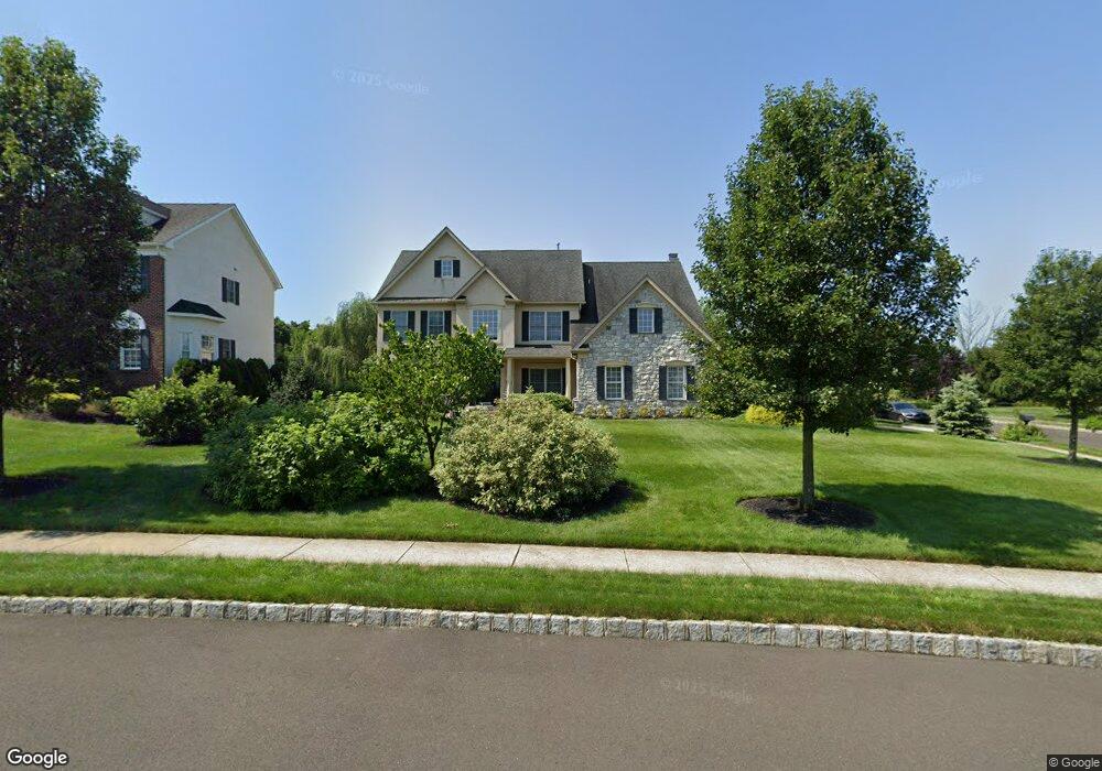
523 Cornell Dr Warrington, PA 18976
Estimated Value: $935,685 - $1,057,000
4
Beds
4
Baths
3,374
Sq Ft
$298/Sq Ft
Est. Value
About This Home
This home is located at 523 Cornell Dr, Warrington, PA 18976 and is currently estimated at $1,004,171, approximately $297 per square foot. 523 Cornell Dr is a home located in Bucks County with nearby schools including Kutz Elementary School, Lenape Middle School, and Central Bucks High School-West.
Ownership History
Date
Name
Owned For
Owner Type
Purchase Details
Closed on
Dec 17, 2007
Sold by
The Cutler Group Inc
Bought by
Blastic Raymond M and Blastic Anne M
Current Estimated Value
Home Financials for this Owner
Home Financials are based on the most recent Mortgage that was taken out on this home.
Original Mortgage
$363,000
Outstanding Balance
$228,692
Interest Rate
6.21%
Mortgage Type
Purchase Money Mortgage
Estimated Equity
$775,479
Create a Home Valuation Report for This Property
The Home Valuation Report is an in-depth analysis detailing your home's value as well as a comparison with similar homes in the area
Home Values in the Area
Average Home Value in this Area
Purchase History
| Date | Buyer | Sale Price | Title Company |
|---|---|---|---|
| Blastic Raymond M | $525,000 | Landamerica |
Source: Public Records
Mortgage History
| Date | Status | Borrower | Loan Amount |
|---|---|---|---|
| Open | Blastic Raymond M | $363,000 |
Source: Public Records
Tax History Compared to Growth
Tax History
| Year | Tax Paid | Tax Assessment Tax Assessment Total Assessment is a certain percentage of the fair market value that is determined by local assessors to be the total taxable value of land and additions on the property. | Land | Improvement |
|---|---|---|---|---|
| 2025 | $10,192 | $55,210 | $9,300 | $45,910 |
| 2024 | $10,192 | $55,210 | $9,300 | $45,910 |
| 2023 | $9,436 | $55,210 | $9,300 | $45,910 |
| 2022 | $9,249 | $55,210 | $9,300 | $45,910 |
| 2021 | $9,147 | $55,210 | $9,300 | $45,910 |
| 2020 | $9,147 | $55,210 | $9,300 | $45,910 |
| 2019 | $9,091 | $55,210 | $9,300 | $45,910 |
| 2018 | $8,990 | $55,210 | $9,300 | $45,910 |
| 2017 | $8,869 | $55,210 | $9,300 | $45,910 |
| 2016 | $8,841 | $55,210 | $9,300 | $45,910 |
| 2015 | -- | $55,210 | $9,300 | $45,910 |
| 2014 | -- | $55,210 | $9,300 | $45,910 |
Source: Public Records
Map
Nearby Homes
- 612 Bethel Ln Unit THE ROOSEVELT PLAN
- 100 Ginko St Unit 202
- 200 Beech Blvd Unit 301
- 20 Woodstone Dr
- 1323 School Ln
- 242 Snapdragon St
- 430 Homestead Cir
- 73 Tradesville Dr
- 73 Tradesville Dr Unit 80
- 52 Tradesville Dr Unit 83
- Vetri Plan at Doylestown Walk
- 52 Tradesville Dr
- 2 Mill Creek Dr
- 2 Mill Creek Dr Unit 137
- 1 Mill Creek Dr
- 110 Zircon Ct Unit 14
- 623 Addison Way
- 6 Mill Creek Dr
- 858 Elbow Ln
- 803 Sweet Cherry St
- 521 Cornell Dr
- 604 Bethel Ln
- 604 Bethel Ln Unit 30
- 612 Bethel Ln Unit THE MONROE PLAN
- 612 Bethel Ln
- 522 Cornell Dr
- 526 Cornell Dr
- 520 Cornell Dr
- 519 Cornell Dr
- 517 Cornell Dr
- 518 Cornell Dr
- 528 Cornell Dr
- 1112 Princeton Ct
- 0 Bethel Ln Unit 36666698
- 0 Bethel Ln Unit 36666655
- 0 Bethel Ln Unit 36666597
- 0 Bethel Ln Unit 36666489
- 0 Bethel Ln Unit 36666470
- 0 Bethel Ln Unit 36666459
- 516 Cornell Dr