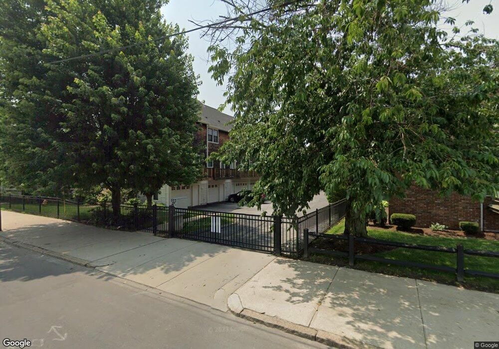
523 Hancock St Unit 4 Quincy, MA 02170
Montclair NeighborhoodEstimated Value: $669,378 - $752,000
2
Beds
3
Baths
1,088
Sq Ft
$640/Sq Ft
Est. Value
About This Home
This home is located at 523 Hancock St Unit 4, Quincy, MA 02170 and is currently estimated at $695,845, approximately $639 per square foot. 523 Hancock St Unit 4 is a home located in Norfolk County with nearby schools including Montclair Elementary School, Atlantic Middle School, and North Quincy High School.
Ownership History
Date
Name
Owned For
Owner Type
Purchase Details
Closed on
May 23, 2005
Sold by
Saint Chrysostom Bldg
Bought by
Mantia Robert A
Current Estimated Value
Home Financials for this Owner
Home Financials are based on the most recent Mortgage that was taken out on this home.
Original Mortgage
$316,000
Outstanding Balance
$165,927
Interest Rate
5.95%
Mortgage Type
Purchase Money Mortgage
Estimated Equity
$529,918
Create a Home Valuation Report for This Property
The Home Valuation Report is an in-depth analysis detailing your home's value as well as a comparison with similar homes in the area
Home Values in the Area
Average Home Value in this Area
Purchase History
| Date | Buyer | Sale Price | Title Company |
|---|---|---|---|
| Mantia Robert A | $395,000 | -- |
Source: Public Records
Mortgage History
| Date | Status | Borrower | Loan Amount |
|---|---|---|---|
| Open | Mantia Robert A | $316,000 | |
| Closed | Mantia Robert A | $316,000 |
Source: Public Records
Tax History Compared to Growth
Tax History
| Year | Tax Paid | Tax Assessment Tax Assessment Total Assessment is a certain percentage of the fair market value that is determined by local assessors to be the total taxable value of land and additions on the property. | Land | Improvement |
|---|---|---|---|---|
| 2025 | $6,602 | $572,600 | $0 | $572,600 |
| 2024 | $6,302 | $559,200 | $0 | $559,200 |
| 2023 | $5,830 | $523,800 | $0 | $523,800 |
| 2022 | $6,174 | $515,400 | $0 | $515,400 |
| 2021 | $6,031 | $496,800 | $0 | $496,800 |
| 2020 | $5,871 | $472,300 | $0 | $472,300 |
| 2019 | $5,814 | $463,300 | $0 | $463,300 |
| 2018 | $5,736 | $430,000 | $0 | $430,000 |
| 2017 | $5,733 | $404,600 | $0 | $404,600 |
| 2016 | $5,513 | $383,900 | $0 | $383,900 |
| 2015 | $5,490 | $376,000 | $0 | $376,000 |
| 2014 | $5,072 | $341,300 | $0 | $341,300 |
Source: Public Records
Map
Nearby Homes
- 522 Hancock St
- 511 Hancock St Unit 207
- 26 Buckingham Rd
- 21 Linden St Unit 417
- 43 Ellington Rd
- 143 Arlington St
- 204 Farrington St
- 22 Beach St
- 101 Beach St
- 65 - 67 Davis St
- 129 Beale St
- 237 Billings Rd
- 39 Fayette St Unit 102
- 72 Waterston Ave
- 1 Edwin St Unit C
- 115 W Squantum St Unit 810
- 115 W Squantum St Unit 907
- 123 Waterston Ave
- 158 W Elm Ave
- 55 Warren Ave
- 523 Hancock St Unit 9
- 523 Hancock St Unit 8
- 523 Hancock St Unit 7
- 523 Hancock St Unit 6
- 523 Hancock St Unit 5
- 523 Hancock St Unit 3
- 523 Hancock St Unit 2
- 523 Hancock St Unit 10
- 517 Hancock St Unit 22
- 517 Hancock St Unit 12
- 517 Hancock St Unit 21
- 517 Hancock St Unit 16
- 517 Hancock St Unit 24
- 517 Hancock St Unit 23
- 517 Hancock St Unit 33
- 517 Hancock St Unit 20
- 517 Hancock St
- 2 Cheriton Rd
- 2 Cheriton Rd Unit 2
- 522 Hancock St Unit 1