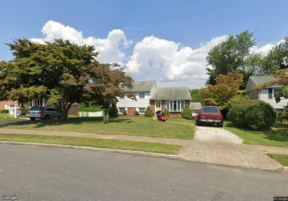
523 Maddock Rd Springfield, PA 19064
Estimated Value: $501,000 - $537,000
3
Beds
3
Baths
1,933
Sq Ft
$271/Sq Ft
Est. Value
About This Home
This home is located at 523 Maddock Rd, Springfield, PA 19064 and is currently estimated at $524,440, approximately $271 per square foot. 523 Maddock Rd is a home located in Delaware County with nearby schools including Springfield High School, St Francis Of Assisi School, and Holy Cross School.
Ownership History
Date
Name
Owned For
Owner Type
Purchase Details
Closed on
May 8, 2024
Sold by
Perri Christopher G and Perri Margaret
Bought by
Perri Christopher G
Current Estimated Value
Home Financials for this Owner
Home Financials are based on the most recent Mortgage that was taken out on this home.
Original Mortgage
$260,000
Outstanding Balance
$256,584
Interest Rate
7.22%
Mortgage Type
New Conventional
Estimated Equity
$267,856
Purchase Details
Closed on
Dec 11, 2001
Sold by
Estate Of Francis Joseph Perri
Bought by
Perri Christopher G and Perri Margaret
Home Financials for this Owner
Home Financials are based on the most recent Mortgage that was taken out on this home.
Original Mortgage
$127,900
Interest Rate
6.72%
Create a Home Valuation Report for This Property
The Home Valuation Report is an in-depth analysis detailing your home's value as well as a comparison with similar homes in the area
Home Values in the Area
Average Home Value in this Area
Purchase History
| Date | Buyer | Sale Price | Title Company |
|---|---|---|---|
| Perri Christopher G | -- | None Listed On Document | |
| Perri Christopher G | -- | None Listed On Document | |
| Perri Christopher G | $159,900 | -- |
Source: Public Records
Mortgage History
| Date | Status | Borrower | Loan Amount |
|---|---|---|---|
| Open | Perri Christopher G | $260,000 | |
| Closed | Perri Christopher G | $260,000 | |
| Previous Owner | Perri Christopher G | $127,900 |
Source: Public Records
Tax History
| Year | Tax Paid | Tax Assessment Tax Assessment Total Assessment is a certain percentage of the fair market value that is determined by local assessors to be the total taxable value of land and additions on the property. | Land | Improvement |
|---|---|---|---|---|
| 2025 | $7,933 | $282,240 | $102,880 | $179,360 |
| 2024 | $7,933 | $282,240 | $102,880 | $179,360 |
| 2023 | $7,639 | $282,240 | $102,880 | $179,360 |
| 2022 | $7,473 | $282,240 | $102,880 | $179,360 |
| 2021 | $11,574 | $282,240 | $102,880 | $179,360 |
| 2020 | $7,554 | $166,710 | $49,460 | $117,250 |
| 2019 | $7,377 | $166,710 | $49,460 | $117,250 |
| 2018 | $7,271 | $166,710 | $0 | $0 |
| 2017 | $7,103 | $166,710 | $0 | $0 |
| 2016 | $915 | $166,710 | $0 | $0 |
| 2015 | $934 | $166,710 | $0 | $0 |
| 2014 | $915 | $166,710 | $0 | $0 |
Source: Public Records
Map
Nearby Homes
- 641 W Sproul Rd
- 147 Snyder Ln
- 516 Beatty Rd
- 111 Forest Rd
- 606 W Springfield Rd
- 31 Wayfield Rd
- 364 S Rolling Rd
- 1291 Country Club Dr Unit Q137
- 1299 Country Club Dr Unit Q141
- 493 Wheatsheaf Rd
- 1433 Country Club Dr Unit T214
- 227 E Leamy Ave
- 120 W Springfield Rd
- 501 Flora Cir
- 309 Corvus Cir
- 226 Lynbrooke Rd
- 1588 Nicklaus Dr Unit H65
- 332 Franklin Ave
- 509 Beatty Rd
- 29 School Ln
- 527 Maddock Rd
- 519 Maddock Rd
- 531 Maddock Rd
- 515 Maddock Rd
- 580 W Woodland Ave
- 524 Maddock Rd
- 574 W Woodland Ave
- 535 Maddock Rd
- 600 W Woodland Ave
- 516 Maddock Rd
- 534 Maddock Rd
- 507 Maddock Rd
- 588 W Woodland Ave
- 566 W Woodland Ave
- 539 Maddock Rd
- 512 Maddock Rd
- 501 Maddock Rd
- 560 W Woodland Ave
- 544 Maddock Rd
- 639 W Sproul Rd
Your Personal Tour Guide
Ask me questions while you tour the home.