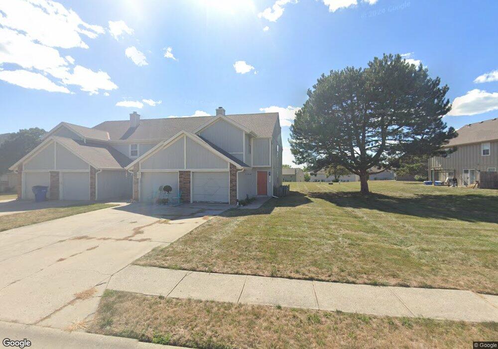
523 NE 6th St Unit B Blue Springs, MO 64014
Estimated Value: $165,221 - $185,000
2
Beds
1
Bath
1,296
Sq Ft
$136/Sq Ft
Est. Value
About This Home
This home is located at 523 NE 6th St Unit B, Blue Springs, MO 64014 and is currently estimated at $176,055, approximately $135 per square foot. 523 NE 6th St Unit B is a home located in Jackson County with nearby schools including James Walker Elementary School, Brittany Hill Middle School, and Blue Springs High School.
Ownership History
Date
Name
Owned For
Owner Type
Purchase Details
Closed on
Aug 2, 2005
Sold by
Dewar Randy and Dewar Cheryl
Bought by
Johnson John D
Current Estimated Value
Home Financials for this Owner
Home Financials are based on the most recent Mortgage that was taken out on this home.
Original Mortgage
$16,300
Interest Rate
5.65%
Mortgage Type
Stand Alone Second
Purchase Details
Closed on
Dec 5, 1997
Sold by
Schulz Howard R and Schulz Constance J
Bought by
Dewar Randy L and Dewar Cheryl K
Home Financials for this Owner
Home Financials are based on the most recent Mortgage that was taken out on this home.
Original Mortgage
$42,112
Interest Rate
7.22%
Create a Home Valuation Report for This Property
The Home Valuation Report is an in-depth analysis detailing your home's value as well as a comparison with similar homes in the area
Home Values in the Area
Average Home Value in this Area
Purchase History
| Date | Buyer | Sale Price | Title Company |
|---|---|---|---|
| Johnson John D | -- | Metro | |
| Dewar Randy L | -- | -- |
Source: Public Records
Mortgage History
| Date | Status | Borrower | Loan Amount |
|---|---|---|---|
| Closed | Johnson John D | $16,300 | |
| Open | Johnson John D | $65,200 | |
| Previous Owner | Dewar Randy L | $42,112 |
Source: Public Records
Tax History Compared to Growth
Tax History
| Year | Tax Paid | Tax Assessment Tax Assessment Total Assessment is a certain percentage of the fair market value that is determined by local assessors to be the total taxable value of land and additions on the property. | Land | Improvement |
|---|---|---|---|---|
| 2025 | $1,870 | $22,865 | $1,064 | $21,801 |
| 2024 | $1,834 | $22,925 | $1,343 | $21,582 |
| 2023 | $1,834 | $22,926 | $2,157 | $20,769 |
| 2022 | $1,565 | $17,290 | $1,550 | $15,740 |
| 2021 | $1,564 | $17,290 | $1,550 | $15,740 |
| 2020 | $1,350 | $15,175 | $1,550 | $13,625 |
| 2019 | $1,305 | $15,175 | $1,550 | $13,625 |
| 2018 | $902,743 | $9,518 | $1,550 | $7,968 |
| 2017 | $850 | $9,518 | $1,550 | $7,968 |
| 2016 | $835 | $9,378 | $1,550 | $7,828 |
| 2014 | $1,078 | $12,065 | $1,550 | $10,515 |
Source: Public Records
Map
Nearby Homes
- 510 NE Knox St Unit A
- 423 NE Adams Dairy Pkwy
- 371 NE Adams Dairy Pkwy
- 273 NE Adams Dairy Pkwy
- 409 NE Summit Dr
- 231 NE Adams Dairy Pkwy
- 570 NW Valleybrook Rd Unit 5
- 211 NE Hearnes Ave
- 125 SE Moore St
- 301 SE 2nd St
- 122 SE Moore St
- 108 W Walnut St
- 2401 NE Coronado Dr
- 403 NW Lakeview Rd
- 705 NE Locust Dr
- 1200 NE Crestview Dr
- 116 SW Chicago St
- 100 NW Locust Dr
- 0 NE Jefferson St
- 109 NE Locust Dr
- 523 NE 6th St
- 523 NE 6th St Unit A
- 523 NE 6th St Unit C
- 523 NE 6th St Unit D
- 519C NE 6th St Unit 34
- 509 NE Brookwood Cir Unit A
- 509 NE Brookwood Cir Unit B
- 509 NE Brookwood Cir Unit C
- 509 NE Brookwood Cir Unit D
- 509 NE Brookwood Cir
- 519 NE 6th St
- 519 NE 6th St Unit B
- 519 NE 6th St Unit C
- 519 NE 6th St Unit A
- 519 NE 6th St Unit D
- 527 NE 6th St
- 527 NE 6th St Unit A
- 527 NE 6th St Unit B
- 527 NE 6th St Unit D
- 527 NE 6th St Unit C