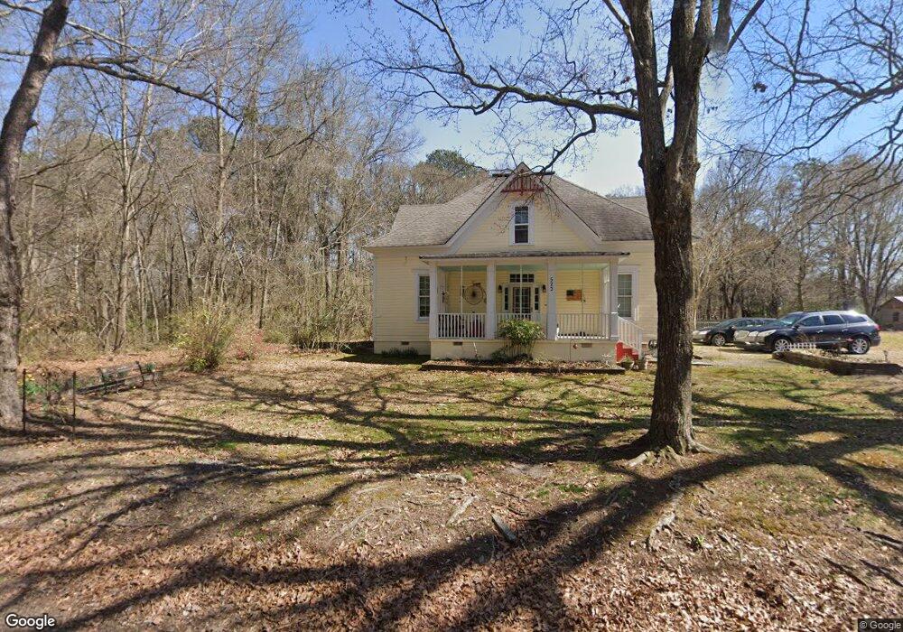
523 North Ave Villa Rica, GA 30180
Estimated Value: $334,000 - $388,000
4
Beds
2
Baths
2,711
Sq Ft
$138/Sq Ft
Est. Value
About This Home
This home is located at 523 North Ave, Villa Rica, GA 30180 and is currently estimated at $373,063, approximately $137 per square foot. 523 North Ave is a home located in Carroll County with nearby schools including Glanton-Hindsman Elementary School, Villa Rica Middle School, and Villa Rica High School.
Ownership History
Date
Name
Owned For
Owner Type
Purchase Details
Closed on
Aug 21, 2020
Sold by
Rutledge Randall M
Bought by
Willis Amie M
Current Estimated Value
Home Financials for this Owner
Home Financials are based on the most recent Mortgage that was taken out on this home.
Original Mortgage
$228,000
Outstanding Balance
$202,252
Interest Rate
3%
Mortgage Type
New Conventional
Estimated Equity
$170,811
Purchase Details
Closed on
May 3, 2018
Sold by
Gray
Bought by
Rutldege Randall
Purchase Details
Closed on
Jul 26, 2004
Sold by
Rutledge Brenda G
Bought by
Gray Brenda G and Gray Walter D
Purchase Details
Closed on
Oct 11, 1991
Bought by
Rutledge Brenda G
Purchase Details
Closed on
Sep 30, 1990
Bought by
Meador
Create a Home Valuation Report for This Property
The Home Valuation Report is an in-depth analysis detailing your home's value as well as a comparison with similar homes in the area
Home Values in the Area
Average Home Value in this Area
Purchase History
| Date | Buyer | Sale Price | Title Company |
|---|---|---|---|
| Willis Amie M | $240,000 | -- | |
| Rutldege Randall | -- | -- | |
| Gray Brenda G | -- | -- | |
| Rutledge Brenda G | $54,000 | -- | |
| Meador | $15,000 | -- |
Source: Public Records
Mortgage History
| Date | Status | Borrower | Loan Amount |
|---|---|---|---|
| Open | Willis Amie M | $228,000 |
Source: Public Records
Tax History Compared to Growth
Tax History
| Year | Tax Paid | Tax Assessment Tax Assessment Total Assessment is a certain percentage of the fair market value that is determined by local assessors to be the total taxable value of land and additions on the property. | Land | Improvement |
|---|---|---|---|---|
| 2024 | $3,927 | $156,125 | $32,367 | $123,758 |
| 2023 | $4,086 | $145,834 | $32,368 | $113,466 |
| 2022 | $3,298 | $112,670 | $21,578 | $91,092 |
| 2021 | $2,936 | $95,296 | $15,984 | $79,312 |
| 2020 | $2,747 | $86,054 | $15,984 | $70,070 |
| 2019 | $2,562 | $81,037 | $15,984 | $65,053 |
| 2018 | $2,418 | $74,815 | $15,984 | $58,831 |
| 2017 | $735 | $68,940 | $6,000 | $62,940 |
| 2016 | $297 | $68,940 | $6,000 | $62,940 |
| 2015 | $1,175 | $38,584 | $6,000 | $32,584 |
| 2014 | $1,184 | $38,584 | $6,000 | $32,584 |
Source: Public Records
Map
Nearby Homes
- 224 Crest Creek Way
- 413 Dallas Hwy
- 511 Reid St
- 506 Northside Place
- 0 Mccurdy Rd Unit 10415773
- 515 Vandenburg Dr
- 518 Vandenburg Dr
- 212 Rockmart Rd
- 318 N Dogwood St
- 25 Stoneway Dr
- 162 Parkway Cir
- 915 Sundown Point
- 913 Sundown Point
- 208 N North Dogwood St
- 208 N Dogwood St
- 113 W Gordon St
- 0 White St
- 626 Rockmart Rd
- 511 Punkintown Rd
- 519 North Ave
- 527 North Ave
- 524 North Ave
- 527 N N
- 507 Northstar Dr
- 916 Jackson Oak Place Unit 43
- 915 Jackson Oak Place Unit 46
- 906 Jackson Oak Place Unit 39
- 914 Jackson Oak Place Unit 42
- 235 Crest Creek Way
- 225 Crest Creek Way
- 215 Crest Creek Way
- 530 North Ave
- 442 Northside Dr
- 514 North Ave
- 0 North Ave Unit 8440673
- 0 North Ave Unit 8116900
- 0 North Ave Unit 8657553
- 0 North Ave Unit 8504733
- 0 North Ave Unit 2934120