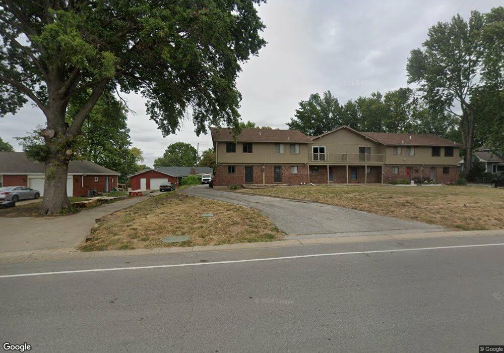
523 NW Duncan Rd Unit F Blue Springs, MO 64014
Estimated Value: $152,821 - $194,000
2
Beds
1
Bath
1,292
Sq Ft
$141/Sq Ft
Est. Value
About This Home
This home is located at 523 NW Duncan Rd Unit F, Blue Springs, MO 64014 and is currently estimated at $182,205, approximately $141 per square foot. 523 NW Duncan Rd Unit F is a home located in Jackson County with nearby schools including Lucy Franklin Elementary School, Brittany Hill Middle School, and Blue Springs High School.
Ownership History
Date
Name
Owned For
Owner Type
Purchase Details
Closed on
Oct 12, 2009
Sold by
Joshuas Journey Llc
Bought by
Garris Nancy A
Current Estimated Value
Purchase Details
Closed on
Aug 24, 2000
Sold by
Beardsley Nancy A and Harlan Steven
Bought by
Joshuas Journey Llc
Purchase Details
Closed on
Jul 2, 1997
Sold by
Roberts Michael R and Roberts Barbara L
Bought by
Beardsley Nancy A and Hardy Patricia K
Home Financials for this Owner
Home Financials are based on the most recent Mortgage that was taken out on this home.
Original Mortgage
$15,000
Interest Rate
7.92%
Create a Home Valuation Report for This Property
The Home Valuation Report is an in-depth analysis detailing your home's value as well as a comparison with similar homes in the area
Home Values in the Area
Average Home Value in this Area
Purchase History
| Date | Buyer | Sale Price | Title Company |
|---|---|---|---|
| Garris Nancy A | -- | None Available | |
| Joshuas Journey Llc | -- | -- | |
| Beardsley Nancy A | -- | -- |
Source: Public Records
Mortgage History
| Date | Status | Borrower | Loan Amount |
|---|---|---|---|
| Previous Owner | Beardsley Nancy A | $15,000 |
Source: Public Records
Tax History Compared to Growth
Tax History
| Year | Tax Paid | Tax Assessment Tax Assessment Total Assessment is a certain percentage of the fair market value that is determined by local assessors to be the total taxable value of land and additions on the property. | Land | Improvement |
|---|---|---|---|---|
| 2025 | $1,395 | $11,307 | $893 | $10,414 |
| 2024 | $1,368 | $17,100 | $806 | $16,294 |
| 2023 | $1,368 | $17,100 | $3,593 | $13,507 |
| 2022 | $774 | $8,550 | $646 | $7,904 |
| 2021 | $773 | $8,550 | $646 | $7,904 |
| 2020 | $669 | $7,518 | $646 | $6,872 |
| 2019 | $646 | $7,518 | $646 | $6,872 |
| 2018 | $899,545 | $6,835 | $646 | $6,189 |
| 2017 | $600 | $6,835 | $646 | $6,189 |
| 2016 | $600 | $6,734 | $646 | $6,088 |
| 2014 | $873 | $9,766 | $646 | $9,120 |
Source: Public Records
Map
Nearby Homes
- 516 NW Brett Cir
- 2105 NW 5th St
- 1912 NW Manor Dr
- 280 NW Beau Dr
- 204 NW Golfview Dr
- 912 NW Forest Dr
- 1000 NW Forest Dr
- 1504 NW Weatherstone Dr
- 409 NW Locust Dr
- 2323 NW Acorn Dr
- 2100 NW 12th St
- 2100 NW Parker Ct
- 1601 NW Weatherstone Ct
- 0 NW Jefferson St
- 105 NE Leann Dr
- 2400 NW 1st St
- 311 NE Bridge Place
- 1200 NE Hilltop Dr
- 1201 NW Burr Oak Ct
- 904 NW Oakridge Dr
- 523 NW Duncan Rd Unit B
- 523 NW Duncan Rd Unit C
- 523 NW Duncan Rd Unit D
- 523 NW Duncan Rd Unit E
- 523 NW Duncan Rd Unit A
- 521 NW Duncan Rd
- 525 NW Duncan Rd
- 508 NW Brock Cir
- 512 NW Brock Cir
- 504 NW Brock Cir
- 516 NW Brock Cir
- 1725 NW 6th St
- 520 NW Brock Cir
- 469 NW Duncan Rd
- 524 NW Brock Cir
- 500 NW Brock Cir
- 1721 NW 6th St
- 1804 NW 6th Terrace
- 505 NW Brock Cir
- 1706 NW 6th St