Estimated Value: $207,157 - $224,000
3
Beds
2
Baths
1,481
Sq Ft
$145/Sq Ft
Est. Value
About This Home
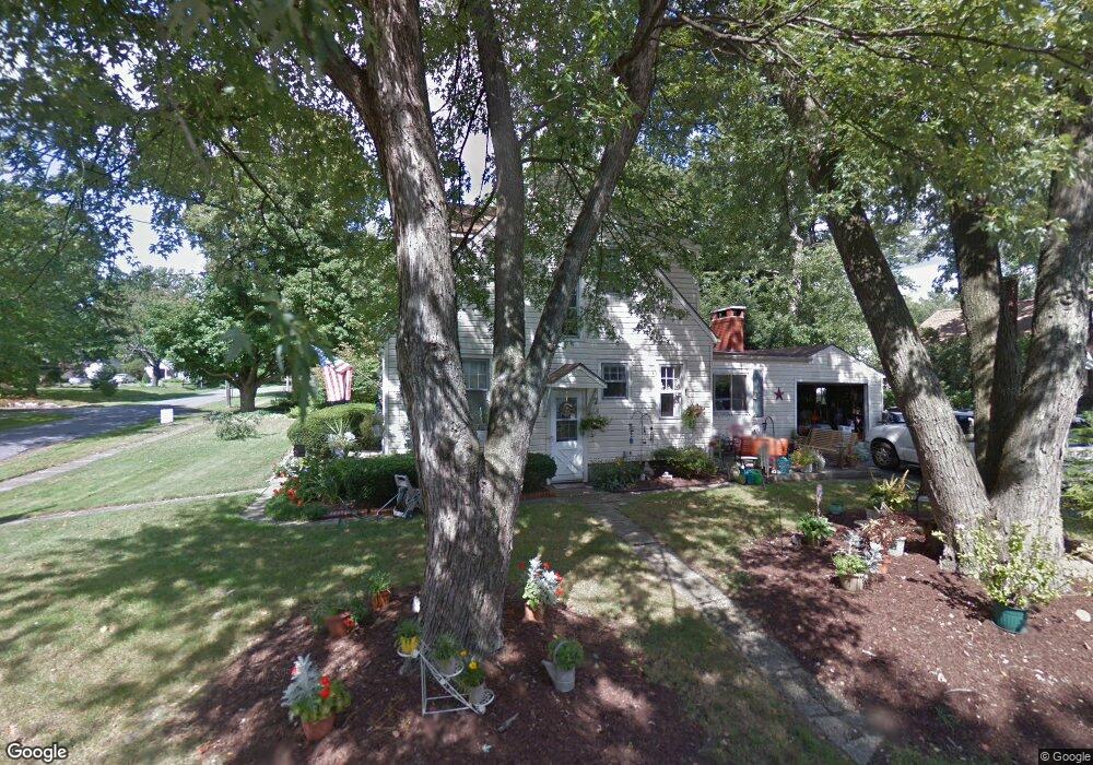
This home is located at 523 Roosevelt St, Kent, OH 44240 and is currently estimated at $214,039, approximately $144 per square foot. 523 Roosevelt St is a home located in Portage County with nearby schools including Longcoy Elementary School, Stanton Middle School, and Theodore Roosevelt High School.
Ownership History
Date
Name
Owned For
Owner Type
Purchase Details
Closed on
Nov 22, 2019
Sold by
Darrah Virginia and Darrah Dean
Bought by
Darrah Dean and Darrah Virginia
Current Estimated Value
Home Financials for this Owner
Home Financials are based on the most recent Mortgage that was taken out on this home.
Original Mortgage
$116,000
Outstanding Balance
$78,131
Interest Rate
3.6%
Mortgage Type
New Conventional
Estimated Equity
$135,908
Purchase Details
Closed on
Jul 11, 1989
Bought by
Harrell Virginia H
Create a Home Valuation Report for This Property
The Home Valuation Report is an in-depth analysis detailing your home's value as well as a comparison with similar homes in the area
Home Values in the Area
Average Home Value in this Area
Purchase History
| Date | Buyer | Sale Price | Title Company |
|---|---|---|---|
| Darrah Dean | -- | Multiple | |
| Harrell Virginia H | $64,000 | -- |
Source: Public Records
Mortgage History
| Date | Status | Borrower | Loan Amount |
|---|---|---|---|
| Open | Darrah Dean | $116,000 |
Source: Public Records
Tax History
| Year | Tax Paid | Tax Assessment Tax Assessment Total Assessment is a certain percentage of the fair market value that is determined by local assessors to be the total taxable value of land and additions on the property. | Land | Improvement |
|---|---|---|---|---|
| 2024 | $2,578 | $57,510 | $7,350 | $50,160 |
| 2023 | $2,686 | $48,650 | $7,350 | $41,300 |
| 2022 | $2,684 | $48,650 | $7,350 | $41,300 |
| 2021 | $2,690 | $48,650 | $7,350 | $41,300 |
| 2020 | $2,469 | $39,870 | $7,350 | $32,520 |
| 2019 | $2,469 | $39,870 | $7,350 | $32,520 |
| 2018 | $2,216 | $33,110 | $7,350 | $25,760 |
| 2017 | $2,216 | $33,110 | $7,350 | $25,760 |
| 2016 | $2,211 | $33,110 | $7,350 | $25,760 |
| 2015 | $2,212 | $33,110 | $7,350 | $25,760 |
| 2014 | $2,249 | $33,110 | $7,350 | $25,760 |
| 2013 | $2,232 | $33,110 | $7,350 | $25,760 |
Source: Public Records
Map
Nearby Homes
- 511 Suzanne Dr
- 850 Marilyn Dr
- 601 Silver Meadows Blvd
- 1302 Carol Dr
- 1204 Franklin Ave
- 146 W Elm St
- 0 Middlebury Rd
- 529 Rockwell St
- 4363 Ohio 43
- 2973 Mourning Dove Cir
- 0 S Water St
- 976 Kevin Dr
- 207 E School St
- 1005 Vine St
- 211 Mckinney Blvd
- 1430 Sunset Way Blvd
- 326 Pleasant Ave
- 2721 Santa Anita Dr
- 2738 Stockman Ct
- 1236 Cedar Ridge Rd
- 1035 Norwood St
- 515 Roosevelt St
- 533 Roosevelt St
- 1027 Norwood St
- 509 Roosevelt St
- 1032 Norwood St
- 1034 Meredith St
- 520 Roosevelt St
- 1023 Norwood St
- 1042 Meredith St
- 547 Roosevelt St
- 512 Roosevelt St
- 532 Roosevelt St
- 1030 Meredith St
- 1026 Norwood St
- 508 Roosevelt St
- 540 Roosevelt St
- 1043 Gardenview St
- 1015 Norwood St
- 1018 Norwood St