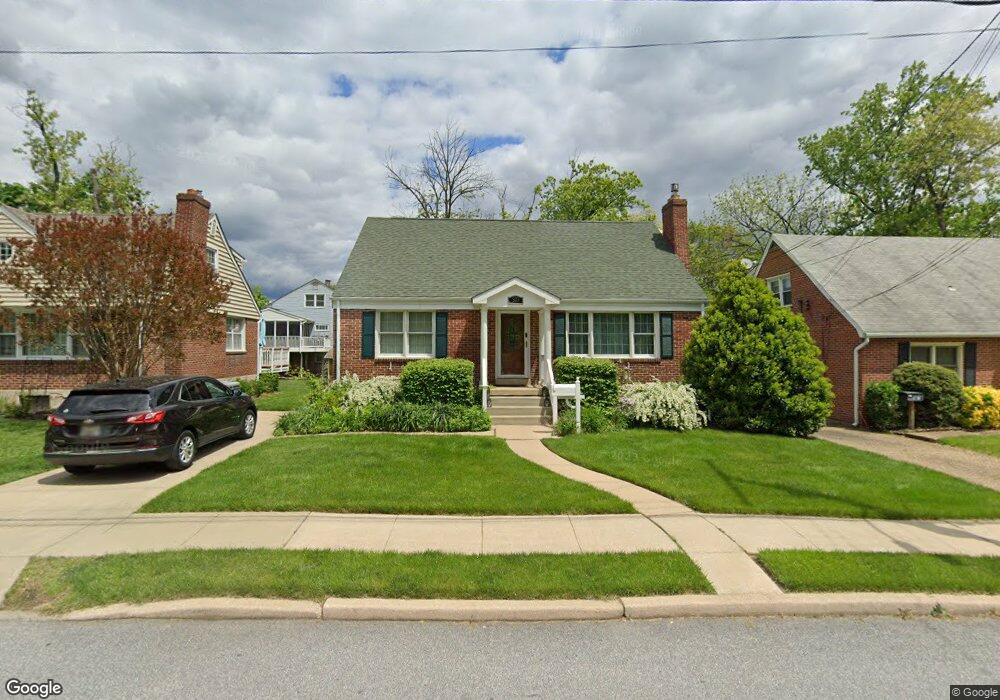
523 S Rolling Rd Catonsville, MD 21228
Estimated Value: $422,293 - $513,000
Studio
3
Baths
1,512
Sq Ft
$312/Sq Ft
Est. Value
About This Home
This home is located at 523 S Rolling Rd, Catonsville, MD 21228 and is currently estimated at $471,323, approximately $311 per square foot. 523 S Rolling Rd is a home located in Baltimore County with nearby schools including Hillcrest Elementary School, Catonsville Middle School, and Catonsville High School.
Ownership History
Date
Name
Owned For
Owner Type
Purchase Details
Closed on
Feb 5, 2014
Sold by
Regan Patricia S
Bought by
Regan Patricia S and Doyle Anthony E
Current Estimated Value
Home Financials for this Owner
Home Financials are based on the most recent Mortgage that was taken out on this home.
Original Mortgage
$113,000
Outstanding Balance
$32,795
Interest Rate
4.5%
Mortgage Type
New Conventional
Estimated Equity
$438,528
Purchase Details
Closed on
Apr 4, 1989
Sold by
Mueller Marilyn R
Bought by
Regan Patricia S
Create a Home Valuation Report for This Property
The Home Valuation Report is an in-depth analysis detailing your home's value as well as a comparison with similar homes in the area
Home Values in the Area
Average Home Value in this Area
Purchase History
| Date | Buyer | Sale Price | Title Company |
|---|---|---|---|
| Regan Patricia S | -- | Maryland Title Works Unlimit | |
| Regan Patricia S | $114,000 | -- |
Source: Public Records
Mortgage History
| Date | Status | Borrower | Loan Amount |
|---|---|---|---|
| Open | Regan Patricia S | $113,000 |
Source: Public Records
Tax History
| Year | Tax Paid | Tax Assessment Tax Assessment Total Assessment is a certain percentage of the fair market value that is determined by local assessors to be the total taxable value of land and additions on the property. | Land | Improvement |
|---|---|---|---|---|
| 2025 | $4,403 | $338,600 | -- | -- |
| 2024 | $4,403 | $303,900 | $120,200 | $183,700 |
| 2023 | $2,152 | $298,767 | $0 | $0 |
| 2022 | $4,465 | $293,633 | $0 | $0 |
| 2021 | $4,042 | $288,500 | $120,200 | $168,300 |
| 2020 | $4,042 | $287,633 | $0 | $0 |
| 2019 | $4,026 | $286,767 | $0 | $0 |
| 2018 | $3,803 | $285,900 | $99,200 | $186,700 |
| 2017 | $3,744 | $283,967 | $0 | $0 |
| 2016 | $3,140 | $282,033 | $0 | $0 |
| 2015 | $3,140 | $280,100 | $0 | $0 |
| 2014 | $3,140 | $280,100 | $0 | $0 |
Source: Public Records
Map
Nearby Homes
- 535 Forest Ln
- 521 S Rolling Rd
- 533 Forest Ln
- 519 S Rolling Rd
- 531 Forest Ln
- 526 Forest Ln
- 434 Bloomsbury Ave
- 432 Bloomsbury Ave
- 544 S Rolling Rd
- 522 Forest Ln
- 524 Forest Ln
- 301 Reserve Ct
- 529 Forest Ln
- 517 S Rolling Rd
- 438 Bloomsbury Ave
- 550 S Rolling Rd
- 527 Forest Ln
- 430 Bloomsbury Ave
- 552 S Rolling Rd
- 428 Montemar Avenue D
Your Personal Tour Guide
Ask me questions while you tour the home.