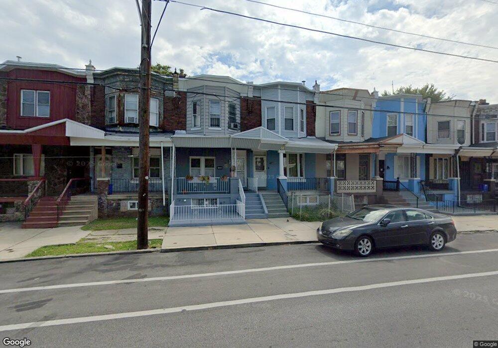
5230 Kingsessing Ave Philadelphia, PA 19143
Southwest Schuylkill NeighborhoodEstimated Value: $169,747 - $229,000
3
Beds
1
Bath
1,424
Sq Ft
$140/Sq Ft
Est. Value
About This Home
This home is located at 5230 Kingsessing Ave, Philadelphia, PA 19143 and is currently estimated at $198,687, approximately $139 per square foot. 5230 Kingsessing Ave is a home located in Philadelphia County with nearby schools including Benjamin B. Comegys School, John Bartram High School, and Independence Charter School West.
Ownership History
Date
Name
Owned For
Owner Type
Purchase Details
Closed on
Mar 29, 2002
Sold by
Coleman Linda A and Warner Linda A
Bought by
Coleman Randolph T
Current Estimated Value
Home Financials for this Owner
Home Financials are based on the most recent Mortgage that was taken out on this home.
Original Mortgage
$20,000
Interest Rate
6.85%
Create a Home Valuation Report for This Property
The Home Valuation Report is an in-depth analysis detailing your home's value as well as a comparison with similar homes in the area
Home Values in the Area
Average Home Value in this Area
Purchase History
| Date | Buyer | Sale Price | Title Company |
|---|---|---|---|
| Coleman Randolph T | $25,000 | -- |
Source: Public Records
Mortgage History
| Date | Status | Borrower | Loan Amount |
|---|---|---|---|
| Closed | Coleman Randolph T | $20,000 |
Source: Public Records
Tax History Compared to Growth
Tax History
| Year | Tax Paid | Tax Assessment Tax Assessment Total Assessment is a certain percentage of the fair market value that is determined by local assessors to be the total taxable value of land and additions on the property. | Land | Improvement |
|---|---|---|---|---|
| 2025 | $1,036 | $138,600 | $27,720 | $110,880 |
| 2024 | $1,036 | $138,600 | $27,720 | $110,880 |
| 2023 | $1,036 | $74,000 | $14,800 | $59,200 |
| 2022 | $266 | $29,000 | $14,800 | $14,200 |
| 2021 | $896 | $0 | $0 | $0 |
| 2020 | $896 | $0 | $0 | $0 |
| 2019 | $827 | $0 | $0 | $0 |
| 2018 | $726 | $0 | $0 | $0 |
| 2017 | $726 | $0 | $0 | $0 |
| 2016 | $307 | $0 | $0 | $0 |
| 2015 | $261 | $0 | $0 | $0 |
| 2014 | -- | $49,500 | $4,812 | $44,688 |
| 2012 | -- | $6,400 | $1,499 | $4,901 |
Source: Public Records
Map
Nearby Homes
- 1206 S Wilton St
- 1354 S Wilton St
- 1410 S 52nd St
- 1414 S 52nd St
- 1345 S Wilton St
- 1337 S Lindenwood St
- 1420 S 52nd St
- 1426 S 52nd St
- 1329 S Lindenwood St
- 1320 S Wilton St
- 5321 Reinhard St
- 1313 S Lindenwood St
- 5326 Kingsessing Ave
- 5321 Upland St
- 1453 S 52nd St
- 1341 S Lindenwood St
- 1325 S Lindenwood St
- 5314 Upland St
- 1309 S 52nd St
- 5330 Upland St
- 5228 Kingsessing Ave
- 5232 Kingsessing Ave
- 5234 Kingsessing Ave
- 5226 Kingsessing Ave
- 5236 Kingsessing Ave
- 5224 Kingsessing Ave
- 5222 Kingsessing Ave
- 5238 Kingsessing Ave
- 5233 Reinhard St
- 5231 Reinhard St
- 5229 Reinhard St
- 5220 Kingsessing Ave
- 5240 Kingsessing Ave
- 5237 Reinhard St
- 5235 Reinhard St
- 5227 Reinhard St
- 5239 Reinhard St
- 5225 Reinhard St
- 5218 Kingsessing Ave
- 5242 Kingsessing Ave