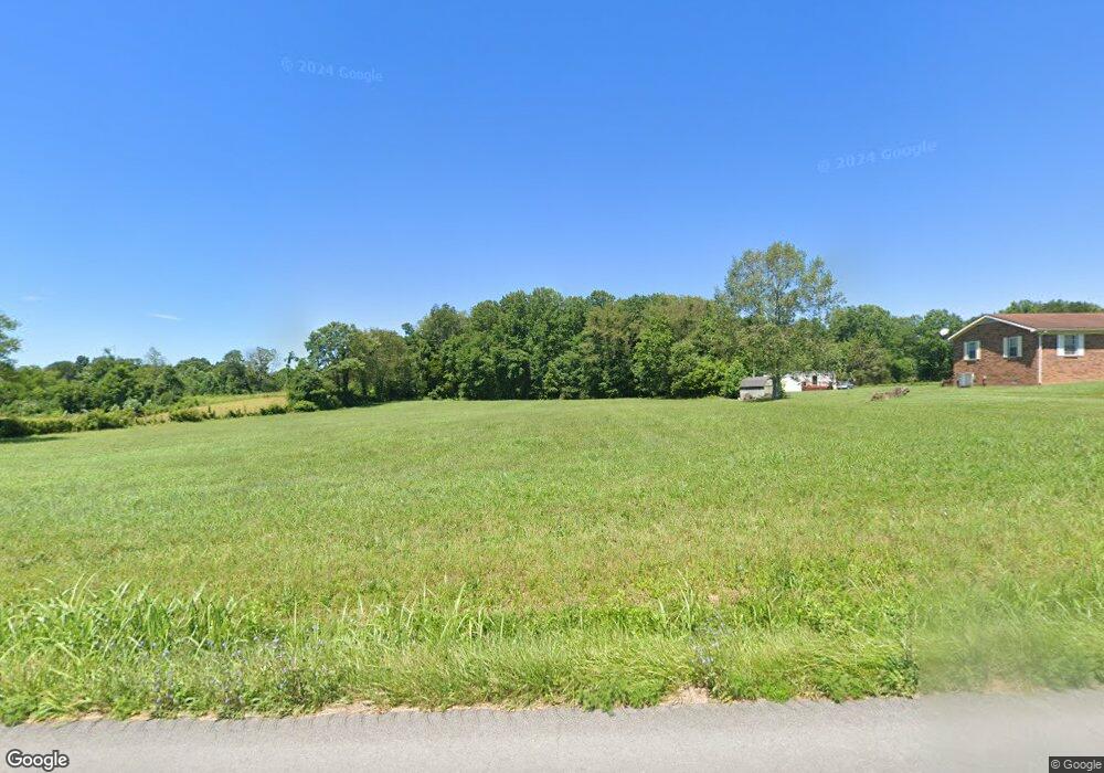
5231 E Highway 619 Russell Springs, KY 42642
Estimated Value: $185,000 - $419,000
4
Beds
2
Baths
1,732
Sq Ft
$174/Sq Ft
Est. Value
About This Home
This home is located at 5231 E Highway 619, Russell Springs, KY 42642 and is currently estimated at $300,764, approximately $173 per square foot. 5231 E Highway 619 is a home located in Russell County with nearby schools including Russell County High School.
Ownership History
Date
Name
Owned For
Owner Type
Purchase Details
Closed on
Aug 5, 2024
Sold by
West Eric and West Sherri
Bought by
Asberry Clinton L
Current Estimated Value
Purchase Details
Closed on
Jun 16, 2023
Sold by
Wilson Brenda Sue and Terry Wayne
Bought by
Miller Alex L and Miller Nucezia Nicole
Home Financials for this Owner
Home Financials are based on the most recent Mortgage that was taken out on this home.
Original Mortgage
$225,000
Interest Rate
6.35%
Mortgage Type
Construction
Create a Home Valuation Report for This Property
The Home Valuation Report is an in-depth analysis detailing your home's value as well as a comparison with similar homes in the area
Home Values in the Area
Average Home Value in this Area
Purchase History
| Date | Buyer | Sale Price | Title Company |
|---|---|---|---|
| Asberry Clinton L | $67,000 | None Listed On Document | |
| Miller Alex L | $70,000 | None Listed On Document | |
| Miller Alex L | $70,000 | None Listed On Document |
Source: Public Records
Mortgage History
| Date | Status | Borrower | Loan Amount |
|---|---|---|---|
| Previous Owner | Miller Alex L | $225,000 |
Source: Public Records
Tax History Compared to Growth
Tax History
| Year | Tax Paid | Tax Assessment Tax Assessment Total Assessment is a certain percentage of the fair market value that is determined by local assessors to be the total taxable value of land and additions on the property. | Land | Improvement |
|---|---|---|---|---|
| 2025 | $821 | $137,600 | $0 | $0 |
| 2024 | $864 | $137,600 | $0 | $0 |
| 2023 | $690 | $117,600 | $0 | $0 |
| 2022 | $750 | $117,600 | $0 | $0 |
| 2021 | $768 | $117,600 | $0 | $0 |
| 2020 | $782 | $117,600 | $0 | $0 |
| 2019 | $782 | $117,600 | $0 | $0 |
| 2018 | $794 | $117,600 | $0 | $0 |
| 2017 | $789 | $117,600 | $0 | $0 |
| 2016 | $778 | $117,605 | $0 | $0 |
| 2015 | -- | $117,600 | $0 | $0 |
| 2013 | -- | $200,000 | $0 | $0 |
Source: Public Records
Map
Nearby Homes
- 5764 Kentucky 619
- Lot 7 & 8 Whittle Ln
- 11 Cole Rd
- 222 Stephens Point Rd
- 120 Ivy Dr
- 120 Cole Rd
- 216 Walker Bernard Ln
- 147 Walker Bernard Ln
- 412 Murphy Ln
- 273 Rosin Ridge Rd
- Tract 4-5 Clayton Rd
- 236 Dockery Rd
- 229 Dockery Rd
- 297 Dockery Rd
- 292 Dockery Rd
- 264 Dockery Rd
- 8 Heritage Trace Subdivision
- Lot 92 Cascade Cir
- Lot #106 Parks Ridge Sub
- 444 Sparks Ave
- 5285 E Highway 619
- 5465 E Highway 619
- 5076 E Highway 619
- 5119 Kentucky 619
- 5561 E Highway 619
- 5764 E Highway 619
- 5741 E Highway 619
- 5741 E Highway 619
- 405 Country View Rd
- 200 Billy Stephens Rd
- 5210 E Highway 619
- 4973 E Highway 619
- 87 Country View Rd
- 676 Country View Rd
- 515 Country View Rd
- 127 Country View Rd
- 685 Country View Rd
- 326 Country View Rd
- 664 Country View Rd
- 163 Country View Rd
