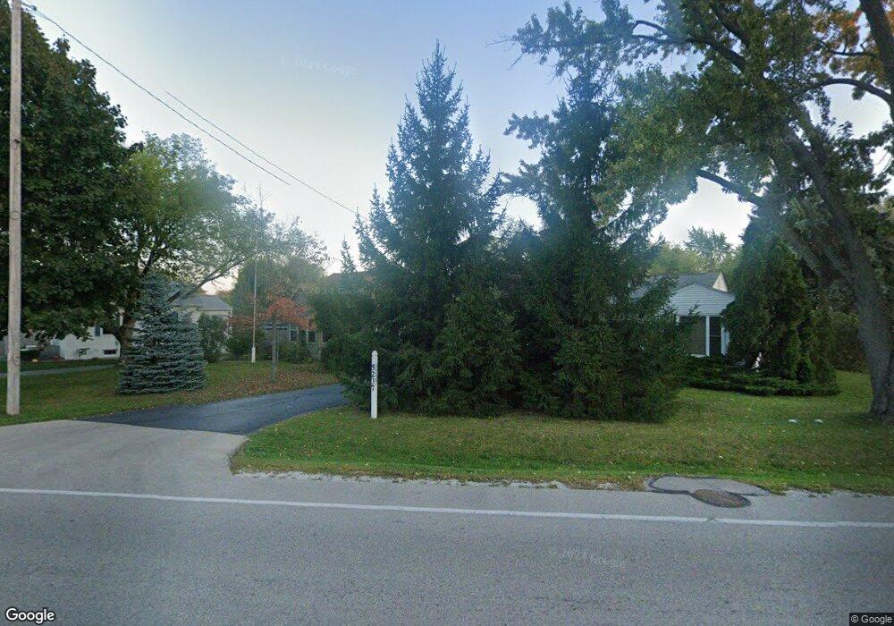
5231 Taylor Ave Mount Pleasant, WI 53403
Estimated Value: $273,748 - $309,000
3
Beds
1
Bath
858
Sq Ft
$341/Sq Ft
Est. Value
About This Home
This home is located at 5231 Taylor Ave, Mount Pleasant, WI 53403 and is currently estimated at $292,437, approximately $340 per square foot. 5231 Taylor Ave is a home located in Racine County with nearby schools including Schulte Elementary School, Mitchell Middle School, and Case High School.
Ownership History
Date
Name
Owned For
Owner Type
Purchase Details
Closed on
Jul 10, 2013
Sold by
Visser Randall J and Visser Sabrina G
Bought by
Benner Craig A
Current Estimated Value
Home Financials for this Owner
Home Financials are based on the most recent Mortgage that was taken out on this home.
Original Mortgage
$116,844
Outstanding Balance
$84,503
Interest Rate
4.25%
Mortgage Type
FHA
Estimated Equity
$207,934
Create a Home Valuation Report for This Property
The Home Valuation Report is an in-depth analysis detailing your home's value as well as a comparison with similar homes in the area
Home Values in the Area
Average Home Value in this Area
Purchase History
| Date | Buyer | Sale Price | Title Company |
|---|---|---|---|
| Benner Craig A | $119,000 | Knight Barry Title Inc |
Source: Public Records
Mortgage History
| Date | Status | Borrower | Loan Amount |
|---|---|---|---|
| Open | Benner Craig A | $116,844 |
Source: Public Records
Tax History
| Year | Tax Paid | Tax Assessment Tax Assessment Total Assessment is a certain percentage of the fair market value that is determined by local assessors to be the total taxable value of land and additions on the property. | Land | Improvement |
|---|---|---|---|---|
| 2025 | $3,421 | $224,400 | $68,600 | $155,800 |
| 2024 | $3,180 | $209,200 | $68,600 | $140,600 |
| 2023 | $3,030 | $196,200 | $64,000 | $132,200 |
| 2022 | $2,930 | $186,600 | $64,000 | $122,600 |
| 2021 | $2,987 | $170,300 | $58,200 | $112,100 |
| 2020 | $2,505 | $136,500 | $45,400 | $91,100 |
| 2019 | $2,342 | $136,500 | $45,400 | $91,100 |
| 2018 | $2,543 | $136,300 | $50,500 | $85,800 |
| 2017 | $2,581 | $134,400 | $50,500 | $83,900 |
| 2016 | $2,379 | $115,700 | $40,900 | $74,800 |
| 2015 | $2,299 | $115,700 | $40,900 | $74,800 |
| 2014 | $2,173 | $115,700 | $40,900 | $74,800 |
| 2013 | $2,331 | $115,700 | $40,900 | $74,800 |
Source: Public Records
Map
Nearby Homes
- 4937 W Knollwood Dr
- 4646 Chicory Rd
- 4620 Taylor Ave
- 4221 Taylor Harbor E Unit 8
- 4225 Taylor Harbor E Unit 4
- 5711 Alta Loma Ct
- 5432 Wakefield Ave
- 4309 Canterbury Ln
- 4301 Taylor Harbor E Unit 1
- 4508 Taylor Ave
- 3326 Monarch Dr
- 4300 Chekanoff Dr
- 3400 Kentucky St
- 6427 San Marino Dr
- 3323 Green Meadows Ln
- 4848 Yates Dr
- 4850 Yates Dr
- 4834 Yates Dr
- 4832 Yates Dr Unit 82
- 4832 Yates Dr
- 5237 Taylor Ave
- 5223 Taylor Ave
- 5307 Taylor Ave
- 4006 Southwood Dr
- 5213 Taylor Ave
- 4958 Saint Regis Dr
- 4018 Southwood Dr
- 3950 Southwood Dr
- 5329 Taylor Ave
- 4950 Saint Regis Dr
- 4028 Southwood Dr
- 5316 Taylor Ave
- 5238 Taylor Ave
- 4120 Trillium Ln
- 5207 Taylor Ave
- 4940 Saint Regis Dr
- 5332 Taylor Ave
- 5335 Taylor Ave
- 5210 Taylor Ave
- 4930 Saint Regis Dr
Your Personal Tour Guide
Ask me questions while you tour the home.