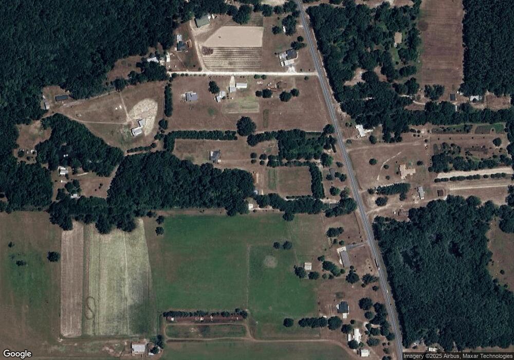
5233 Londa Thrift Rd MacClenny, FL 32063
Estimated Value: $218,056 - $419,000
--
Bed
2
Baths
1,238
Sq Ft
$233/Sq Ft
Est. Value
About This Home
This home is located at 5233 Londa Thrift Rd, MacClenny, FL 32063 and is currently estimated at $288,019, approximately $232 per square foot. 5233 Londa Thrift Rd is a home located in Baker County with nearby schools including MacClenny Elementary School, Keller Intermediate School, and Baker County Middle School.
Ownership History
Date
Name
Owned For
Owner Type
Purchase Details
Closed on
Jun 14, 2023
Sold by
Warner Marvin and Warner Kaye
Bought by
Starling Lillie E and Hodges Dale G
Current Estimated Value
Purchase Details
Closed on
Dec 19, 2011
Sold by
Board Of County Commissioners Of Baker C
Bought by
Warner Marvin and Warner Kaye
Purchase Details
Closed on
Mar 26, 2010
Sold by
Warner Marvin and Warner Kaye
Bought by
Hodges Loni K
Purchase Details
Closed on
Jun 22, 2004
Sold by
Starling Kristohpher and Starling Loni
Bought by
Warner Marvin
Create a Home Valuation Report for This Property
The Home Valuation Report is an in-depth analysis detailing your home's value as well as a comparison with similar homes in the area
Home Values in the Area
Average Home Value in this Area
Purchase History
| Date | Buyer | Sale Price | Title Company |
|---|---|---|---|
| Starling Lillie E | -- | None Listed On Document | |
| Warner Marvin | -- | None Available | |
| Hodges Loni K | -- | Attorney | |
| Warner Marvin | -- | -- |
Source: Public Records
Tax History Compared to Growth
Tax History
| Year | Tax Paid | Tax Assessment Tax Assessment Total Assessment is a certain percentage of the fair market value that is determined by local assessors to be the total taxable value of land and additions on the property. | Land | Improvement |
|---|---|---|---|---|
| 2024 | $633 | $70,676 | -- | -- |
| 2023 | $1,865 | $142,031 | $0 | $0 |
| 2022 | $1,814 | $133,056 | $0 | $0 |
| 2021 | $1,532 | $124,787 | $0 | $0 |
| 2020 | $1,467 | $119,968 | $0 | $0 |
| 2019 | $1,379 | $114,073 | $0 | $0 |
| 2018 | $1,353 | $183,104 | $0 | $0 |
| 2017 | $1,220 | $178,460 | $0 | $0 |
| 2016 | $1,214 | $164,158 | $0 | $0 |
| 2015 | $1,198 | $169,669 | $0 | $0 |
| 2014 | $1,198 | $112,841 | $0 | $0 |
Source: Public Records
Map
Nearby Homes
- 126 Flicker Ln
- 14041 Saddle Ridge Rd
- 323 St Marys River Bluff Rd
- 0000 St Mary's River Bluff Ltd
- 0 St Mary's River Bluff Ltd
- 7933 N Yellow Pine Cir
- 16021 Webb Haven Rd
- 0 Yellow Pine Cir N
- 7349 W Smooth Bore Ave
- 14394 Bob Burnsed Rd
- 7500 W Smooth Bore Ave
- 2857 Steel Bridge Rd
- LOT 9 Steel Bridge Rd
- 7667 Odis Yarborough Rd
- 13609 Bob Burnsed Rd
- LOT 8 Stokes Rd
- 14157 Glen Farms Dr
- 0 Oakridge Loop
- 7269 Oak Ridge Dr
- 12045 Sands Pointe Ct
- 14960 N State Road 121
- 5278 Eva Jones Rd
- 5226 Eva Jones Rd
- 0000 Eva Jones Rd
- 000 Eva Jones Rd
- 15015 Tanny Ln
- 15001 Florida 121
- 15001 N State Road 121
- 14854 N State Road 121
- 0 Tanny Ln Unit 931401
- 0 Tanny Ln
- 15110 N State Road 121
- 14770 N State Road 121
- 14937 N State Road 121
- 15154 N State Road 121
- 5341 Eva Jones Rd
- 15270 N State Road 121
- 14893 N State Road 121
- 5151 Grady Thomas Ln
- 14841 Tanny Ln
