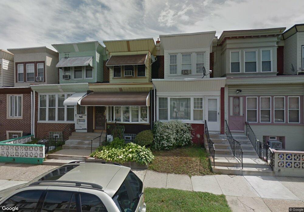
5233 N 6th St Philadelphia, PA 19120
Olney NeighborhoodEstimated Value: $162,000 - $187,000
3
Beds
1
Bath
1,350
Sq Ft
$130/Sq Ft
Est. Value
About This Home
This home is located at 5233 N 6th St, Philadelphia, PA 19120 and is currently estimated at $176,140, approximately $130 per square foot. 5233 N 6th St is a home located in Philadelphia County with nearby schools including Thurgood Marshall School, Birney Preparatory Academy, and Olney Charter High School.
Ownership History
Date
Name
Owned For
Owner Type
Purchase Details
Closed on
Aug 8, 2003
Sold by
Montanez Moises
Bought by
Jones Antonia
Current Estimated Value
Home Financials for this Owner
Home Financials are based on the most recent Mortgage that was taken out on this home.
Original Mortgage
$61,500
Interest Rate
6.31%
Mortgage Type
FHA
Purchase Details
Closed on
Jul 13, 1995
Sold by
Nieve Dieojene and Nieve Mary
Bought by
Montanez Moises
Create a Home Valuation Report for This Property
The Home Valuation Report is an in-depth analysis detailing your home's value as well as a comparison with similar homes in the area
Home Values in the Area
Average Home Value in this Area
Purchase History
| Date | Buyer | Sale Price | Title Company |
|---|---|---|---|
| Jones Antonia | $62,000 | -- | |
| Montanez Moises | $46,000 | -- |
Source: Public Records
Mortgage History
| Date | Status | Borrower | Loan Amount |
|---|---|---|---|
| Previous Owner | Jones Antonia | $61,500 |
Source: Public Records
Tax History Compared to Growth
Tax History
| Year | Tax Paid | Tax Assessment Tax Assessment Total Assessment is a certain percentage of the fair market value that is determined by local assessors to be the total taxable value of land and additions on the property. | Land | Improvement |
|---|---|---|---|---|
| 2025 | $1,802 | $167,200 | $33,440 | $133,760 |
| 2024 | $1,802 | $167,200 | $33,440 | $133,760 |
| 2023 | $1,802 | $128,700 | $25,740 | $102,960 |
| 2022 | $1,284 | $128,700 | $25,740 | $102,960 |
| 2021 | $1,284 | $0 | $0 | $0 |
| 2020 | $1,284 | $0 | $0 | $0 |
| 2019 | $1,193 | $0 | $0 | $0 |
| 2018 | $1,195 | $0 | $0 | $0 |
| 2017 | $1,195 | $0 | $0 | $0 |
| 2016 | $1,195 | $0 | $0 | $0 |
| 2015 | $1,144 | $0 | $0 | $0 |
| 2014 | -- | $85,400 | $10,684 | $74,716 |
| 2012 | -- | $10,848 | $1,675 | $9,173 |
Source: Public Records
Map
Nearby Homes
- 520 W Duncannon Ave
- 5149 N Fairhill St
- 5134 N Fairhill St
- 5237 N Franklin St
- 5245 N 5th St
- 5112 N Fairhill St
- 5111 N Fairhill St
- 426 W Fisher Ave
- 0 Lindley Ave
- 5221 N 8th St
- 740 W Fisher Ave
- 0 W Fisher Ave
- 5212 N 8th St
- 811 W Fisher Ave
- 429 W Ashdale St
- 515-17 W Ruscomb St
- 5010 N 5th St
- 819 Lindley Ave
- 909-913 R W Fisher Ave
- 313 Lindley Ave