5233 Rootstown Rd Ravenna, OH 44266
Estimated Value: $515,349 - $664,000
4
Beds
5
Baths
3,995
Sq Ft
$147/Sq Ft
Est. Value
About This Home
This home is located at 5233 Rootstown Rd, Ravenna, OH 44266 and is currently estimated at $586,337, approximately $146 per square foot. 5233 Rootstown Rd is a home located in Portage County with nearby schools including Rootstown Middle School - Schnee Building and Rootstown High School.
Ownership History
Date
Name
Owned For
Owner Type
Purchase Details
Closed on
Mar 10, 2005
Sold by
Beutel Mary B
Bought by
Jones Jack S and Jones Renee A
Current Estimated Value
Home Financials for this Owner
Home Financials are based on the most recent Mortgage that was taken out on this home.
Original Mortgage
$322,100
Interest Rate
5.67%
Mortgage Type
Purchase Money Mortgage
Purchase Details
Closed on
Nov 25, 2002
Sold by
Beutel Mary B
Bought by
Beutel Mary B and The Mary B Beutel Trust
Create a Home Valuation Report for This Property
The Home Valuation Report is an in-depth analysis detailing your home's value as well as a comparison with similar homes in the area
Purchase History
| Date | Buyer | Sale Price | Title Company |
|---|---|---|---|
| Jones Jack S | $379,000 | Guardian Title | |
| Beutel Mary B | -- | Bond & Associates Title Agen |
Source: Public Records
Mortgage History
| Date | Status | Borrower | Loan Amount |
|---|---|---|---|
| Closed | Jones Jack S | $322,100 |
Source: Public Records
Tax History
| Year | Tax Paid | Tax Assessment Tax Assessment Total Assessment is a certain percentage of the fair market value that is determined by local assessors to be the total taxable value of land and additions on the property. | Land | Improvement |
|---|---|---|---|---|
| 2025 | $7,900 | $192,720 | $19,710 | $173,010 |
| 2024 | $7,588 | $192,720 | $19,710 | $173,010 |
| 2023 | $6,067 | $137,590 | $16,590 | $121,000 |
| 2022 | $6,027 | $137,590 | $16,590 | $121,000 |
| 2021 | $6,059 | $137,590 | $16,590 | $121,000 |
| 2020 | $5,407 | $118,340 | $15,790 | $102,550 |
| 2019 | $5,425 | $118,340 | $15,790 | $102,550 |
| 2018 | $5,019 | $104,230 | $16,800 | $87,430 |
| 2017 | $5,019 | $104,230 | $16,800 | $87,430 |
| 2016 | $4,986 | $104,230 | $16,800 | $87,430 |
| 2015 | $5,043 | $104,230 | $16,800 | $87,430 |
| 2014 | $5,137 | $104,230 | $16,800 | $87,430 |
| 2013 | $5,102 | $104,230 | $16,800 | $87,430 |
Source: Public Records
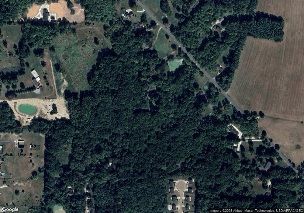
Map
Nearby Homes
- 5100 Misty Glen
- 2671 Wintergreen Ln
- 5242 Glen Park Dr
- 2326 Orchard Cir
- 2277 Orchard Cir
- 2978 Sandy Lake Rd
- 5201 Cline Rd Unit A
- 1997 Sugar Maple Dr
- 5271 Aspen Meadow Dr
- 4700 Gooseberry Knoll
- 4620 Briar Hill Dr
- 2092 Sugar Maple Dr
- 5704 Halwick Dr
- 3120 Shearwater Cir
- 3137 Shearwater Cir
- 3169 Waxwing Cir
- 3143 Shearwater Cir
- 4140 Sandy Lake Rd
- 1680 Countryview Dr
- 1676 Countryview Dr
- 5241 Rootstown Rd
- 5201 Rootstown Rd
- 5255 Rootstown Rd
- 2509 Meloy Rd
- 5105 Misty Glen Ln
- 5275 Rootstown Rd
- 5204 Rootstown Rd
- 5097 Misty Glen Ln
- 5096 Misty Glen Ln
- 5165 Rootstown Rd
- 5145 Rootstown Rd
- 5279 Rootstown Rd
- 5089 Misty Glen Ln
- 5088 Misty Glen Ln
- 5081 Misty Glen Ln
- 5073 Misty Glen
- 5168 Rootstown Rd
- 5230 Rootstown Rd
- 5080 Misty Glen Ln
- 5080 Misty Glen Ln
Your Personal Tour Guide
Ask me questions while you tour the home.