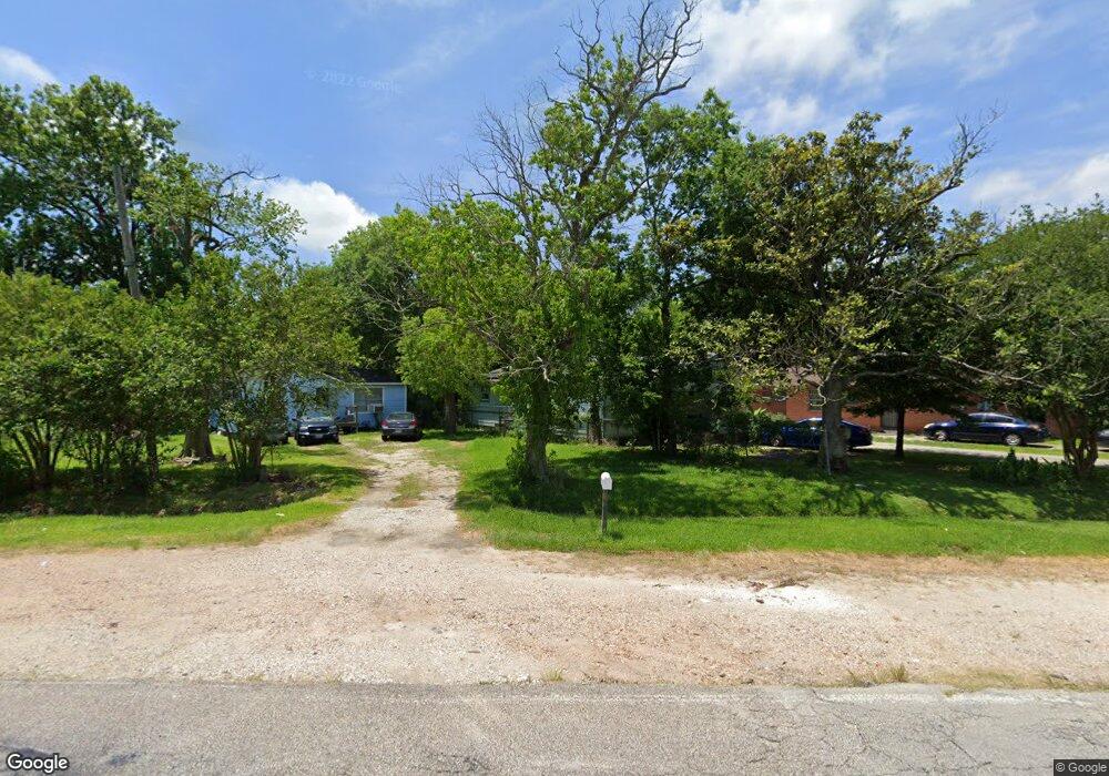
5234 Bennington St Houston, TX 77028
Trinity-Houston Gardens NeighborhoodEstimated Value: $165,122 - $206,000
3
Beds
1
Bath
1,312
Sq Ft
$143/Sq Ft
Est. Value
About This Home
This home is located at 5234 Bennington St, Houston, TX 77028 and is currently estimated at $187,031, approximately $142 per square foot. 5234 Bennington St is a home located in Harris County with nearby schools including Felix Cook Jr. Elementary School, Key Middle, and Kashmere High School.
Ownership History
Date
Name
Owned For
Owner Type
Purchase Details
Closed on
Jul 29, 2005
Sold by
Marks Roland
Bought by
Soto Raul G and Soto Yolanda P
Current Estimated Value
Purchase Details
Closed on
Jul 6, 2004
Sold by
Nickerson Claudia Yvonne
Bought by
Marks Roland and Marks Gilbert
Purchase Details
Closed on
Apr 28, 2002
Sold by
Hall Hazel M
Bought by
C S R Investments Llc
Create a Home Valuation Report for This Property
The Home Valuation Report is an in-depth analysis detailing your home's value as well as a comparison with similar homes in the area
Home Values in the Area
Average Home Value in this Area
Purchase History
| Date | Buyer | Sale Price | Title Company |
|---|---|---|---|
| Soto Raul G | -- | -- | |
| Marks Roland | $22,131 | -- | |
| C S R Investments Llc | -- | -- |
Source: Public Records
Mortgage History
| Date | Status | Borrower | Loan Amount |
|---|---|---|---|
| Closed | Soto Raul G | $0 |
Source: Public Records
Tax History Compared to Growth
Tax History
| Year | Tax Paid | Tax Assessment Tax Assessment Total Assessment is a certain percentage of the fair market value that is determined by local assessors to be the total taxable value of land and additions on the property. | Land | Improvement |
|---|---|---|---|---|
| 2025 | $1,995 | $155,307 | $72,090 | $83,217 |
| 2024 | $1,995 | $146,962 | $72,090 | $74,872 |
| 2023 | $1,995 | $136,659 | $72,090 | $64,569 |
| 2022 | $1,982 | $112,694 | $57,672 | $55,022 |
| 2021 | $1,907 | $103,225 | $36,045 | $67,180 |
| 2020 | $1,326 | $67,734 | $28,836 | $38,898 |
| 2019 | $1,260 | $54,372 | $19,464 | $34,908 |
| 2018 | $0 | $47,903 | $15,860 | $32,043 |
| 2017 | $1,040 | $47,903 | $15,860 | $32,043 |
| 2016 | $946 | $45,745 | $15,860 | $29,885 |
| 2015 | -- | $34,000 | $15,860 | $18,140 |
| 2014 | -- | $34,000 | $15,860 | $18,140 |
Source: Public Records
Map
Nearby Homes
- 0 Lynnfield St
- 00 Lynnfield St
- 6309 Sandra St
- 6307 Sandra St
- 6305 Sandra St Unit A/B
- 6713 Shotwell St
- 6112 Shotwell St
- 5420 Lynnfield St Unit A/B
- 6520 Hoffman St
- 7406 Hoffman St
- 6713 Hoffman St
- 5017 Baton Rouge St
- 6701 Mariosa St
- 6102 Shotwell St
- 0 Sandra Unit 10021624
- 6605 Lockwood Dr
- 5317 Caplin St
- 5409-5417 Carey St
- 4843 Shreveport Blvd
- 4811 Shreveport Blvd
- 5238 Bennington St
- 5222 Bennington St
- 5230 Bennington St
- 6414 Peachtree St
- 6512 Peachtree St
- 6514 Peachtree St
- 6412 Peachtree St
- 5301 Bennington St
- 5220 Bennington St
- 5220 Bennington St
- 5220 1/2 Bennington St
- 5220 Bennington St
- 6411 Sandra St
- 6402 Peachtree St
- 5218 Bennington St
- 6614 Sandra St
- 5307 Bennington St
- 5311 Bennington St
- 6318 Peachtree St
- 5212 Bennington St