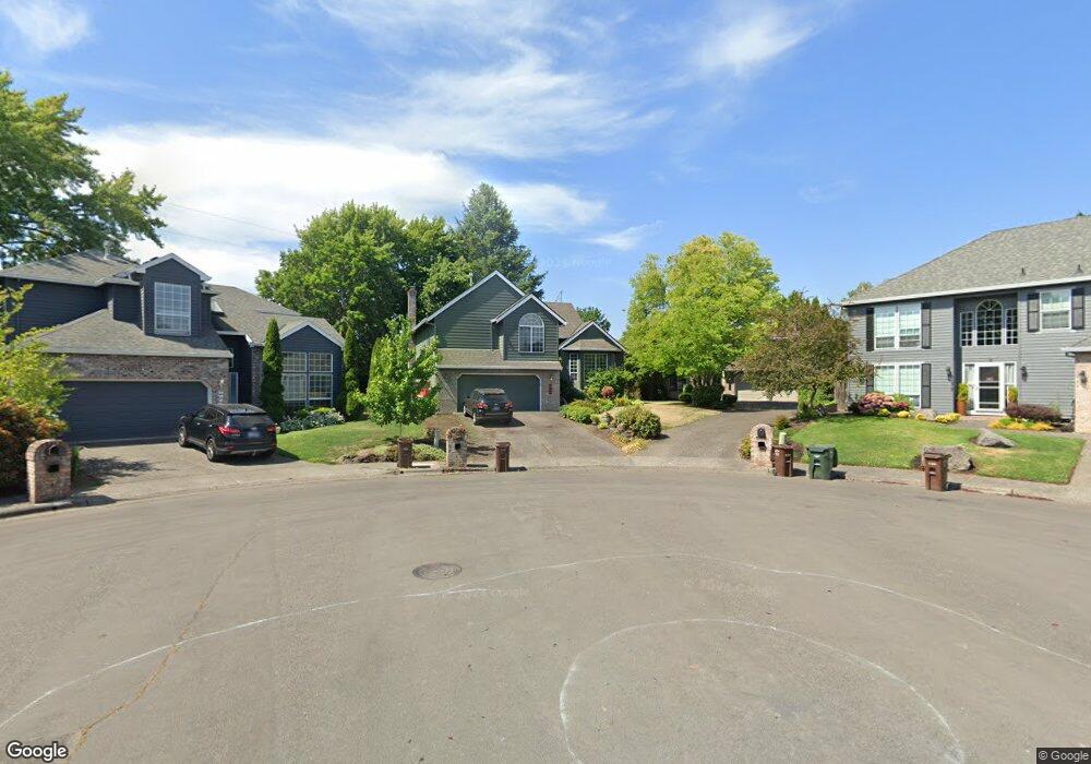
5235 NW Nichwana Ct Portland, OR 97229
West Union NeighborhoodEstimated Value: $628,750 - $683,000
3
Beds
3
Baths
2,100
Sq Ft
$312/Sq Ft
Est. Value
About This Home
This home is located at 5235 NW Nichwana Ct, Portland, OR 97229 and is currently estimated at $654,688, approximately $311 per square foot. 5235 NW Nichwana Ct is a home located in Washington County with nearby schools including Lenox Elementary School, J.W. Poynter Middle School, and Liberty High School.
Ownership History
Date
Name
Owned For
Owner Type
Purchase Details
Closed on
Jul 21, 2021
Sold by
Thompson Scott C and Thompson Kim
Bought by
Thompson Scott C and Thompson Kim
Current Estimated Value
Home Financials for this Owner
Home Financials are based on the most recent Mortgage that was taken out on this home.
Original Mortgage
$336,000
Outstanding Balance
$304,490
Interest Rate
2.96%
Mortgage Type
New Conventional
Estimated Equity
$350,198
Purchase Details
Closed on
May 12, 2006
Sold by
Hill Solomon Nancy H and Hill Solomon Brian Cameron
Bought by
Thompson Scott C and Thompson Kimberly B
Home Financials for this Owner
Home Financials are based on the most recent Mortgage that was taken out on this home.
Original Mortgage
$296,000
Interest Rate
6.47%
Mortgage Type
Negative Amortization
Purchase Details
Closed on
Mar 17, 2005
Sold by
Grant Kyle M and Grant Kimberlee
Bought by
Solomon Nancy H
Home Financials for this Owner
Home Financials are based on the most recent Mortgage that was taken out on this home.
Original Mortgage
$240,000
Interest Rate
5.37%
Mortgage Type
Unknown
Purchase Details
Closed on
Mar 16, 2005
Sold by
Solomon Nancy H
Bought by
Solomon Brian Cameron Hill
Home Financials for this Owner
Home Financials are based on the most recent Mortgage that was taken out on this home.
Original Mortgage
$240,000
Interest Rate
5.37%
Mortgage Type
Unknown
Purchase Details
Closed on
Jan 17, 2002
Sold by
Sternberg Deborah J and Ray Kenneth B
Bought by
Grant Kyle and Grant Kimberlee
Home Financials for this Owner
Home Financials are based on the most recent Mortgage that was taken out on this home.
Original Mortgage
$192,000
Interest Rate
8.25%
Purchase Details
Closed on
Jul 29, 1998
Sold by
Sternberg Deborah Joan
Bought by
Ray Kenneth B and Sternberg Deborah J
Home Financials for this Owner
Home Financials are based on the most recent Mortgage that was taken out on this home.
Original Mortgage
$155,000
Interest Rate
6.9%
Mortgage Type
Purchase Money Mortgage
Create a Home Valuation Report for This Property
The Home Valuation Report is an in-depth analysis detailing your home's value as well as a comparison with similar homes in the area
Home Values in the Area
Average Home Value in this Area
Purchase History
| Date | Buyer | Sale Price | Title Company |
|---|---|---|---|
| Thompson Scott C | -- | First American Title | |
| Thompson Scott C | $370,000 | Ticor Title Insurance Compan | |
| Solomon Nancy H | $300,000 | First American | |
| Solomon Brian Cameron Hill | -- | -- | |
| Grant Kyle | $240,000 | Fidelity National Title Co | |
| Ray Kenneth B | -- | Transnation Title Insurance |
Source: Public Records
Mortgage History
| Date | Status | Borrower | Loan Amount |
|---|---|---|---|
| Open | Thompson Scott C | $336,000 | |
| Closed | Thompson Scott C | $296,000 | |
| Previous Owner | Solomon Nancy H | $240,000 | |
| Previous Owner | Grant Kyle | $192,000 | |
| Previous Owner | Ray Kenneth B | $155,000 | |
| Closed | Grant Kyle | $48,000 | |
| Closed | Solomon Nancy H | $30,000 |
Source: Public Records
Tax History Compared to Growth
Tax History
| Year | Tax Paid | Tax Assessment Tax Assessment Total Assessment is a certain percentage of the fair market value that is determined by local assessors to be the total taxable value of land and additions on the property. | Land | Improvement |
|---|---|---|---|---|
| 2026 | $6,026 | $364,060 | -- | -- |
| 2025 | $6,026 | $353,460 | -- | -- |
| 2024 | $5,683 | $343,170 | -- | -- |
| 2023 | $5,683 | $333,180 | $0 | $0 |
| 2022 | $5,481 | $333,180 | $0 | $0 |
| 2021 | $5,377 | $314,060 | $0 | $0 |
| 2020 | $5,258 | $304,920 | $0 | $0 |
| 2019 | $5,105 | $296,040 | $0 | $0 |
| 2018 | $4,893 | $287,420 | $0 | $0 |
| 2017 | $4,710 | $279,050 | $0 | $0 |
| 2016 | $4,479 | $270,930 | $0 | $0 |
| 2015 | $4,321 | $263,040 | $0 | $0 |
| 2014 | $4,316 | $255,380 | $0 | $0 |
Source: Public Records
Map
Nearby Homes
- 5375 NW Edgebrook Place
- 4715 NW Kiwanda Dr
- 5344 NW Innisbrook Place
- 21415 NW Kenai Ct
- 19895 NW Nestucca Dr
- 20012 NW Metolius Dr
- 19535 NW Pondosa Ct
- 5150 NW Neakahnie Ave Unit 40
- 5180 NW Neakahnie Ave Unit 22
- 19305 NW Athena Place
- 4525 NW Columbia Ave
- 21223 NW Bendemeer Rd
- 21504 NW Bendemeer Rd
- 4795 NW Kahneeta Dr
- 4885 NW Kahneeta Dr
- 4755 NW Shaniko Ct
- 4905 NW Kahneeta Ct
- 17928 NW Layla Dr Unit Lot 17
- 17830 NW Deercreek Ct
- 17870 NW Layla Dr Unit Lot 19
- 5215 NW Nichwana Ct
- 5255 NW Nichwana Ct
- 5275 NW Nichwana Ct
- 5380 NW Pondosa Dr
- 5240 NW Nichwana Ct
- 5315 NW Nichwana Ct
- 5370 NW Pondosa Dr
- 5280 NW Nichwana Ct
- 5405 NW Pondosa Dr
- 5385 NW Pondosa Dr
- 20690 NW Yoncalla Ct
- 20640 NW Yoncalla Ct
- 20610 NW Yoncalla Ct
- 5425 NW Pondosa Dr
- 5365 NW Pondosa Dr
- 5350 NW Pondosa Dr
- 20570 NW Yoncalla Ct
- 20540 NW Yoncalla Ct
- 20836 NW Yoncalla Ct
- 5345 NW Pondosa Dr