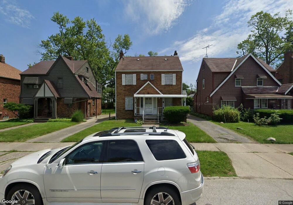
5235 Philip Ave Maple Heights, OH 44137
Estimated Value: $148,526 - $179,000
3
Beds
2
Baths
1,558
Sq Ft
$107/Sq Ft
Est. Value
About This Home
This home is located at 5235 Philip Ave, Maple Heights, OH 44137 and is currently estimated at $166,132, approximately $106 per square foot. 5235 Philip Ave is a home located in Cuyahoga County with nearby schools including Abraham Lincoln Elementary School, Rockside/ J.F. Kennedy School, and Barack Obama School.
Ownership History
Date
Name
Owned For
Owner Type
Purchase Details
Closed on
Jan 29, 2007
Sold by
Brown Angeline M and Haynesworth Angeline M
Bought by
Morgan Ericka and Barker Oscar
Current Estimated Value
Home Financials for this Owner
Home Financials are based on the most recent Mortgage that was taken out on this home.
Original Mortgage
$114,991
Outstanding Balance
$68,989
Interest Rate
6.19%
Mortgage Type
FHA
Estimated Equity
$97,143
Purchase Details
Closed on
May 24, 1990
Sold by
Orteca Sam F
Bought by
Haynesworth Angeline M
Purchase Details
Closed on
Apr 1, 1985
Sold by
Orteca Sam F and Orteca Angela C
Bought by
Orteca Sam F
Purchase Details
Closed on
Jan 1, 1975
Bought by
Orteca Sam F and Orteca Angela C
Create a Home Valuation Report for This Property
The Home Valuation Report is an in-depth analysis detailing your home's value as well as a comparison with similar homes in the area
Home Values in the Area
Average Home Value in this Area
Purchase History
| Date | Buyer | Sale Price | Title Company |
|---|---|---|---|
| Morgan Ericka | $115,900 | Chicago Title Insurance C | |
| Haynesworth Angeline M | $69,000 | -- | |
| Orteca Sam F | -- | -- | |
| Orteca Sam F | -- | -- |
Source: Public Records
Mortgage History
| Date | Status | Borrower | Loan Amount |
|---|---|---|---|
| Open | Morgan Ericka | $114,991 |
Source: Public Records
Tax History
| Year | Tax Paid | Tax Assessment Tax Assessment Total Assessment is a certain percentage of the fair market value that is determined by local assessors to be the total taxable value of land and additions on the property. | Land | Improvement |
|---|---|---|---|---|
| 2024 | $3,915 | $44,450 | $7,140 | $37,310 |
| 2023 | $2,683 | $25,660 | $4,340 | $21,320 |
| 2022 | $2,673 | $25,660 | $4,340 | $21,320 |
| 2021 | $2,854 | $25,660 | $4,340 | $21,320 |
| 2020 | $2,429 | $19,430 | $3,290 | $16,140 |
| 2019 | $2,417 | $55,500 | $9,400 | $46,100 |
| 2018 | $2,404 | $19,430 | $3,290 | $16,140 |
| 2017 | $2,285 | $17,890 | $3,010 | $14,880 |
| 2016 | $2,211 | $17,890 | $3,010 | $14,880 |
| 2015 | $2,221 | $17,890 | $3,010 | $14,880 |
| 2014 | $2,221 | $19,680 | $3,330 | $16,350 |
Source: Public Records
Map
Nearby Homes
- 5231 Philip Ave
- 5246 Philip Ave
- 5177 Cato St
- 17914 Libby Rd
- 5239 Arch St
- 5150 Arch St
- 5219 Joseph St
- 5082 Philip Ave
- 17916 North Blvd
- 17409 Mapleboro Ave
- 5210 Theodore St
- 5100 Erwin St
- 5031 Cato St
- 17282 Mccracken Rd
- 17005 Mapleboro Ave
- 18207 Mapleboro Ave
- 5357 Beechwood Ave
- 5481 Dalewood Ave
- 5493 Thomas St
- 18715 Libby Rd
- 5237 Philip Ave
- 5241 Philip Ave
- 5227 Philip Ave
- 5221 Philip Ave
- 5247 Philip Ave
- 5234 Thomas St
- 5230 Thomas St
- 5238 Thomas St
- 5224 Thomas St
- 5217 Philip Ave
- 5220 Thomas St
- 5234 Philip Ave
- 5238 Philip Ave
- 5230 Philip Ave
- 5242 Philip Ave
- 5253 Philip Ave
- 5215 Philip Ave
- 5226 Philip Ave
- 5218 Thomas St
- 5250 Thomas St
Your Personal Tour Guide
Ask me questions while you tour the home.