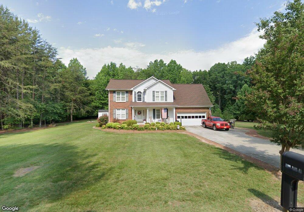
5236 West Rd Kernersville, NC 27284
Northwest Kernersville NeighborhoodEstimated Value: $319,000 - $406,000
4
Beds
6
Baths
2,992
Sq Ft
$120/Sq Ft
Est. Value
About This Home
This home is located at 5236 West Rd, Kernersville, NC 27284 and is currently estimated at $357,625, approximately $119 per square foot. 5236 West Rd is a home located in Forsyth County with nearby schools including Cash Elementary, East Forsyth Middle, and East Forsyth High School.
Ownership History
Date
Name
Owned For
Owner Type
Purchase Details
Closed on
Apr 20, 1998
Sold by
Ramsey Richard A and Ramsey Shirley J
Bought by
Whapham Philip C and Whapham Vickie M
Current Estimated Value
Home Financials for this Owner
Home Financials are based on the most recent Mortgage that was taken out on this home.
Original Mortgage
$117,500
Outstanding Balance
$22,383
Interest Rate
7.14%
Estimated Equity
$335,242
Create a Home Valuation Report for This Property
The Home Valuation Report is an in-depth analysis detailing your home's value as well as a comparison with similar homes in the area
Home Values in the Area
Average Home Value in this Area
Purchase History
| Date | Buyer | Sale Price | Title Company |
|---|---|---|---|
| Whapham Philip C | $157,500 | -- |
Source: Public Records
Mortgage History
| Date | Status | Borrower | Loan Amount |
|---|---|---|---|
| Open | Whapham Philip C | $117,500 |
Source: Public Records
Tax History Compared to Growth
Tax History
| Year | Tax Paid | Tax Assessment Tax Assessment Total Assessment is a certain percentage of the fair market value that is determined by local assessors to be the total taxable value of land and additions on the property. | Land | Improvement |
|---|---|---|---|---|
| 2025 | $1,638 | $323,400 | $45,000 | $278,400 |
| 2024 | $1,638 | $209,600 | $40,400 | $169,200 |
| 2023 | $1,638 | $209,600 | $40,400 | $169,200 |
| 2022 | $1,638 | $209,600 | $40,400 | $169,200 |
| 2021 | $1,638 | $209,600 | $40,400 | $169,200 |
| 2020 | $1,669 | $196,200 | $48,200 | $148,000 |
| 2019 | $1,699 | $196,200 | $48,200 | $148,000 |
| 2018 | $1,633 | $196,200 | $48,200 | $148,000 |
| 2016 | $1,505 | $179,995 | $45,927 | $134,068 |
| 2015 | $1,483 | $179,995 | $45,927 | $134,068 |
| 2014 | $1,440 | $179,995 | $45,927 | $134,068 |
Source: Public Records
Map
Nearby Homes
- 5287 Shaddowfax Dr
- 5320 Brittainywood Rd
- 5226 Shaddowfax Dr
- 5165 Beulah Ln
- 5335 Roburton Rd
- 0 Weston Brooke Trail
- 4721 Weston Brooke Trail
- 4761 Weston Brooke Trail
- 4224 Gracewood Farm Dr
- 4223 Gracewood Farm Dr
- 4217 Gracewood Farm Dr
- 4218 Gracewood Farm Dr
- 0 Morris Rd Rd
- 4212 Gracewood Farm Dr
- 4791 Weston Brooke Trail
- 751 Morris Rd
- 769 Morris Rd
- 4211 Gracewood Farm Dr
- 765 Robbins Perch Trail
- 851 Morris Rd
- 5244 West Rd
- 5175 Ches Ln
- 5229 Chess Ln
- 5258 West Rd
- 5165 Chess Ln
- 5255 West Rd
- 5255 West Rd Unit LOT 2
- 5255 West Rd Unit LOT 1
- 5255 West Rd Unit LOT
- 5248 West Rd
- 5145 Chess Ln
- 5245 Chess Ln
- 5212 Chess Ln
- 5222 Chess Ln
- 5170 Ches Ln
- 5170 Ches Ln
- 5232 Chess Ln
- 5255 Chess Ln
- 5280 Shaddowfax Dr
- 5275 West Rd