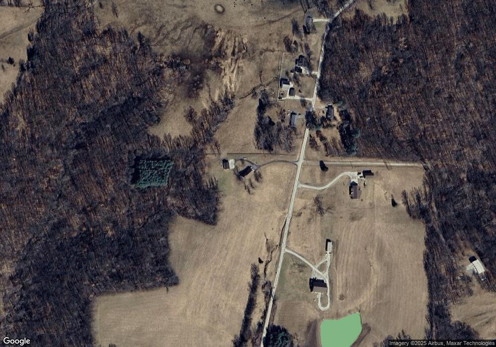
5237 N Yoho Rd Solsberry, IN 47459
Estimated Value: $386,000 - $471,000
3
Beds
3
Baths
3,336
Sq Ft
$128/Sq Ft
Est. Value
About This Home
This home is located at 5237 N Yoho Rd, Solsberry, IN 47459 and is currently estimated at $426,963, approximately $127 per square foot. 5237 N Yoho Rd is a home located in Greene County with nearby schools including Eastern Greene Elementary School, Eastern Greene Middle School, and Eastern Greene High School.
Ownership History
Date
Name
Owned For
Owner Type
Purchase Details
Closed on
Apr 30, 2018
Sold by
Yoho Jeffery A and Yoho Sandi L
Bought by
Bailey Jesse T and Bailey Crystal D
Current Estimated Value
Home Financials for this Owner
Home Financials are based on the most recent Mortgage that was taken out on this home.
Original Mortgage
$261,000
Outstanding Balance
$224,937
Interest Rate
4.44%
Mortgage Type
New Conventional
Estimated Equity
$202,026
Create a Home Valuation Report for This Property
The Home Valuation Report is an in-depth analysis detailing your home's value as well as a comparison with similar homes in the area
Home Values in the Area
Average Home Value in this Area
Purchase History
| Date | Buyer | Sale Price | Title Company |
|---|---|---|---|
| Bailey Jesse T | -- | None Available |
Source: Public Records
Mortgage History
| Date | Status | Borrower | Loan Amount |
|---|---|---|---|
| Open | Bailey Jesse T | $261,000 |
Source: Public Records
Tax History Compared to Growth
Tax History
| Year | Tax Paid | Tax Assessment Tax Assessment Total Assessment is a certain percentage of the fair market value that is determined by local assessors to be the total taxable value of land and additions on the property. | Land | Improvement |
|---|---|---|---|---|
| 2024 | $2,420 | $224,100 | $36,700 | $187,400 |
| 2023 | $2,351 | $220,000 | $33,900 | $186,100 |
| 2022 | $2,768 | $223,600 | $31,000 | $192,600 |
| 2021 | $2,598 | $205,100 | $29,400 | $175,700 |
| 2020 | $2,611 | $209,300 | $29,400 | $179,900 |
| 2019 | $4,003 | $195,600 | $31,400 | $164,200 |
| 2018 | $2,422 | $188,900 | $31,800 | $157,100 |
| 2017 | $2,451 | $188,900 | $33,500 | $155,400 |
| 2016 | $2,427 | $192,200 | $35,000 | $157,200 |
| 2014 | $2,240 | $174,000 | $35,000 | $139,000 |
| 2013 | -- | $172,000 | $32,900 | $139,100 |
Source: Public Records
Map
Nearby Homes
- TBD N Legion Rd
- 5802 N Tree Farm Rd
- 11005 E Wagner Rd
- 5276 N Blue Heron Rd
- RICHLAND CREEK CT E Richland Creek Ct
- 11472 E Wagner Rd
- 9664 E Washboard Rd
- 11430 E Wagner Rd
- 12251 E Wagner Rd
- 11436 E Wagner Rd
- 11424 E Wagner Rd
- 11442 E Wagner Rd
- 11478 E Wagner Rd
- 11466 E Wagner Rd
- 4666 N Pine Dr
- 7502 N State Road 43
- 0 Newark Rd Unit MBR22060733
- 0 Newark Rd Unit 202528271
- 2940 N Stanford Woods Dr
- 13134 E Newton Dr