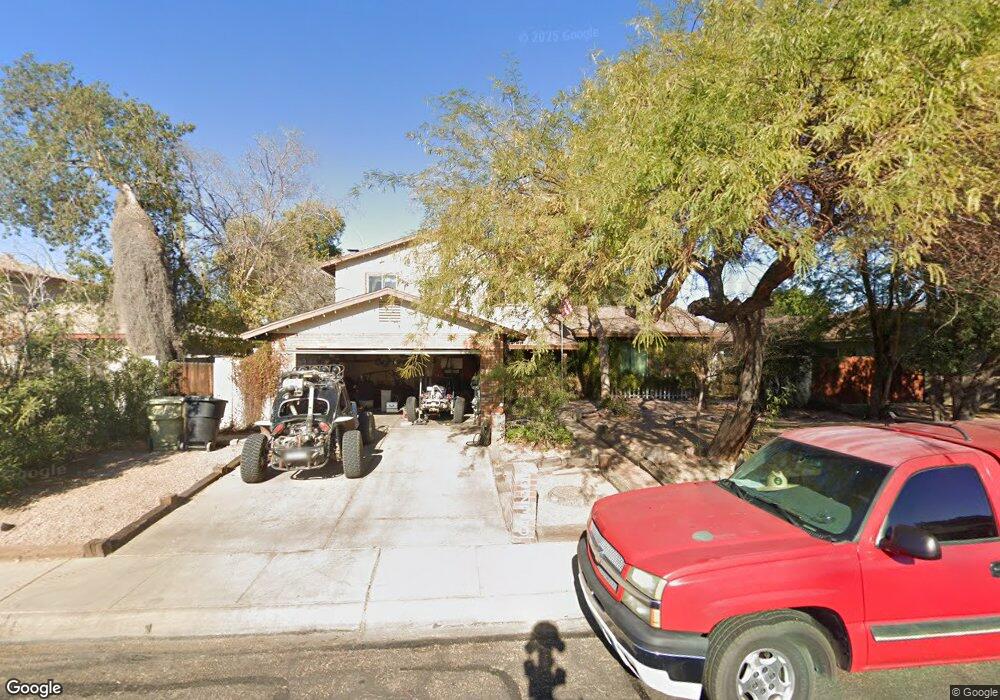
5238 W Shangri la Rd Glendale, AZ 85304
Estimated Value: $331,617 - $451,000
--
Bed
3
Baths
2,106
Sq Ft
$186/Sq Ft
Est. Value
About This Home
This home is located at 5238 W Shangri la Rd, Glendale, AZ 85304 and is currently estimated at $391,904, approximately $186 per square foot. 5238 W Shangri la Rd is a home located in Maricopa County with nearby schools including Desert Palms Elementary School, Ironwood High School, and Heritage Academy - Pointe.
Ownership History
Date
Name
Owned For
Owner Type
Purchase Details
Closed on
Jun 8, 2010
Sold by
Gibson Donna L
Bought by
Dunn Brian T
Current Estimated Value
Home Financials for this Owner
Home Financials are based on the most recent Mortgage that was taken out on this home.
Original Mortgage
$77,710
Outstanding Balance
$52,792
Interest Rate
5.25%
Mortgage Type
FHA
Estimated Equity
$339,112
Purchase Details
Closed on
May 10, 2000
Sold by
Rutherford James E and Rutherford Dorothy L
Bought by
Rutherford James E and Rutherford Dorothy L
Create a Home Valuation Report for This Property
The Home Valuation Report is an in-depth analysis detailing your home's value as well as a comparison with similar homes in the area
Home Values in the Area
Average Home Value in this Area
Purchase History
| Date | Buyer | Sale Price | Title Company |
|---|---|---|---|
| Dunn Brian T | $96,000 | Magnus Title Agency | |
| Rutherford James E | -- | -- |
Source: Public Records
Mortgage History
| Date | Status | Borrower | Loan Amount |
|---|---|---|---|
| Open | Dunn Brian T | $77,710 |
Source: Public Records
Tax History Compared to Growth
Tax History
| Year | Tax Paid | Tax Assessment Tax Assessment Total Assessment is a certain percentage of the fair market value that is determined by local assessors to be the total taxable value of land and additions on the property. | Land | Improvement |
|---|---|---|---|---|
| 2025 | $1,058 | $13,884 | -- | -- |
| 2024 | $1,080 | $13,223 | -- | -- |
| 2023 | $1,080 | $29,180 | $5,830 | $23,350 |
| 2022 | $1,070 | $22,310 | $4,460 | $17,850 |
| 2021 | $1,149 | $20,430 | $4,080 | $16,350 |
| 2020 | $1,166 | $19,060 | $3,810 | $15,250 |
| 2019 | $1,133 | $17,080 | $3,410 | $13,670 |
| 2018 | $1,107 | $16,120 | $3,220 | $12,900 |
| 2017 | $1,114 | $15,010 | $3,000 | $12,010 |
| 2016 | $1,107 | $14,000 | $2,800 | $11,200 |
| 2015 | $1,038 | $13,370 | $2,670 | $10,700 |
Source: Public Records
Map
Nearby Homes
- 11051 N 53rd Ave
- 5214 W Cholla St
- 5131 W Christy Dr
- 5236 W Peoria Ave Unit 202
- 5039 W Mercer Ln Unit 3
- 10803 N 55th Ave
- 11402 N 50th Ave
- 10608 N 53rd Cir
- 11241 N 50th Ave
- 11639 N 52nd Ave
- 5323 W North Ln
- 11640 N 51st Ave Unit 204
- 11640 N 51st Ave Unit 137
- 11640 N 51st Ave Unit 221
- 11640 N 51st Ave Unit 211
- 11640 N 51st Ave Unit 250
- 5407 W North Ln
- 5432 W Sunnyside Dr
- 5174 W Laurel Ave
- 5651 W Mescal St
- 5244 W Shangri la Rd
- 5232 W Shangri la Rd
- 11203 N 52nd Ln
- 11203 N 52nd Dr
- 11208 N 52nd Dr
- 5226 W Shangri la Rd
- 5250 W Shangri la Rd
- 5243 W Shangri la Rd
- 5237 W Shangri la Rd
- 11209 N 52nd Dr
- 11206 N 52nd Dr
- 5249 W Shangri la Rd
- 11209 N 52nd Ln
- 5231 W Shangri la Rd
- 11214 N 52nd Dr
- 11039 N 53rd Ave
- 5225 W Shangri la Rd
- 11033 N 53rd Ave
- 5214 W Shangri la Rd
- 11201 N 53rd Ave