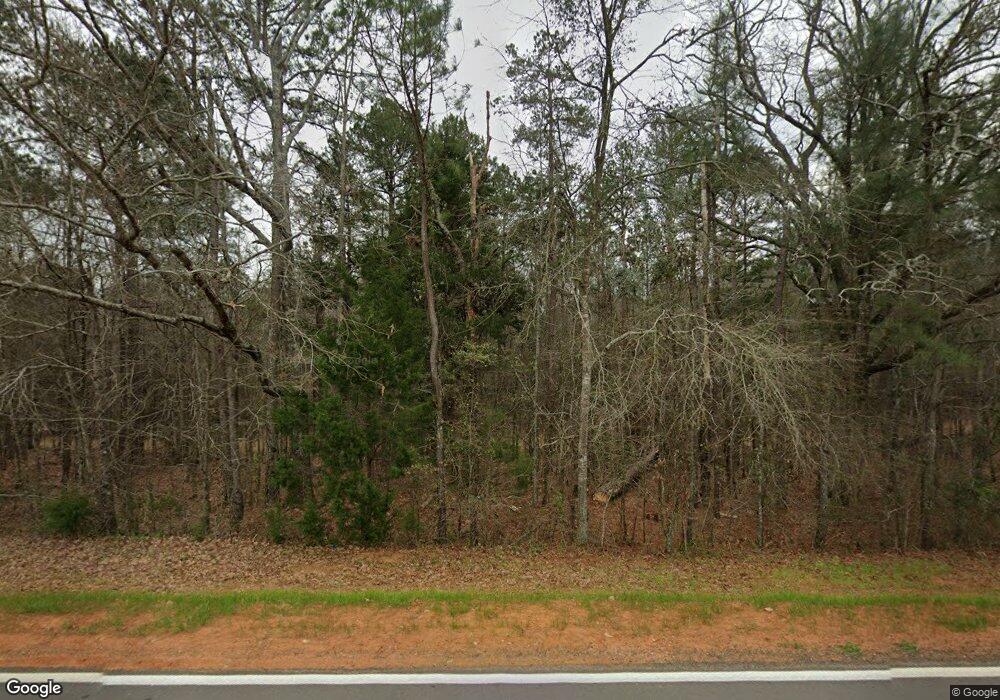
5238 White Oak Rd Appling, GA 30802
Estimated Value: $694,186 - $696,000
3
Beds
3
Baths
2,684
Sq Ft
$259/Sq Ft
Est. Value
About This Home
This home is located at 5238 White Oak Rd, Appling, GA 30802 and is currently estimated at $695,093, approximately $258 per square foot. 5238 White Oak Rd is a home located in Columbia County with nearby schools including North Columbia Elementary School, Harlem Middle School, and Suncoast Community High School.
Ownership History
Date
Name
Owned For
Owner Type
Purchase Details
Closed on
Jun 7, 2007
Sold by
Dew Land Dev Co
Bought by
Phillips John Scott
Current Estimated Value
Home Financials for this Owner
Home Financials are based on the most recent Mortgage that was taken out on this home.
Original Mortgage
$96,300
Interest Rate
6.16%
Mortgage Type
New Conventional
Create a Home Valuation Report for This Property
The Home Valuation Report is an in-depth analysis detailing your home's value as well as a comparison with similar homes in the area
Purchase History
| Date | Buyer | Sale Price | Title Company |
|---|---|---|---|
| Phillips John Scott | $107,000 | -- |
Source: Public Records
Mortgage History
| Date | Status | Borrower | Loan Amount |
|---|---|---|---|
| Closed | Phillips John Scott | $96,300 |
Source: Public Records
Tax History Compared to Growth
Tax History
| Year | Tax Paid | Tax Assessment Tax Assessment Total Assessment is a certain percentage of the fair market value that is determined by local assessors to be the total taxable value of land and additions on the property. | Land | Improvement |
|---|---|---|---|---|
| 2025 | $4,906 | $292,359 | $111,026 | $181,333 |
| 2024 | $4,292 | $235,336 | $82,530 | $152,806 |
| 2023 | $4,292 | $203,736 | $59,020 | $144,716 |
| 2022 | $3,905 | $187,001 | $49,262 | $137,739 |
| 2021 | $3,565 | $166,333 | $47,312 | $119,021 |
| 2020 | $3,738 | $136,637 | $12,976 | $123,661 |
| 2019 | $3,668 | $134,121 | $12,180 | $121,941 |
| 2018 | $3,343 | $121,981 | $6,031 | $115,950 |
| 2017 | $3,306 | $120,264 | $5,979 | $114,285 |
| 2016 | $2,865 | $108,339 | $3,955 | $104,384 |
| 2015 | $2,843 | $107,344 | $3,904 | $103,440 |
| 2014 | $2,625 | $98,046 | $3,851 | $94,195 |
Source: Public Records
Map
Nearby Homes
- 1807 Smith Crawford Rd
- 4960 White Oak Rd
- 411 Josh Christy Cove
- 340 Arthur Grimaud Way
- 7051 Bill Dorn Rd
- 7208 Bill Dorn Rd Unit 9
- 7208 Bill Dorn Rd
- 7200 Bill Dorn Rd
- 7200 Bill Dorn Rd Unit 11
- Oakwood Plan at Dornwood Estates
- 7204 Bill Dorn Rd
- Magnolia Plan at Dornwood Estates
- Cannaberra Plan at Dornwood Estates
- Harrison Plan at Dornwood Estates
- Cypress Plan at Dornwood Estates
- 7204 Bill Dorn Rd Unit 10
- Jackson Plan at Dornwood Estates
- Belmont Plan at Dornwood Estates
- Camden Plan at Dornwood Estates
- 7196 Bill Dorn Rd Unit 12
- 5234 White Oak Rd
- 5236 White Oak Rd
- 5256 White Oak Rd
- 5232 White Oak Rd
- 5249 White Oak Rd
- 5266 White Oak Rd
- 5212 White Oak Rd
- 5267 White Oak Rd
- 1955 Smith Crawford Rd
- 0000 White Oak Rd
- 00 White Oak Rd
- 000 White Oak Rd
- 5225 White Oak Rd
- 5808 White Oak Rd
- 5220 White Oak Rd
- 5213 White Oak Rd
- 5275 White Oak Rd
- 5275 White Oak Rd
- 5207 White Oak Rd
- 5206 White Oak Rd
