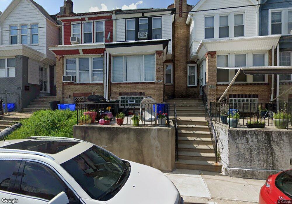
5239 Euclid St Philadelphia, PA 19131
Wynnefield NeighborhoodEstimated Value: $170,179 - $232,000
3
Beds
1
Bath
1,100
Sq Ft
$184/Sq Ft
Est. Value
About This Home
This home is located at 5239 Euclid St, Philadelphia, PA 19131 and is currently estimated at $202,795, approximately $184 per square foot. 5239 Euclid St is a home located in Philadelphia County with nearby schools including Rudolph Blankenburg School, Overbrook High School, and Mastery Charter School Mann Elementary.
Ownership History
Date
Name
Owned For
Owner Type
Purchase Details
Closed on
May 19, 2006
Sold by
Walton Elizabeth M and Bradford Elizabeth
Bought by
Bradford Elizabeth
Current Estimated Value
Home Financials for this Owner
Home Financials are based on the most recent Mortgage that was taken out on this home.
Original Mortgage
$78,750
Interest Rate
6.62%
Mortgage Type
New Conventional
Create a Home Valuation Report for This Property
The Home Valuation Report is an in-depth analysis detailing your home's value as well as a comparison with similar homes in the area
Home Values in the Area
Average Home Value in this Area
Purchase History
| Date | Buyer | Sale Price | Title Company |
|---|---|---|---|
| Bradford Elizabeth | -- | None Available |
Source: Public Records
Mortgage History
| Date | Status | Borrower | Loan Amount |
|---|---|---|---|
| Closed | Bradford Elizabeth | $78,750 |
Source: Public Records
Tax History Compared to Growth
Tax History
| Year | Tax Paid | Tax Assessment Tax Assessment Total Assessment is a certain percentage of the fair market value that is determined by local assessors to be the total taxable value of land and additions on the property. | Land | Improvement |
|---|---|---|---|---|
| 2025 | $1,540 | $166,200 | $33,240 | $132,960 |
| 2024 | $1,540 | $166,200 | $33,240 | $132,960 |
| 2023 | $1,540 | $110,000 | $22,000 | $88,000 |
| 2022 | $910 | $65,000 | $22,000 | $43,000 |
| 2021 | $1,363 | $0 | $0 | $0 |
| 2020 | $1,363 | $0 | $0 | $0 |
| 2019 | $1,313 | $0 | $0 | $0 |
| 2018 | $1,313 | $0 | $0 | $0 |
| 2017 | $1,313 | $0 | $0 | $0 |
| 2016 | $914 | $0 | $0 | $0 |
| 2015 | $875 | $0 | $0 | $0 |
| 2014 | -- | $93,800 | $7,892 | $85,908 |
| 2012 | -- | $10,112 | $1,770 | $8,342 |
Source: Public Records
Map
Nearby Homes
- 5316 W Berks St
- 5201 Euclid St
- 1822 N 52nd St
- 5221 W Berks St
- 5318 Arlington St
- 1812 N 52nd St
- 5351 Morse St
- 5317 Arlington St
- 1856 Georges Ln
- 1472 1484 N 52nd St
- 5347 W Montgomery Ave
- 1757 N Peach St
- 5378 Morse St
- 5225 Lebanon Ave
- 5325 Lebanon Ave
- 5351 Hazelhurst St
- 1735 N Peach St
- 5364 Lebanon Ave
- 2001 N 52nd St
- 5389 Hazelhurst St
- 5241 Euclid St
- 5237 Euclid St
- 5243 Euclid St
- 5235 Euclid St
- 5233 Euclid St
- 5245 Euclid St
- 5231 Euclid St
- 5229 Euclid St
- 5227 Euclid St
- 5246 W Berks St
- 5250 W Berks St
- 5250 W Berks St Unit 2
- 5248 W Berks St
- 5244 W Berks St
- 5228 Euclid St
- 5242 W Berks St
- 5252 W Berks St
- 5254 W Berks St
- 5225 Euclid St
- 5240 W Berks St