Estimated Value: $181,000 - $233,000
2
Beds
1
Bath
816
Sq Ft
$253/Sq Ft
Est. Value
About This Home
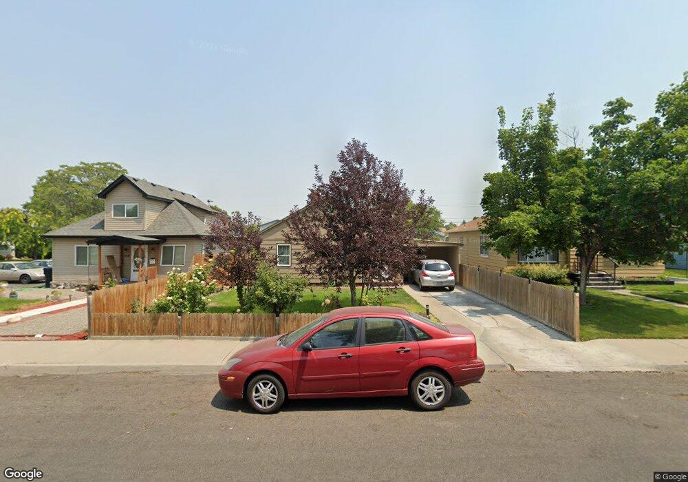
This home is located at 524 12th Ave N, Buhl, ID 83316 and is currently estimated at $206,737, approximately $253 per square foot. 524 12th Ave N is a home located in Twin Falls County with nearby schools including Popplewell Elementary School, Buhl Middle School, and Buhl High School.
Ownership History
Date
Name
Owned For
Owner Type
Purchase Details
Closed on
Jun 30, 2022
Sold by
Blackburn Julienne D
Bought by
Wadsworth Dakoda K
Current Estimated Value
Purchase Details
Closed on
Jun 27, 2006
Sold by
Phillip G And Leanna N Hilliard Trust
Bought by
Garcia Jose Luis and Barajas Maria Isabel
Home Financials for this Owner
Home Financials are based on the most recent Mortgage that was taken out on this home.
Original Mortgage
$44,659
Interest Rate
6.57%
Mortgage Type
Purchase Money Mortgage
Create a Home Valuation Report for This Property
The Home Valuation Report is an in-depth analysis detailing your home's value as well as a comparison with similar homes in the area
Home Values in the Area
Average Home Value in this Area
Purchase History
| Date | Buyer | Sale Price | Title Company |
|---|---|---|---|
| Wadsworth Dakoda K | -- | Title One | |
| Garcia Jose Luis | -- | -- |
Source: Public Records
Mortgage History
| Date | Status | Borrower | Loan Amount |
|---|---|---|---|
| Previous Owner | Garcia Jose Luis | $44,659 |
Source: Public Records
Tax History Compared to Growth
Tax History
| Year | Tax Paid | Tax Assessment Tax Assessment Total Assessment is a certain percentage of the fair market value that is determined by local assessors to be the total taxable value of land and additions on the property. | Land | Improvement |
|---|---|---|---|---|
| 2025 | $775 | $143,688 | $49,328 | $94,360 |
| 2024 | $775 | $145,128 | $49,328 | $95,800 |
| 2023 | $602 | $129,608 | $49,328 | $80,280 |
| 2022 | $840 | $128,177 | $45,708 | $82,469 |
| 2021 | $748 | $89,619 | $21,207 | $68,412 |
| 2020 | $618 | $67,553 | $19,574 | $47,979 |
| 2019 | $608 | $58,334 | $17,124 | $41,210 |
| 2018 | $614 | $59,851 | $17,124 | $42,727 |
| 2017 | $547 | $52,867 | $17,124 | $35,743 |
| 2016 | $520 | $48,848 | $0 | $0 |
| 2015 | $476 | $46,170 | $0 | $0 |
| 2012 | -- | $43,780 | $0 | $0 |
Source: Public Records
Map
Nearby Homes
- 1019 Birch St
- 328 13th Ave N
- 607 9th Ave N
- 320 14th Ave N
- 426 9th Ave N
- 405 8th Ave N
- 700 Linden St
- 222 9th Ave N
- 20039 Highway 30
- 225 8th Ave N
- 912 Broadway Ave N
- 705 Maple St
- 120 9th Ave N
- 1808 Poplar St
- 1800 Poplar St
- 100 Sunset Cir
- 124 8th Ave N
- 419 Fruitland Ave Unit 46
- 419 Fruitland Ave Unit Space 47
- 121 7th Ave S Unit A & B