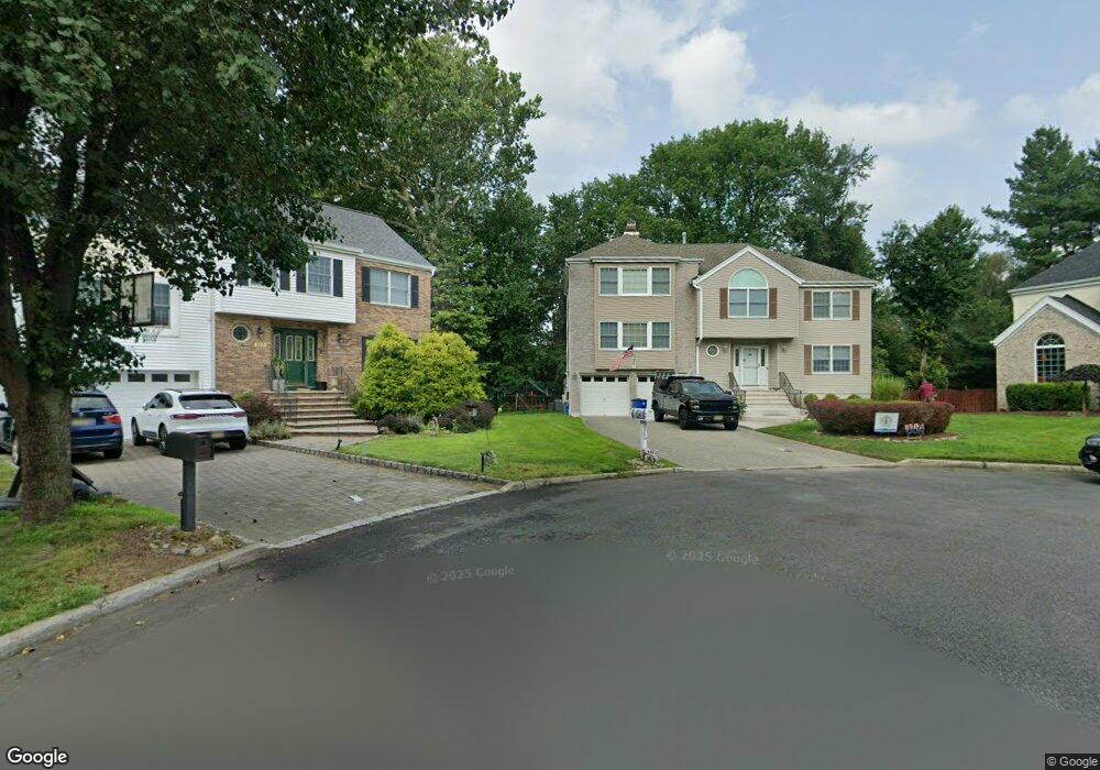
524 Alosio Dr Westwood, NJ 07675
Estimated Value: $980,000 - $1,183,000
--
Bed
--
Bath
2,926
Sq Ft
$364/Sq Ft
Est. Value
About This Home
This home is located at 524 Alosio Dr, Westwood, NJ 07675 and is currently estimated at $1,065,891, approximately $364 per square foot. 524 Alosio Dr is a home located in Bergen County with nearby schools including Pascack Valley High School, Primoris Academy, and St. John's Academy.
Ownership History
Date
Name
Owned For
Owner Type
Purchase Details
Closed on
Jul 21, 2000
Sold by
Mccavitt Paul and Mccavitt Stephanie
Bought by
Bracco Thomas and Bracco Judith
Current Estimated Value
Purchase Details
Closed on
Aug 10, 1994
Sold by
U S C Realty River Vale Inc
Bought by
Mccavitt Paul Mc and Mccavitt Stephanie Mc
Home Financials for this Owner
Home Financials are based on the most recent Mortgage that was taken out on this home.
Original Mortgage
$350,000
Interest Rate
8.61%
Mortgage Type
Purchase Money Mortgage
Create a Home Valuation Report for This Property
The Home Valuation Report is an in-depth analysis detailing your home's value as well as a comparison with similar homes in the area
Home Values in the Area
Average Home Value in this Area
Purchase History
| Date | Buyer | Sale Price | Title Company |
|---|---|---|---|
| Bracco Thomas | $525,000 | -- | |
| Mccavitt Paul Mc | $389,000 | -- |
Source: Public Records
Mortgage History
| Date | Status | Borrower | Loan Amount |
|---|---|---|---|
| Previous Owner | Mccavitt Paul Mc | $350,000 |
Source: Public Records
Tax History Compared to Growth
Tax History
| Year | Tax Paid | Tax Assessment Tax Assessment Total Assessment is a certain percentage of the fair market value that is determined by local assessors to be the total taxable value of land and additions on the property. | Land | Improvement |
|---|---|---|---|---|
| 2025 | $18,740 | $686,200 | $284,800 | $401,400 |
| 2024 | $18,623 | $686,200 | $284,800 | $401,400 |
| 2023 | $18,150 | $686,200 | $284,800 | $401,400 |
| 2022 | $18,150 | $686,200 | $284,800 | $401,400 |
| 2021 | $17,725 | $686,200 | $284,800 | $401,400 |
| 2020 | $17,930 | $686,200 | $284,800 | $401,400 |
| 2019 | $17,519 | $686,200 | $284,800 | $401,400 |
| 2018 | $17,965 | $711,500 | $310,100 | $401,400 |
| 2017 | $17,702 | $711,500 | $310,100 | $401,400 |
| 2016 | $18,128 | $750,000 | $394,300 | $355,700 |
| 2015 | $17,610 | $750,000 | $394,300 | $355,700 |
| 2014 | $17,040 | $750,000 | $394,300 | $355,700 |
Source: Public Records
Map
Nearby Homes
- 502 Westwood Ave
- 229 William St
- 17 Lewis Place
- 20 Lewis Place
- 75 Bergen St
- 19 Lexington Ave
- 149 Brookside Ave
- 11 Park Place
- 25 Crest St Unit 206
- 30 Homestead St
- 258 Rivervale Rd
- 567 Echo Glen Ave
- 271 Collignon Way
- 271 Collignon Way Unit 8B
- 271 Collignon Way Unit 4A
- 259 Collignon Way Unit 3A
- 430 Kinderkamack Rd
- 722 Wilson Ct
- 57 Crosley Terrace
- 515 Broadway