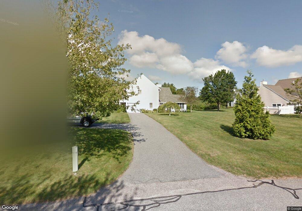
524 Corey Ln Middletown, RI 02842
Estimated Value: $699,991 - $825,000
3
Beds
3
Baths
1,744
Sq Ft
$432/Sq Ft
Est. Value
About This Home
This home is located at 524 Corey Ln, Middletown, RI 02842 and is currently estimated at $753,248, approximately $431 per square foot. 524 Corey Ln is a home located in Newport County with nearby schools including Middletown High School, All Saints STEAM Academy, and St George's School.
Ownership History
Date
Name
Owned For
Owner Type
Purchase Details
Closed on
Oct 28, 2022
Sold by
524 Corey Lane Llc
Bought by
Banister David A
Current Estimated Value
Home Financials for this Owner
Home Financials are based on the most recent Mortgage that was taken out on this home.
Original Mortgage
$520,110
Outstanding Balance
$497,883
Interest Rate
5.5%
Mortgage Type
Purchase Money Mortgage
Estimated Equity
$255,365
Purchase Details
Closed on
Feb 12, 2015
Sold by
Jacaruso William J
Bought by
524 Corey Lane Llc
Purchase Details
Closed on
Jul 17, 2006
Sold by
Dwyer Roger
Bought by
Jacaruso Katherine and Jacaruso William
Purchase Details
Closed on
Sep 18, 1998
Sold by
Alofsin John R and Alofsin Gail A
Bought by
Dwyer Roger M
Home Financials for this Owner
Home Financials are based on the most recent Mortgage that was taken out on this home.
Original Mortgage
$123,100
Interest Rate
6.9%
Create a Home Valuation Report for This Property
The Home Valuation Report is an in-depth analysis detailing your home's value as well as a comparison with similar homes in the area
Home Values in the Area
Average Home Value in this Area
Purchase History
| Date | Buyer | Sale Price | Title Company |
|---|---|---|---|
| Banister David A | $547,485 | None Available | |
| 524 Corey Lane Llc | -- | -- | |
| Jacaruso Katherine | $455,000 | -- | |
| Dwyer Roger M | $154,000 | -- |
Source: Public Records
Mortgage History
| Date | Status | Borrower | Loan Amount |
|---|---|---|---|
| Open | Banister David A | $520,110 | |
| Previous Owner | Dwyer Roger M | $153,900 | |
| Previous Owner | Dwyer Roger M | $155,000 | |
| Previous Owner | Dwyer Roger M | $123,100 |
Source: Public Records
Tax History
| Year | Tax Paid | Tax Assessment Tax Assessment Total Assessment is a certain percentage of the fair market value that is determined by local assessors to be the total taxable value of land and additions on the property. | Land | Improvement |
|---|---|---|---|---|
| 2025 | $6,184 | $524,500 | $0 | $524,500 |
| 2024 | $5,906 | $524,500 | $0 | $524,500 |
| 2023 | $4,726 | $375,400 | $0 | $375,400 |
| 2022 | $4,512 | $375,400 | $0 | $375,400 |
| 2021 | $4,512 | $375,400 | $0 | $375,400 |
| 2020 | $4,777 | $347,200 | $0 | $347,200 |
| 2018 | $4,774 | $347,200 | $0 | $347,200 |
| 2016 | $4,694 | $304,400 | $0 | $304,400 |
| 2015 | $4,578 | $304,400 | $0 | $304,400 |
| 2014 | $4,268 | $265,600 | $0 | $265,600 |
| 2013 | $4,173 | $265,600 | $0 | $265,600 |
Source: Public Records
Map
Nearby Homes
- 223 Corey Ln
- 310 Corey Ln
- 16 Ward Ave
- 476 Green End Ave
- 81 Beagle Dr
- 23 Indian Hill Cir
- 10 Oceanview Dr
- 10 Smithfield Dr
- 74 Valley Rd
- 55 John Clarke Rd Unit 8
- 55 John Clarke Rd Unit 3
- 138 Green End Ave
- 118 Wolcott Ave
- 141 Gray Craig Rd
- 7 Restmere Terrace
- 533 Forest Park
- 529 Forest Park
- 521 Forest Park
- 836 Forest Park
- 743 Forest Park
Your Personal Tour Guide
Ask me questions while you tour the home.