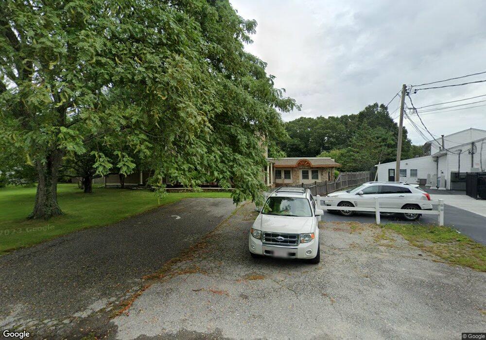
524 Gifford Rd Westport, MA 02790
North Westport NeighborhoodEstimated Value: $583,000 - $889,000
5
Beds
--
Bath
3,396
Sq Ft
$213/Sq Ft
Est. Value
About This Home
This home is located at 524 Gifford Rd, Westport, MA 02790 and is currently estimated at $724,862, approximately $213 per square foot. 524 Gifford Rd is a home located in Bristol County with nearby schools including Alice A. Macomber Primary School, Westport Elementary School, and Westport Middle-High School.
Ownership History
Date
Name
Owned For
Owner Type
Purchase Details
Closed on
Oct 2, 1997
Sold by
Camara Steven M and Camara Lori
Bought by
White Raymond M and White Tracey A
Current Estimated Value
Purchase Details
Closed on
Oct 28, 1993
Sold by
Costas Quality Bldrs
Bought by
Camara Steven J
Purchase Details
Closed on
Aug 24, 1988
Sold by
Camara John P
Bought by
Camara Steven M
Create a Home Valuation Report for This Property
The Home Valuation Report is an in-depth analysis detailing your home's value as well as a comparison with similar homes in the area
Home Values in the Area
Average Home Value in this Area
Purchase History
| Date | Buyer | Sale Price | Title Company |
|---|---|---|---|
| White Raymond M | $193,500 | -- | |
| Camara Steven J | $26,000 | -- | |
| Camara Steven M | $140,000 | -- |
Source: Public Records
Mortgage History
| Date | Status | Borrower | Loan Amount |
|---|---|---|---|
| Open | Camara Steven M | $245,000 | |
| Closed | Camara Steven M | $180,000 | |
| Closed | Camara Steven M | $161,000 |
Source: Public Records
Tax History Compared to Growth
Tax History
| Year | Tax Paid | Tax Assessment Tax Assessment Total Assessment is a certain percentage of the fair market value that is determined by local assessors to be the total taxable value of land and additions on the property. | Land | Improvement |
|---|---|---|---|---|
| 2025 | $4,752 | $637,800 | $178,000 | $459,800 |
| 2024 | $4,704 | $608,500 | $158,000 | $450,500 |
| 2023 | $4,652 | $570,100 | $143,900 | $426,200 |
| 2022 | $4,444 | $524,100 | $143,900 | $380,200 |
| 2021 | $4,303 | $499,200 | $119,000 | $380,200 |
| 2020 | $4,168 | $494,400 | $114,200 | $380,200 |
| 2019 | $4,100 | $495,800 | $114,200 | $381,600 |
| 2018 | $3,888 | $475,900 | $114,200 | $361,700 |
| 2017 | $3,755 | $471,200 | $110,600 | $360,600 |
| 2016 | $3,589 | $453,700 | $106,900 | $346,800 |
| 2015 | $3,164 | $399,000 | $109,400 | $289,600 |
Source: Public Records
Map
Nearby Homes
- 930 American Legion Hwy Unit 930G
- 930 American Legion Hwy Unit 930F
- 930 American Legion Hwy Unit 930W
- 930 American Legion Hwy Unit 930E
- 930 American Legion Hwy
- 520 Gifford Rd
- 3 Dias Ave
- 1 Sheila Ave
- 5 Dias Ave
- 940 American Legion Hwy
- 515 Gifford Rd
- 6 Dias Ave
- 16 Dias Ave
- 3 Sheila Ave
- 553 Gifford Rd
- 2 Sheila Ave
- 12 Dias Ave
- 935 American Legion Hwy
- 946-948 E American Legion Hwy
- 18 Dias Ave