Estimated Value: $383,000 - $452,000
3
Beds
3
Baths
1,586
Sq Ft
$261/Sq Ft
Est. Value
About This Home
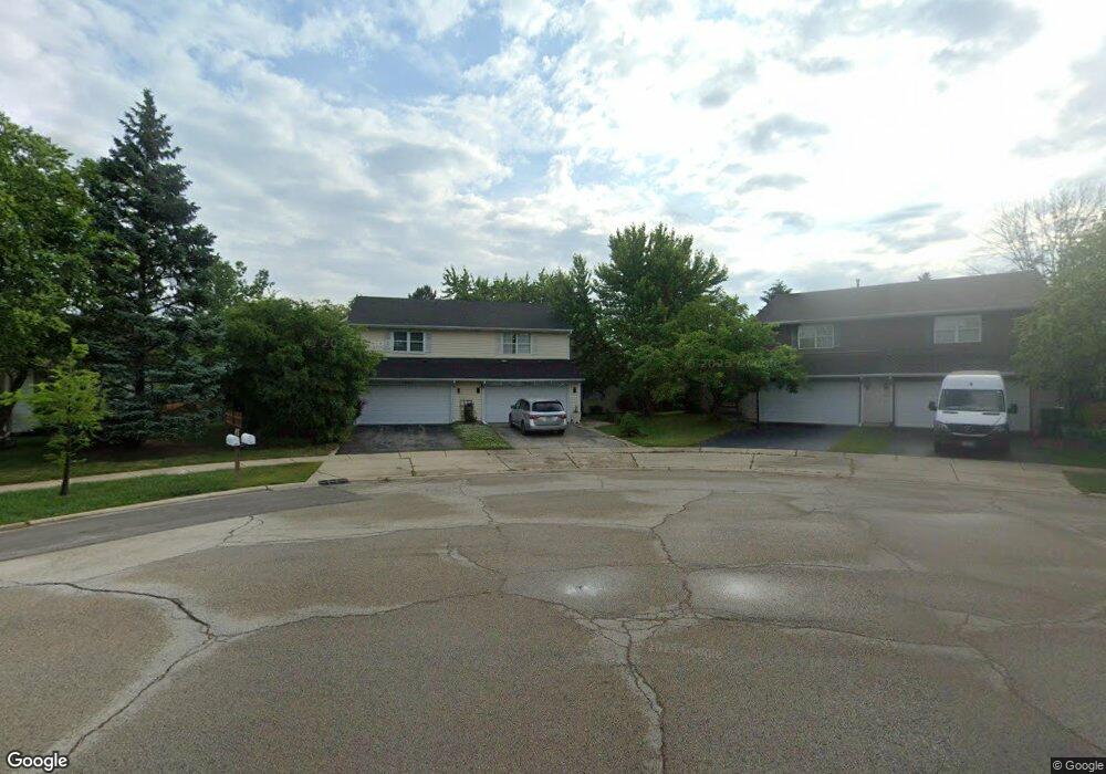
This home is located at 524 Lyon Dr, Buffalo Grove, IL 60089 and is currently estimated at $413,210, approximately $260 per square foot. 524 Lyon Dr is a home located in Lake County with nearby schools including Prairie Elementary School, Twin Groves Middle School, and Adlai E Stevenson High School.
Ownership History
Date
Name
Owned For
Owner Type
Purchase Details
Closed on
Apr 30, 2016
Sold by
Yonin Gabriel
Bought by
Yonin Gabriel and Yonin Yonina Hyuliya
Current Estimated Value
Purchase Details
Closed on
Aug 23, 2010
Sold by
Tracey Julie A
Bought by
Yonin Gabriel
Home Financials for this Owner
Home Financials are based on the most recent Mortgage that was taken out on this home.
Original Mortgage
$188,954
Outstanding Balance
$126,237
Interest Rate
4.75%
Mortgage Type
FHA
Estimated Equity
$286,973
Create a Home Valuation Report for This Property
The Home Valuation Report is an in-depth analysis detailing your home's value as well as a comparison with similar homes in the area
Home Values in the Area
Average Home Value in this Area
Purchase History
| Date | Buyer | Sale Price | Title Company |
|---|---|---|---|
| Yonin Gabriel | -- | Attorney | |
| Yonin Gabriel | $191,500 | None Available |
Source: Public Records
Mortgage History
| Date | Status | Borrower | Loan Amount |
|---|---|---|---|
| Open | Yonin Gabriel | $188,954 |
Source: Public Records
Tax History Compared to Growth
Tax History
| Year | Tax Paid | Tax Assessment Tax Assessment Total Assessment is a certain percentage of the fair market value that is determined by local assessors to be the total taxable value of land and additions on the property. | Land | Improvement |
|---|---|---|---|---|
| 2024 | $8,944 | $105,932 | $27,614 | $78,318 |
| 2023 | $8,974 | $95,195 | $24,815 | $70,380 |
| 2022 | $8,974 | $92,064 | $23,999 | $68,065 |
| 2021 | $8,632 | $91,071 | $23,740 | $67,331 |
| 2020 | $8,429 | $91,382 | $23,821 | $67,561 |
| 2019 | $8,895 | $96,978 | $23,733 | $73,245 |
| 2018 | $8,299 | $93,637 | $25,802 | $67,835 |
| 2017 | $8,140 | $91,452 | $25,200 | $66,252 |
| 2016 | $7,920 | $87,573 | $24,131 | $63,442 |
| 2015 | $7,699 | $81,897 | $22,567 | $59,330 |
| 2014 | $5,710 | $61,475 | $24,237 | $37,238 |
| 2012 | $5,542 | $61,599 | $24,286 | $37,313 |
Source: Public Records
Map
Nearby Homes
- 538 Lasalle Ct
- 1901 Brandywyn Ln
- 327 Lasalle Ln
- 1903 Sheridan Rd
- 268 Hoffmann Dr
- 361 Hoffmann Dr
- 333 Didier Ct
- 1118 Larraway Dr
- 1265 Devonshire Rd
- 890 Knollwood Dr
- 15 Thompson Ct
- 1272 Sandhurst Dr
- 486 Satinwood Terrace Unit 11
- 2033 Olive Hill Dr
- 1113 Lockwood Dr
- 22118 N Prairie Rd
- 896 Chaucer Way Unit 2
- 1998 Sheridan Ct
- 2071 Wright Blvd
- 1141 Devonshire Rd