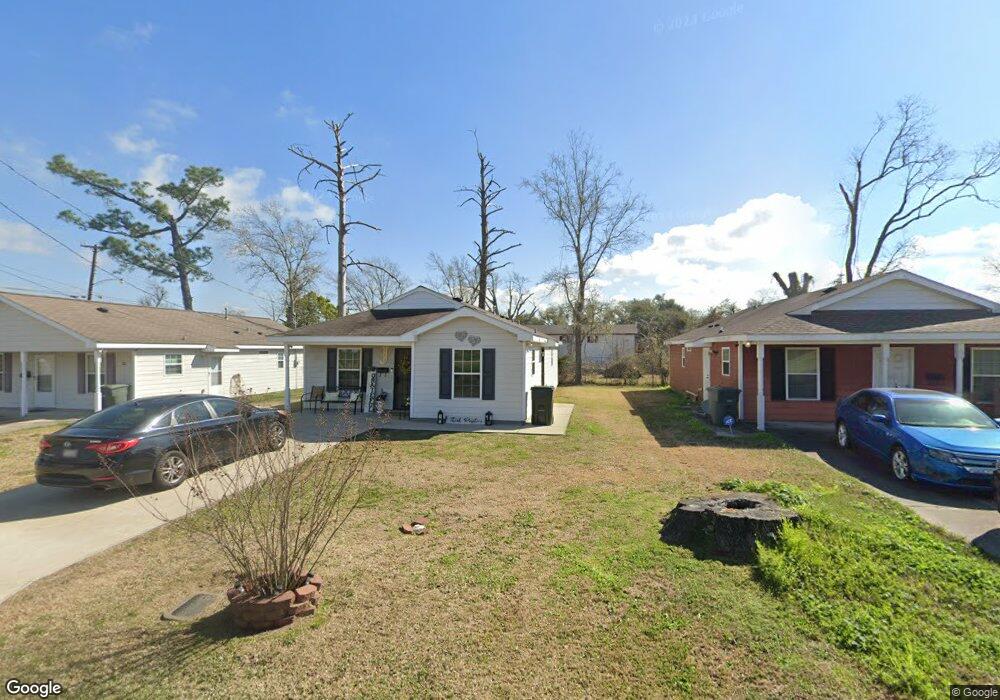
524 N Franklin St Lake Charles, LA 70601
Estimated Value: $110,000 - $136,000
3
Beds
2
Baths
1,197
Sq Ft
$104/Sq Ft
Est. Value
About This Home
This home is located at 524 N Franklin St, Lake Charles, LA 70601 and is currently estimated at $124,902, approximately $104 per square foot. 524 N Franklin St is a home located in Calcasieu Parish with nearby schools including John J. Johnson II Elementary School, Ralph F. Wilson Elementary School, and Ray D. Molo Middle School.
Ownership History
Date
Name
Owned For
Owner Type
Purchase Details
Closed on
Sep 6, 2012
Sold by
Habitat For Humanity Calcasieu Area Inc
Bought by
Jones Leslie Therese
Current Estimated Value
Home Financials for this Owner
Home Financials are based on the most recent Mortgage that was taken out on this home.
Original Mortgage
$27,000
Outstanding Balance
$16,966
Interest Rate
3.62%
Mortgage Type
Stand Alone Second
Estimated Equity
$107,936
Purchase Details
Closed on
Apr 4, 2011
Sold by
Ball Reginald M and Ball Eva Rita
Bought by
Habitat For Humanity Calcasieu Area Inc
Create a Home Valuation Report for This Property
The Home Valuation Report is an in-depth analysis detailing your home's value as well as a comparison with similar homes in the area
Home Values in the Area
Average Home Value in this Area
Purchase History
| Date | Buyer | Sale Price | Title Company |
|---|---|---|---|
| Jones Leslie Therese | $70,000 | None Available | |
| Habitat For Humanity Calcasieu Area Inc | $22,500 | None Available |
Source: Public Records
Mortgage History
| Date | Status | Borrower | Loan Amount |
|---|---|---|---|
| Open | Jones Leslie Therese | $27,000 |
Source: Public Records
Tax History Compared to Growth
Tax History
| Year | Tax Paid | Tax Assessment Tax Assessment Total Assessment is a certain percentage of the fair market value that is determined by local assessors to be the total taxable value of land and additions on the property. | Land | Improvement |
|---|---|---|---|---|
| 2024 | $104 | $6,960 | $450 | $6,510 |
| 2023 | $104 | $6,960 | $450 | $6,510 |
| 2022 | $105 | $6,960 | $450 | $6,510 |
| 2021 | $105 | $6,960 | $450 | $6,510 |
| 2020 | $814 | $6,290 | $430 | $5,860 |
| 2019 | $932 | $6,930 | $420 | $6,510 |
| 2018 | $106 | $6,930 | $420 | $6,510 |
| 2017 | $787 | $6,930 | $420 | $6,510 |
| 2016 | $47 | $6,930 | $420 | $6,510 |
| 2015 | $47 | $6,930 | $420 | $6,510 |
Source: Public Records
Map
Nearby Homes
- 517 N Franklin St
- 0 N Enterprise Blvd
- 0 N 1st Ave
- 0 Fournet St Unit SWL24005617
- 1408 Fournet St
- 1623 Gieffers St
- 1408 Jackson St
- 122 N Bank St
- 109 S Franklin St
- 110 Libby St
- 0 Libby St
- 1215 N Railroad Ave
- 114 Libby St
- 811 N Goos Blvd
- 206 S Blake St
- 802 N Goos Blvd
- 0 Highway 90
- TBD Highway 90
- 711 Jackson St
- 709 Jackson St
- 528 N Franklin St
- 508 N Franklin St
- 1319 Saint John St
- 520 N Franklin St
- 513 N Franklin St
- 521 N Franklin St
- 1221 Saint John St
- 1318 Saint John St
- 509 N 1st Ave
- 425 N 1st Ave
- 1230 Saint John St
- 527 N 1st Ave
- 503 N 1st Ave
- 1217 Saint John St
- 501 N 1st Ave
- 501 N 1st Ave
- 501 N 1st Ave
- 427 N 1st Ave
- 423 N 1st Ave
- 421 N 1st Ave