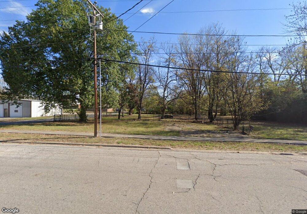
524 N Main St Mulberry, AR 72947
Estimated Value: $76,462 - $180,000
--
Bed
--
Bath
--
Sq Ft
0.25
Acres
About This Home
This home is located at 524 N Main St, Mulberry, AR 72947 and is currently estimated at $116,154. 524 N Main St is a home located in Crawford County with nearby schools including Marvin Primary School, Pleasant View Junior High School, and Mulberry High School.
Ownership History
Date
Name
Owned For
Owner Type
Purchase Details
Closed on
Dec 15, 2008
Sold by
Mason Donald G
Bought by
Rainbow Jubilee Inc
Current Estimated Value
Purchase Details
Closed on
Apr 8, 2003
Bought by
Hunter and Almond-House
Purchase Details
Closed on
Aug 26, 1997
Bought by
Hunter-Hunter
Purchase Details
Closed on
Jun 13, 1995
Bought by
James-Garrett
Create a Home Valuation Report for This Property
The Home Valuation Report is an in-depth analysis detailing your home's value as well as a comparison with similar homes in the area
Home Values in the Area
Average Home Value in this Area
Purchase History
| Date | Buyer | Sale Price | Title Company |
|---|---|---|---|
| Rainbow Jubilee Inc | $10,000 | None Available | |
| Hunter | -- | -- | |
| Hunter-Hunter | -- | -- | |
| Garrett-Hunter | $16,000 | -- | |
| James-Garrett | $17,000 | -- |
Source: Public Records
Tax History Compared to Growth
Tax History
| Year | Tax Paid | Tax Assessment Tax Assessment Total Assessment is a certain percentage of the fair market value that is determined by local assessors to be the total taxable value of land and additions on the property. | Land | Improvement |
|---|---|---|---|---|
| 2025 | $111 | $2,860 | $2,700 | $160 |
| 2024 | $102 | $2,860 | $2,700 | $160 |
| 2023 | $94 | $2,860 | $2,700 | $160 |
| 2022 | $85 | $1,630 | $1,530 | $100 |
| 2021 | $79 | $1,630 | $1,530 | $100 |
| 2020 | $79 | $1,630 | $1,530 | $100 |
| 2019 | $79 | $1,630 | $1,530 | $100 |
| 2018 | $79 | $1,630 | $1,530 | $100 |
| 2017 | $76 | $1,630 | $1,530 | $100 |
| 2016 | $76 | $1,630 | $1,530 | $100 |
| 2015 | $70 | $1,630 | $1,530 | $100 |
| 2014 | $65 | $1,630 | $1,530 | $100 |
Source: Public Records
Map
Nearby Homes
- 101 Reynolds St
- 519 Church Ave
- 414 Carter Ave
- 770 Church Ave
- 36 W 8th St
- 210 W 2nd St
- 8 W 10th St
- TBD Duncan Rd
- 1321 Old Graphic St
- 5527 Wire Rd
- TBD (lot 29) Keystone Dr
- TBD (lot 30) Keystone Dr
- 2034 Mulberry Wire Rd
- 206 & 216 W 5th St
- 2150 Old Graphic St
- 9643 Wire Rd
- 3042 Mulberry Highway 64 W
- TBD Exsorbet Dr
- 3032 King Dr
- TBD Industrial Park Dr
- 514 N Main St
- 506 N Main St
- 546 N Main St
- 517 N Main St
- 100 Reynolds
- 107 Reynolds St
- 474 N Main St
- TBD Burgess Rd
- 105 Mulberry Highway 64 E
- 0 U S Highway 64
- 0 Hwy 64
- 10554 Mulberry
- 537 Carter St
- 6 Mulberry Highway 64 W
- 451 Heard
- 471 N Main St
- 503 Carter St
- 119 Mulberry Highway 64 E
- 511 Carter Ave
- 524 Church Ave