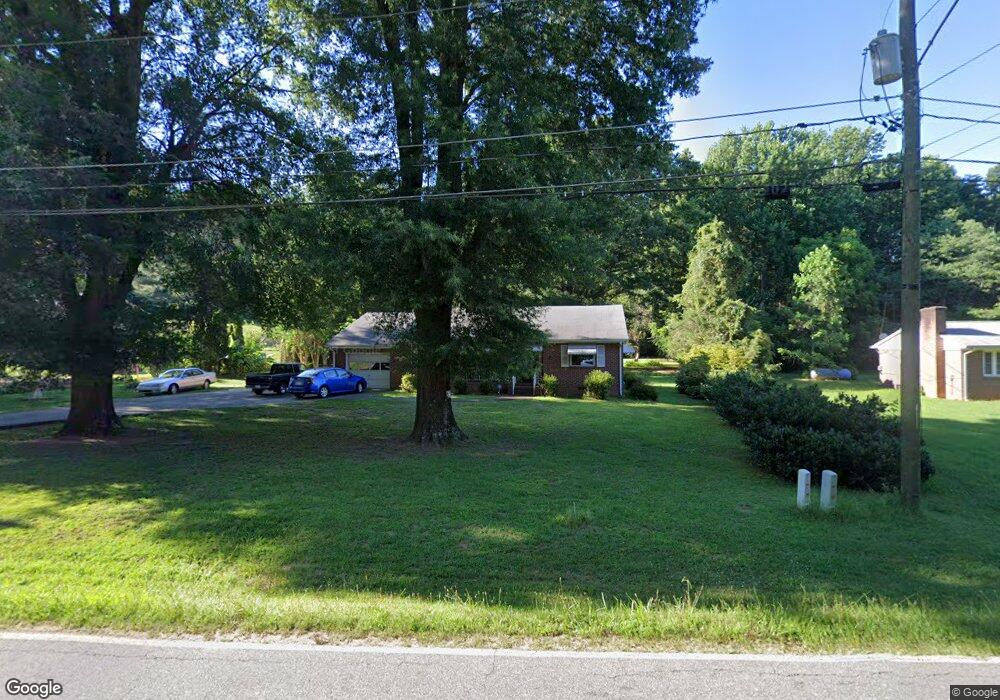
524 Robbins Rd Winston Salem, NC 27107
Estimated Value: $190,000 - $212,000
3
Beds
1
Bath
1,468
Sq Ft
$138/Sq Ft
Est. Value
About This Home
This home is located at 524 Robbins Rd, Winston Salem, NC 27107 and is currently estimated at $202,042, approximately $137 per square foot. 524 Robbins Rd is a home located in Forsyth County with nearby schools including Hall-Woodward Elementary School, Southeast Middle School, and R.B. Glenn High School.
Ownership History
Date
Name
Owned For
Owner Type
Purchase Details
Closed on
Jun 10, 2003
Sold by
Keomanideth Michael Khamsy
Bought by
Keomanideth Michael and Keomanideth Bonnie
Current Estimated Value
Home Financials for this Owner
Home Financials are based on the most recent Mortgage that was taken out on this home.
Original Mortgage
$58,000
Interest Rate
5.68%
Mortgage Type
Purchase Money Mortgage
Create a Home Valuation Report for This Property
The Home Valuation Report is an in-depth analysis detailing your home's value as well as a comparison with similar homes in the area
Home Values in the Area
Average Home Value in this Area
Purchase History
| Date | Buyer | Sale Price | Title Company |
|---|---|---|---|
| Keomanideth Michael | -- | -- |
Source: Public Records
Mortgage History
| Date | Status | Borrower | Loan Amount |
|---|---|---|---|
| Closed | Keomanideth Michael | $58,000 |
Source: Public Records
Tax History Compared to Growth
Tax History
| Year | Tax Paid | Tax Assessment Tax Assessment Total Assessment is a certain percentage of the fair market value that is determined by local assessors to be the total taxable value of land and additions on the property. | Land | Improvement |
|---|---|---|---|---|
| 2025 | $1,216 | $155,700 | $31,500 | $124,200 |
| 2024 | $1,216 | $90,800 | $29,000 | $61,800 |
| 2023 | $1,216 | $90,800 | $29,000 | $61,800 |
| 2022 | $1,193 | $90,800 | $29,000 | $61,800 |
| 2021 | $1,172 | $90,800 | $29,000 | $61,800 |
| 2020 | $1,094 | $79,200 | $18,200 | $61,000 |
| 2019 | $1,102 | $79,200 | $18,200 | $61,000 |
| 2018 | $1,046 | $79,200 | $18,200 | $61,000 |
| 2016 | $878 | $66,678 | $18,200 | $48,478 |
| 2015 | $864 | $66,678 | $18,200 | $48,478 |
| 2014 | $838 | $66,678 | $18,200 | $48,478 |
Source: Public Records
Map
Nearby Homes
- 3598 Robindale Dr
- 3544 Landis St SE
- 421 Robindale Ct
- 3538 Landis St SE
- Ashe Plan at Robindale
- Erie Plan at Robindale
- Camden Plan at Robindale
- Durham Plan at Robindale
- Avery Plan at Robindale
- Cary Plan at Robindale
- Carolina Plan at Robindale
- 3458 Robindale Dr
- 3532 Landis St SE
- 3428 Robindale Dr
- 3422 Robindale Dr
- 3471 Robindale Dr
- 3520 Landis St SE
- 3453 Robindale Dr
- 3447 Robindale Dr
- 3441 Robindale Dr
- 518 Robbins Rd
- 528 Robbins Rd
- 510 Robbins Rd
- 529 Robbins Rd
- 543 Robbins Rd
- 0 Robbins Rd
- 3703 High Point Rd
- 502 Robbins Rd
- 3599 High Point Rd
- 3595 Landis St
- 470 Robbins Rd
- 3592 Robindale Dr
- 3588 Robindale Dr
- 3575 Landis St
- 3560 Landis St
- 023b Robindale Dr SE
- 3565 Landis St
- 3580 Robindale Dr
- 466 Robbins Rd
- 3553 Landis St