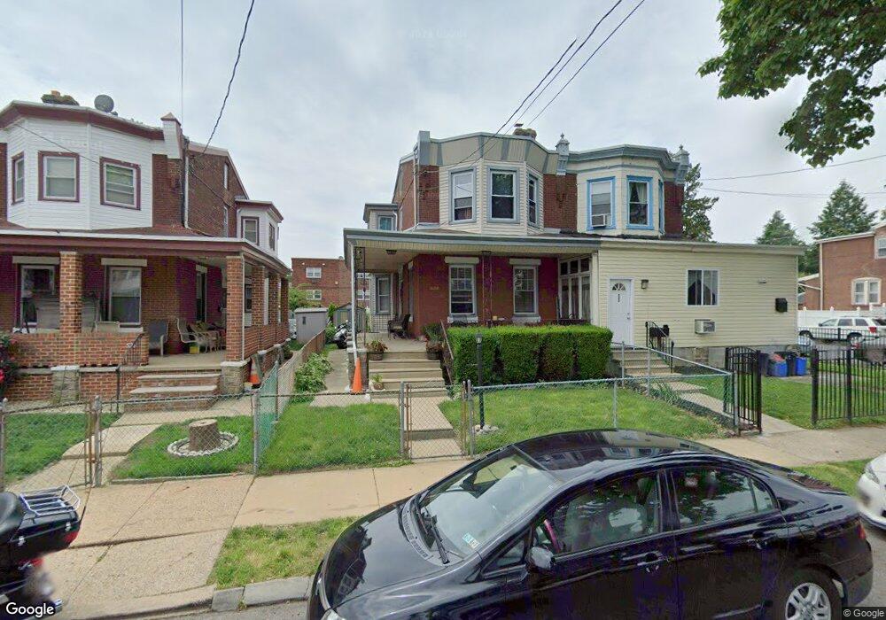
524 Robbins St Philadelphia, PA 19111
Lawncrest NeighborhoodEstimated Value: $260,773 - $312,000
--
Bed
--
Bath
1,500
Sq Ft
$191/Sq Ft
Est. Value
About This Home
This home is located at 524 Robbins St, Philadelphia, PA 19111 and is currently estimated at $285,943, approximately $190 per square foot. 524 Robbins St is a home located in Philadelphia County with nearby schools including J. Hampton Moore School, Castor Gardens Middle School, and Northeast High School.
Ownership History
Date
Name
Owned For
Owner Type
Purchase Details
Closed on
Jul 2, 2002
Sold by
Childs Malik and Childs Tina
Bought by
Childs Malik
Current Estimated Value
Home Financials for this Owner
Home Financials are based on the most recent Mortgage that was taken out on this home.
Original Mortgage
$91,250
Outstanding Balance
$38,738
Interest Rate
6.73%
Mortgage Type
VA
Estimated Equity
$247,205
Purchase Details
Closed on
Jul 23, 1999
Sold by
Kwortnick William J and Kwortnick Linda M
Bought by
Childs Malik and Childs Tina
Create a Home Valuation Report for This Property
The Home Valuation Report is an in-depth analysis detailing your home's value as well as a comparison with similar homes in the area
Home Values in the Area
Average Home Value in this Area
Purchase History
| Date | Buyer | Sale Price | Title Company |
|---|---|---|---|
| Childs Malik | -- | -- | |
| Childs Malik | $88,500 | -- |
Source: Public Records
Mortgage History
| Date | Status | Borrower | Loan Amount |
|---|---|---|---|
| Open | Childs Malik | $91,250 |
Source: Public Records
Tax History Compared to Growth
Tax History
| Year | Tax Paid | Tax Assessment Tax Assessment Total Assessment is a certain percentage of the fair market value that is determined by local assessors to be the total taxable value of land and additions on the property. | Land | Improvement |
|---|---|---|---|---|
| 2025 | $2,791 | $248,400 | $49,680 | $198,720 |
| 2024 | $2,791 | $248,400 | $49,680 | $198,720 |
| 2023 | $2,791 | $199,400 | $39,880 | $159,520 |
| 2022 | $2,175 | $199,400 | $39,880 | $159,520 |
| 2021 | $2,175 | $0 | $0 | $0 |
| 2020 | $2,175 | $0 | $0 | $0 |
| 2019 | $2,087 | $0 | $0 | $0 |
| 2018 | $1,914 | $0 | $0 | $0 |
| 2017 | $1,914 | $0 | $0 | $0 |
| 2016 | $1,914 | $0 | $0 | $0 |
| 2015 | $1,832 | $0 | $0 | $0 |
| 2014 | -- | $136,700 | $48,145 | $88,555 |
| 2012 | -- | $20,032 | $5,358 | $14,674 |
Source: Public Records
Map
Nearby Homes
- 615 Robbins St
- 6313 Bingham St
- 6126-28 Bingham St
- 6253 Lawndale Ave
- 6339 Bingham St
- 454 Devereaux Ave
- 6111 Palmetto St
- 6101 Colgate St
- 6424 Bingham St
- 6040 Lawndale Ave
- 354 Devereaux Ave
- 6422 Argyle St
- 6324 Shelbourne St
- 318 Devereaux Ave
- 5943 Malta St
- 5939 Malta St
- 5934 Palmetto St
- 335 Passmore St
- 6162 Hasbrook Ave
- 6340 Martins Mill Rd
- 522 Robbins St
- 526 Robbins St
- 528 Robbins St
- 530 Robbins St
- 532 Robbins St
- 520 Robbins St
- 529-31 Mckinley St
- 529 Mckinley St
- 529 McKinley Street 31
- 518 Robbins St
- 534 Robbins St
- 537 Mckinley St
- 516 Robbins St
- 521 Mckinley St
- 541 Mckinley St
- 536 Robbins St
- 519 Robbins St
- 517 Robbins St
- 519 Mckinley St
- 543 Mckinley St Unit 1