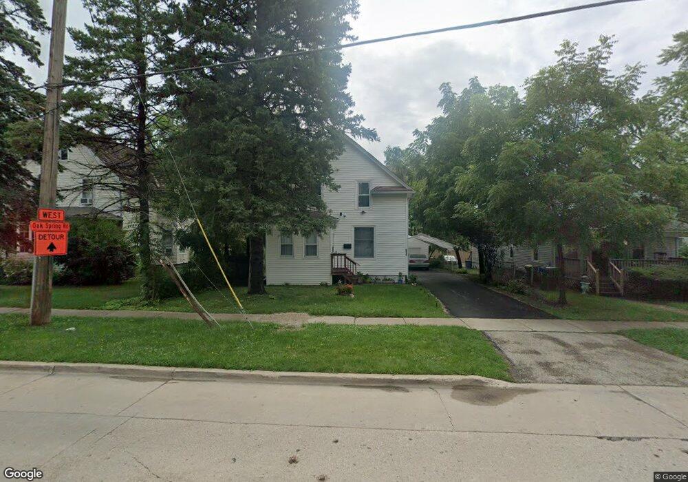
524 Second St Libertyville, IL 60048
Estimated Value: $316,000 - $383,000
3
Beds
2
Baths
1,500
Sq Ft
$232/Sq Ft
Est. Value
About This Home
This home is located at 524 Second St, Libertyville, IL 60048 and is currently estimated at $347,333, approximately $231 per square foot. 524 Second St is a home located in Lake County with nearby schools including Butterfield School, Highland Middle School, and Libertyville High School.
Ownership History
Date
Name
Owned For
Owner Type
Purchase Details
Closed on
Mar 13, 2023
Sold by
Community Partners For Affordable Housin
Bought by
Lcrdc-Single Family Llc
Current Estimated Value
Purchase Details
Closed on
Sep 16, 2022
Sold by
Cerveny Bonnie
Bought by
Bonnie S Cerveny Living Trust and Cerveny
Purchase Details
Closed on
Dec 28, 2007
Sold by
Dietz Leslie and Estate Of Rosemary Matousek
Bought by
Cerveny Bonnie
Create a Home Valuation Report for This Property
The Home Valuation Report is an in-depth analysis detailing your home's value as well as a comparison with similar homes in the area
Home Values in the Area
Average Home Value in this Area
Purchase History
| Date | Buyer | Sale Price | Title Company |
|---|---|---|---|
| Lcrdc-Single Family Llc | -- | None Listed On Document | |
| Community Partners For Affordable Housing | $280,000 | First American Title | |
| Bonnie S Cerveny Living Trust | -- | None Listed On Document | |
| Cerveny Bonnie | $140,000 | Ticor Title Insurance Co |
Source: Public Records
Tax History
| Year | Tax Paid | Tax Assessment Tax Assessment Total Assessment is a certain percentage of the fair market value that is determined by local assessors to be the total taxable value of land and additions on the property. | Land | Improvement |
|---|---|---|---|---|
| 2024 | $6,734 | $93,324 | $40,398 | $52,926 |
| 2023 | $6,676 | $83,614 | $37,261 | $46,353 |
| 2022 | $6,676 | $83,468 | $58,009 | $25,459 |
| 2021 | $6,432 | $81,671 | $56,760 | $24,911 |
| 2020 | $6,194 | $80,298 | $55,806 | $24,492 |
| 2019 | $6,039 | $79,534 | $55,275 | $24,259 |
| 2018 | $6,123 | $83,306 | $57,500 | $25,806 |
| 2017 | $6,087 | $80,676 | $55,685 | $24,991 |
| 2016 | $5,854 | $76,492 | $52,797 | $23,695 |
| 2015 | $5,818 | $71,495 | $49,348 | $22,147 |
| 2014 | $5,534 | $65,310 | $45,079 | $20,231 |
| 2012 | $5,331 | $67,223 | $46,399 | $20,824 |
Source: Public Records
Map
Nearby Homes
- 310 E Church St Unit 101
- 609 1st St
- 217 E Church St
- 601 Broadway St
- 121 4th St
- 212 W Maple Ave
- 226 W Maple Ave
- 220 W Maple Ave
- 332 Brainerd Ave
- 330 Brainerd Ave
- 119 E Ellis Ave
- 1211 Parliament Ct
- 749 E Sunnyside Ave
- 505 Lange Ct
- 204 W Ellis Ave
- 208 W Ellis Ave
- 212 W Ellis Ave
- 721 Meadow Ln
- 1754 Glenmore Rd
- 308 Mckinley Ave