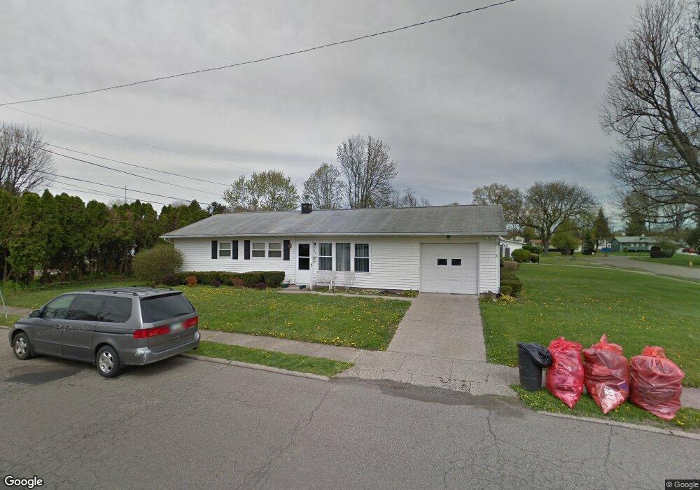
524 W Shields St Newark, OH 43055
Estimated Value: $194,412 - $204,000
3
Beds
1
Bath
1,100
Sq Ft
$180/Sq Ft
Est. Value
About This Home
This home is located at 524 W Shields St, Newark, OH 43055 and is currently estimated at $198,103, approximately $180 per square foot. 524 W Shields St is a home located in Licking County with nearby schools including John Clem Elementary School, Liberty Middle School, and Newark High School.
Ownership History
Date
Name
Owned For
Owner Type
Purchase Details
Closed on
Jun 5, 2025
Sold by
Wooddell Wayne V and Wooddell Patricia N
Bought by
Iag Ltd
Current Estimated Value
Purchase Details
Closed on
Mar 1, 2021
Sold by
Wymer Floyd E and Floyd Wymer Family Trust
Bought by
Wooddell Wayne V and Wooddell Patricia N
Purchase Details
Closed on
Jan 25, 2021
Sold by
Wymer Floyd and The Martha Wymer Trust
Bought by
Wymer Floyd E
Purchase Details
Closed on
Jan 26, 1999
Sold by
Kraft Marian L
Bought by
Wymer Floyd E
Create a Home Valuation Report for This Property
The Home Valuation Report is an in-depth analysis detailing your home's value as well as a comparison with similar homes in the area
Home Values in the Area
Average Home Value in this Area
Purchase History
| Date | Buyer | Sale Price | Title Company |
|---|---|---|---|
| Iag Ltd | -- | Cbus Title Agency | |
| Wooddell Wayne V | $135,000 | None Available | |
| Wymer Floyd E | -- | None Available | |
| Wymer Floyd E | $70,000 | -- |
Source: Public Records
Tax History
| Year | Tax Paid | Tax Assessment Tax Assessment Total Assessment is a certain percentage of the fair market value that is determined by local assessors to be the total taxable value of land and additions on the property. | Land | Improvement |
|---|---|---|---|---|
| 2024 | $1,771 | $48,270 | $14,600 | $33,670 |
| 2023 | $1,768 | $48,270 | $14,600 | $33,670 |
| 2022 | $1,520 | $36,930 | $8,370 | $28,560 |
| 2021 | $1,595 | $36,930 | $8,370 | $28,560 |
| 2020 | $1,631 | $36,930 | $8,370 | $28,560 |
| 2019 | $1,343 | $29,260 | $7,280 | $21,980 |
| 2018 | $1,344 | $0 | $0 | $0 |
| 2017 | $1,287 | $0 | $0 | $0 |
| 2016 | $1,150 | $0 | $0 | $0 |
| 2015 | $1,175 | $0 | $0 | $0 |
| 2014 | $1,465 | $0 | $0 | $0 |
| 2013 | $1,240 | $0 | $0 | $0 |
Source: Public Records
Map
Nearby Homes
- 188 Meadow Dr
- 184 Meadow Dr
- 476 W Shields St
- 469 King Ct
- 565 Granville St
- 584 Moull St Unit A
- 574 Blakeley Place Unit 574
- 792 Stone Ridge Way Unit 792
- 632 Moull St
- 361 Granville St
- 385 Woods Ave
- 946 Lateglow Ct
- 355 Eddy St
- 293 Merchant St
- 189 N Quentin Rd
- 218 Granville St
- 1008 Kingsbury Ct Unit 1008
- 185 N 10th St
- 122 W Shields St
- 979 Granville Rd
- 733 Karen Pkwy
- 525 W Shields St
- 739 Karen Pkwy
- 750 Meadow Dr
- 756 Meadow Dr
- 508 W Shields St
- 709 Karen Pkwy
- 742 Meadow Dr
- 762 Meadow Dr
- 745 Karen Pkwy
- 738 Karen Pkwy
- 710 Karen Pkwy
- 736 Meadow Dr
- 768 Meadow Dr
- 703 Karen Pkwy
- 507 Deerfield Dr
- 507 W Shields St
- 500 W Shields St
- 751 Karen Pkwy
- 730 Meadow Dr
Your Personal Tour Guide
Ask me questions while you tour the home.