5240 Taurus Cir Anchorage, AK 99516
Rabbit Creek NeighborhoodEstimated Value: $730,000 - $1,006,000
3
Beds
3
Baths
2,211
Sq Ft
$404/Sq Ft
Est. Value
About This Home
This home is located at 5240 Taurus Cir, Anchorage, AK 99516 and is currently estimated at $893,909, approximately $404 per square foot. 5240 Taurus Cir is a home located in Anchorage Municipality with nearby schools including Bear Valley Elementary School, Goldenview Middle School, and South Anchorage High School.
Ownership History
Date
Name
Owned For
Owner Type
Purchase Details
Closed on
Apr 24, 2020
Sold by
Lounsbury Richard
Bought by
Richard Lounsbury Living Trust
Current Estimated Value
Home Financials for this Owner
Home Financials are based on the most recent Mortgage that was taken out on this home.
Original Mortgage
$555,500
Interest Rate
3.3%
Mortgage Type
New Conventional
Create a Home Valuation Report for This Property
The Home Valuation Report is an in-depth analysis detailing your home's value as well as a comparison with similar homes in the area
Home Values in the Area
Average Home Value in this Area
Purchase History
| Date | Buyer | Sale Price | Title Company |
|---|---|---|---|
| Richard Lounsbury Living Trust | -- | None Available |
Source: Public Records
Mortgage History
| Date | Status | Borrower | Loan Amount |
|---|---|---|---|
| Closed | Richard Lounsbury Living Trust | $555,500 |
Source: Public Records
Tax History
| Year | Tax Paid | Tax Assessment Tax Assessment Total Assessment is a certain percentage of the fair market value that is determined by local assessors to be the total taxable value of land and additions on the property. | Land | Improvement |
|---|---|---|---|---|
| 2025 | $9,240 | $830,300 | $199,700 | $630,600 |
| 2024 | $9,240 | $825,600 | $188,600 | $637,000 |
| 2023 | $12,191 | $764,300 | $180,600 | $583,700 |
| 2022 | $8,662 | $738,000 | $180,600 | $557,400 |
| 2021 | $12,260 | $709,900 | $180,600 | $529,300 |
| 2020 | $7,226 | $656,100 | $180,600 | $475,500 |
| 2019 | $7,150 | $659,800 | $180,600 | $479,200 |
| 2018 | $6,928 | $645,800 | $187,000 | $458,800 |
| 2017 | $7,157 | $639,600 | $179,200 | $460,400 |
| 2016 | $6,800 | $643,900 | $179,200 | $464,700 |
| 2015 | $6,800 | $615,400 | $175,200 | $440,200 |
| 2014 | $6,800 | $622,000 | $175,200 | $446,800 |
Source: Public Records
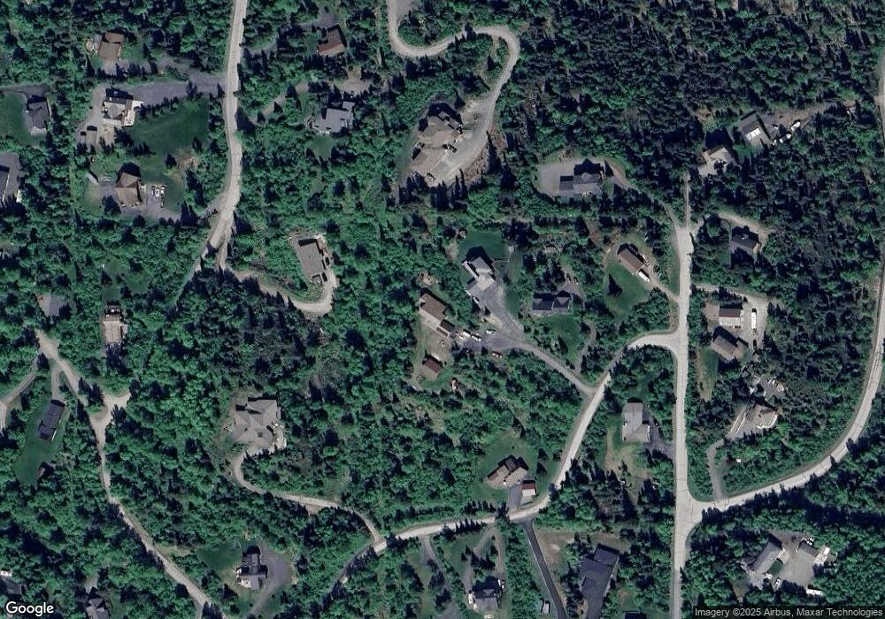
Map
Nearby Homes
- L4 Stoneridge Rd
- L9 & L10 Feodosia Dr
- L9 Feodosia Dr
- L10 Feodosia Dr
- 17250 Marijane St
- 5424 Cape Seville Dr
- 5308 Cape Seville Dr
- 5620 Kallander Ave
- 16957 Bedford Chase Cir
- 000 Prominence Pointe Dr
- 000 Essex Park Dr
- 16136 Noble Point Dr
- 16003 Sunset Bend Cir
- L2B Golden View Dr
- 5111 Cape Seville Dr
- 5041 Cape Seville Dr
- L2 B6 Prominence Pointe Dr
- 16612 Waterford Pointe Cir
- 16037 Terracewood Ln
- 16669 Waterford Pointe Cir
- 5241 Taurus Cir
- L3 B3 Taurus Cir
- 5201 Taurus Cir
- 5231 Davis Dr
- 16753 Betty St
- 5137 Davis Dr
- 16740 Bettijean St
- 16800 Bettijean St
- 5137 Celtic Dr
- L3 B7 Celtic Dr
- L3 B1 Celtic Dr
- L3B1 Celtic Dr
- NHN Virgo Ave
- 16701 Virgo Ave
- 16910 Bettijean St
- 5340 Celtic Dr
- 16901 Belarde
- 5230 Davis Dr
- 16851 Bettijean St
- 16541 Betty St
Your Personal Tour Guide
Ask me questions while you tour the home.