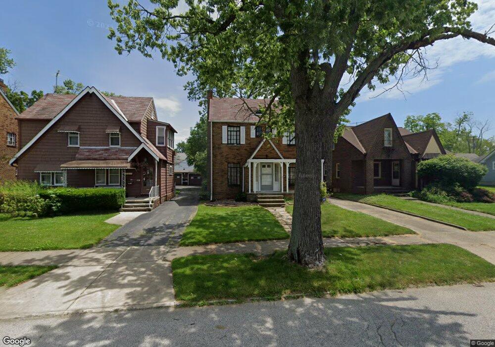
5241 Philip Ave Maple Heights, OH 44137
Estimated Value: $114,612 - $132,000
3
Beds
1
Bath
1,467
Sq Ft
$84/Sq Ft
Est. Value
About This Home
This home is located at 5241 Philip Ave, Maple Heights, OH 44137 and is currently estimated at $122,653, approximately $83 per square foot. 5241 Philip Ave is a home located in Cuyahoga County with nearby schools including Abraham Lincoln Elementary School, Rockside/ J.F. Kennedy School, and Barack Obama School.
Ownership History
Date
Name
Owned For
Owner Type
Purchase Details
Closed on
Jul 19, 2019
Sold by
Adams Renee
Bought by
Adams Artara A
Current Estimated Value
Purchase Details
Closed on
Sep 22, 1989
Sold by
Guttmann Andrew T and Guttmann Margaret
Bought by
Adams Artara C
Purchase Details
Closed on
Jan 1, 1975
Bought by
Guttmann Andrew T and Guttmann Margaret
Create a Home Valuation Report for This Property
The Home Valuation Report is an in-depth analysis detailing your home's value as well as a comparison with similar homes in the area
Home Values in the Area
Average Home Value in this Area
Purchase History
| Date | Buyer | Sale Price | Title Company |
|---|---|---|---|
| Adams Artara A | $25,400 | None Available | |
| Adams Artara C | $65,900 | -- | |
| Guttmann Andrew T | -- | -- |
Source: Public Records
Tax History Compared to Growth
Tax History
| Year | Tax Paid | Tax Assessment Tax Assessment Total Assessment is a certain percentage of the fair market value that is determined by local assessors to be the total taxable value of land and additions on the property. | Land | Improvement |
|---|---|---|---|---|
| 2024 | $3,467 | $38,815 | $7,140 | $31,675 |
| 2023 | $3,255 | $23,450 | $4,340 | $19,110 |
| 2022 | $2,475 | $23,450 | $4,340 | $19,110 |
| 2021 | $2,639 | $23,450 | $4,340 | $19,110 |
| 2020 | $2,254 | $17,780 | $3,290 | $14,490 |
| 2019 | $2,242 | $50,800 | $9,400 | $41,400 |
| 2018 | $2,230 | $17,780 | $3,290 | $14,490 |
| 2017 | $2,106 | $16,240 | $3,010 | $13,230 |
| 2016 | $2,038 | $16,240 | $3,010 | $13,230 |
| 2015 | $2,042 | $16,240 | $3,010 | $13,230 |
| 2014 | $2,042 | $17,860 | $3,330 | $14,530 |
Source: Public Records
Map
Nearby Homes
- 5257 Philip Ave
- 5231 Philip Ave
- 5212 Catherine St
- 5185 Clement Ave
- 5208 Clement Ave
- 5239 Arch St
- 5320 Clement Ave
- 5199 Arch St
- 5110 Philip Ave
- 17916 North Blvd
- 17912 North Blvd
- 5082 Philip Ave
- 5234 Erwin St
- 17204 Maple Heights Blvd
- 5061 Philip Ave
- 5425 Grasmere Ave
- 5210 Theodore St
- 5031 Cato St
- 5493 Thomas St
- 5540 Dalewood Ave
- 5237 Philip Ave
- 5247 Philip Ave
- 5235 Philip Ave
- 5253 Philip Ave
- 5238 Thomas St
- 5234 Thomas St
- 5250 Thomas St
- 5227 Philip Ave
- 5230 Thomas St
- 5254 Thomas St
- 5242 Philip Ave
- 5238 Philip Ave
- 5246 Philip Ave
- 5221 Philip Ave
- 5234 Philip Ave
- 5250 Philip Ave
- 5224 Thomas St
- 5254 Philip Ave
- 5230 Philip Ave
- 5217 Philip Ave