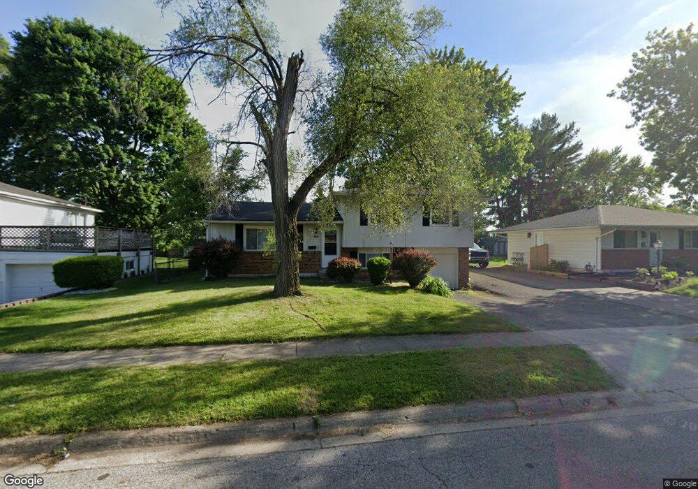
5241 Tuxworth Dr Columbus, OH 43232
East Columbus-White Ash NeighborhoodEstimated Value: $188,000 - $211,000
3
Beds
1
Bath
1,164
Sq Ft
$170/Sq Ft
Est. Value
About This Home
This home is located at 5241 Tuxworth Dr, Columbus, OH 43232 and is currently estimated at $197,468, approximately $169 per square foot. 5241 Tuxworth Dr is a home located in Franklin County with nearby schools including Groveport Madison High School, A+ Arts Academy, and Eastland Preparatory Academy.
Ownership History
Date
Name
Owned For
Owner Type
Purchase Details
Closed on
Apr 1, 2009
Sold by
Secretary Of Housing & Urban Development
Bought by
Inthisarn Ratchanee
Current Estimated Value
Purchase Details
Closed on
Jul 30, 2007
Sold by
Henderson Marlene L and Midfirst Bank
Bought by
Hud
Purchase Details
Closed on
Oct 17, 1989
Create a Home Valuation Report for This Property
The Home Valuation Report is an in-depth analysis detailing your home's value as well as a comparison with similar homes in the area
Home Values in the Area
Average Home Value in this Area
Purchase History
| Date | Buyer | Sale Price | Title Company |
|---|---|---|---|
| Inthisarn Ratchanee | $32,200 | Lakeside Ti | |
| Hud | $64,000 | None Available | |
| -- | $63,900 | -- |
Source: Public Records
Tax History Compared to Growth
Tax History
| Year | Tax Paid | Tax Assessment Tax Assessment Total Assessment is a certain percentage of the fair market value that is determined by local assessors to be the total taxable value of land and additions on the property. | Land | Improvement |
|---|---|---|---|---|
| 2024 | $4,282 | $57,230 | $16,280 | $40,950 |
| 2023 | $2,815 | $57,230 | $16,280 | $40,950 |
| 2022 | $1,893 | $30,530 | $6,060 | $24,470 |
| 2021 | $1,965 | $30,530 | $6,060 | $24,470 |
| 2020 | $1,940 | $30,530 | $6,060 | $24,470 |
| 2019 | $1,922 | $26,600 | $5,250 | $21,350 |
| 2018 | $1,962 | $26,600 | $5,250 | $21,350 |
| 2017 | $1,967 | $26,600 | $5,250 | $21,350 |
| 2016 | $1,988 | $25,270 | $3,920 | $21,350 |
| 2015 | $1,991 | $25,270 | $3,920 | $21,350 |
| 2014 | $1,829 | $25,270 | $3,920 | $21,350 |
| 2013 | $885 | $28,070 | $4,340 | $23,730 |
Source: Public Records
Map
Nearby Homes
- 5125 Upton Rd N
- 2998 Osgood Rd E
- 3000 Whitlow Rd
- 3246 Latonia Rd
- 2901 Renfro Rd
- 5373 Spire Ln
- 3387 Retriever Rd
- 5152 Burdett Dr
- 2900 Ronda Rd
- 5401 Spire Ln
- 5397 Jack Russell Way
- 4847 Amber Crossing Dr
- 4784 Nieles Edge Dr
- 4783 Nieles Edge Dr
- 5137 Holbrook Dr
- 5254 Sedalia Dr
- 4906 Refugee Rd
- 5377 Bleaker Ave
- 5522 Newport Ct
- 3289 Kady Ln
- 5233 Tuxworth Dr
- 5249 Tuxworth Dr
- 5262 Sundale Place N
- 5225 Tuxworth Dr
- 5261 Tuxworth Dr
- 5270 Sundale Place N
- 5244 Tuxworth Dr
- 3119 Sundale Place W
- 5236 Tuxworth Dr
- 5273 Tuxworth Dr
- 5252 Tuxworth Dr
- 5278 Sundale Place N
- 5228 Tuxworth Dr
- 5213 Tuxworth Dr
- 3088 Dunloe Rd
- 5264 Tuxworth Dr
- 3100 Dunloe Rd
- 5218 Tuxworth Dr
- 5290 Sundale Place N
- 5281 Tuxworth Dr