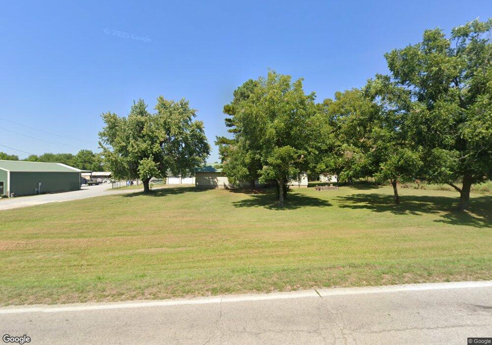
5243 E Highway 412 Locust Grove, OK 74352
Estimated Value: $199,000 - $303,000
3
Beds
2
Baths
1,764
Sq Ft
$156/Sq Ft
Est. Value
About This Home
This home is located at 5243 E Highway 412, Locust Grove, OK 74352 and is currently estimated at $275,427, approximately $156 per square foot. 5243 E Highway 412 is a home located in Mayes County with nearby schools including Locust Grove Early Lrning Center, Locust Grove Upper Elementary School, and Locust Grove Middle School.
Ownership History
Date
Name
Owned For
Owner Type
Purchase Details
Closed on
Jan 19, 2017
Sold by
Powell Tommy Joel and Powell Kathryn Denise
Bought by
Pendergraft Michael and Pendergraft Robin Lynn
Current Estimated Value
Home Financials for this Owner
Home Financials are based on the most recent Mortgage that was taken out on this home.
Original Mortgage
$115,038
Interest Rate
4.13%
Mortgage Type
Future Advance Clause Open End Mortgage
Purchase Details
Closed on
Aug 14, 2006
Sold by
Edens Leon and Edens Opal Jane
Bought by
Powell Tommy Joel
Home Financials for this Owner
Home Financials are based on the most recent Mortgage that was taken out on this home.
Original Mortgage
$23,000
Interest Rate
6.78%
Mortgage Type
Seller Take Back
Create a Home Valuation Report for This Property
The Home Valuation Report is an in-depth analysis detailing your home's value as well as a comparison with similar homes in the area
Purchase History
| Date | Buyer | Sale Price | Title Company |
|---|---|---|---|
| Pendergraft Michael | $112,000 | None Available | |
| Powell Tommy Joel | $115,000 | None Available |
Source: Public Records
Mortgage History
| Date | Status | Borrower | Loan Amount |
|---|---|---|---|
| Closed | Pendergraft Michael | $115,038 | |
| Previous Owner | Powell Tommy Joel | $23,000 |
Source: Public Records
Tax History
| Year | Tax Paid | Tax Assessment Tax Assessment Total Assessment is a certain percentage of the fair market value that is determined by local assessors to be the total taxable value of land and additions on the property. | Land | Improvement |
|---|---|---|---|---|
| 2025 | $3,174 | $34,182 | $4,200 | $29,982 |
| 2024 | $3,028 | $32,554 | $4,104 | $28,450 |
| 2023 | $3,028 | $31,004 | $3,711 | $27,293 |
| 2022 | $2,121 | $23,506 | $2,800 | $20,706 |
| 2021 | $2,063 | $22,387 | $2,800 | $19,587 |
| 2020 | $1,994 | $21,321 | $3,369 | $17,952 |
| 2019 | $1,901 | $20,306 | $2,800 | $17,506 |
| 2018 | $1,198 | $12,544 | $3,987 | $8,557 |
| 2017 | $1,287 | $14,470 | $3,987 | $10,483 |
| 2016 | $1,257 | $14,470 | $3,987 | $10,483 |
| 2015 | $1,297 | $14,470 | $3,987 | $10,483 |
| 2014 | $1,257 | $14,053 | $3,570 | $10,483 |
Source: Public Records
Map
Nearby Homes
- 5225 E Highway 412
- 5157 E Highway 412
- 5191 E Highway 412
- 5191 U S 412
- 5393 E Highway 412
- 5121 E Highway 412
- 5415 E Highway 412
- 5109 E Highway 412
- 8080 S 4392
- 5399 E Highway 412
- 5449 E Highway 412
- 8160 S 4392
- 8192 S 4392
- 5043 E Highway 412
- 5040 E Highway 412
- 5495 E Highway 412
- 5004 E Highway 412
- 5544 E Dan P Holmes Expy
- 5544 E Highway 412
- 5017 E Highway 412
Your Personal Tour Guide
Ask me questions while you tour the home.