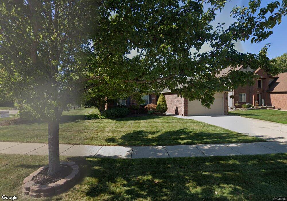
52435 Bree Dr New Baltimore, MI 48047
Estimated Value: $339,000 - $439,000
Studio
1
Bath
1,719
Sq Ft
$222/Sq Ft
Est. Value
About This Home
This home is located at 52435 Bree Dr, New Baltimore, MI 48047 and is currently estimated at $382,403, approximately $222 per square foot. 52435 Bree Dr is a home located in Macomb County with nearby schools including Lighthouse Elementary School, Anchor Bay Middle School North, and Anchor Bay High School.
Ownership History
Date
Name
Owned For
Owner Type
Purchase Details
Closed on
Mar 16, 2015
Sold by
Myszynski Jill
Bought by
Myszynski Jeffrey J
Current Estimated Value
Home Financials for this Owner
Home Financials are based on the most recent Mortgage that was taken out on this home.
Original Mortgage
$179,200
Outstanding Balance
$136,639
Interest Rate
3.56%
Mortgage Type
New Conventional
Estimated Equity
$245,764
Purchase Details
Closed on
Aug 24, 2001
Sold by
Trimarr Incorporated
Bought by
Myszynski Jeffrey
Create a Home Valuation Report for This Property
The Home Valuation Report is an in-depth analysis detailing your home's value as well as a comparison with similar homes in the area
Home Values in the Area
Average Home Value in this Area
Purchase History
| Date | Buyer | Sale Price | Title Company |
|---|---|---|---|
| Myszynski Jeffrey J | -- | None Available | |
| Myszynski Jeffrey | $45,000 | -- |
Source: Public Records
Mortgage History
| Date | Status | Borrower | Loan Amount |
|---|---|---|---|
| Open | Myszynski Jeffrey J | $179,200 |
Source: Public Records
Tax History
| Year | Tax Paid | Tax Assessment Tax Assessment Total Assessment is a certain percentage of the fair market value that is determined by local assessors to be the total taxable value of land and additions on the property. | Land | Improvement |
|---|---|---|---|---|
| 2025 | $3,704 | $165,400 | $0 | $0 |
| 2024 | $36 | $150,100 | $0 | $0 |
| 2023 | $3,437 | $141,100 | $0 | $0 |
| 2022 | $3,913 | $127,800 | $0 | $0 |
| 2021 | $3,767 | $122,600 | $0 | $0 |
| 2020 | $3,180 | $119,600 | $0 | $0 |
| 2019 | $3,588 | $111,800 | $0 | $0 |
| 2018 | $3,518 | $111,500 | $0 | $0 |
| 2017 | $3,510 | $102,700 | $24,400 | $78,300 |
| 2016 | $3,483 | $102,700 | $0 | $0 |
| 2015 | -- | $91,900 | $0 | $0 |
| 2014 | -- | $81,700 | $0 | $0 |
Source: Public Records
Map
Nearby Homes
- 52451 Washington St
- 52411 Washington St
- 52163 Base St
- 35950 Tamarack Ct
- 51604 Base St
- 35701 Strongford Dr Unit 51
- 54161 Carrigan Dr Unit 106
- 35962 Cascade Dr Unit 103
- 54261 Cascade Ct Unit 96
- 35689 Windridge Dr Unit 143
- 35910 Glenville Dr
- 35260 Bradford Dr
- 35704 Addison Dr
- 35873 Glenville Dr Unit 182
- 35603 Addison Dr Unit 166
- 51060 Blackwell St
- 36576 Lauren St
- 34521 Blue Spruce Rd
- 54941 Danielle St
- 36556 Orchard Lake Dr
- 52461 Bree Dr
- 35403 Harrison St
- 52500 Washington St
- 52477 Bree Dr
- 35416 Harrison St
- 35441 Harrison St
- 35448 Wilson St
- 35389 Harrison St
- 35402 Harrison St
- 52499 Bree Dr
- 35388 Harrison St
- 35453 Harrison St
- 35462 Wilson St
- 35377 Harrison St
- 35450 Harrison St
- 35449 Wilson St
- 35438 Harrison St
- 52523 Bree Dr
- 35376 Harrison St
- 35474 Wilson St
Your Personal Tour Guide
Ask me questions while you tour the home.