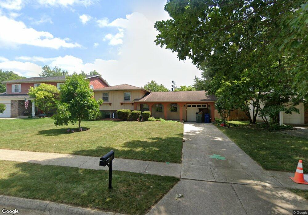
5244 Rockport St Columbus, OH 43235
The Gables NeighborhoodEstimated Value: $313,600 - $421,000
4
Beds
3
Baths
1,068
Sq Ft
$361/Sq Ft
Est. Value
About This Home
This home is located at 5244 Rockport St, Columbus, OH 43235 and is currently estimated at $385,900, approximately $361 per square foot. 5244 Rockport St is a home located in Franklin County with nearby schools including Gables Elementary School, Ridgeview Middle School, and Centennial High School.
Ownership History
Date
Name
Owned For
Owner Type
Purchase Details
Closed on
Apr 3, 1990
Bought by
Klunk Timothy J and Klunk Mary M
Current Estimated Value
Purchase Details
Closed on
Apr 26, 1989
Create a Home Valuation Report for This Property
The Home Valuation Report is an in-depth analysis detailing your home's value as well as a comparison with similar homes in the area
Home Values in the Area
Average Home Value in this Area
Purchase History
| Date | Buyer | Sale Price | Title Company |
|---|---|---|---|
| Klunk Timothy J | $87,800 | -- | |
| -- | -- | -- |
Source: Public Records
Tax History Compared to Growth
Tax History
| Year | Tax Paid | Tax Assessment Tax Assessment Total Assessment is a certain percentage of the fair market value that is determined by local assessors to be the total taxable value of land and additions on the property. | Land | Improvement |
|---|---|---|---|---|
| 2024 | $4,374 | $97,450 | $44,350 | $53,100 |
| 2023 | $4,318 | $97,450 | $44,350 | $53,100 |
| 2022 | $4,010 | $77,320 | $24,120 | $53,200 |
| 2021 | $4,017 | $77,320 | $24,120 | $53,200 |
| 2020 | $4,023 | $77,320 | $24,120 | $53,200 |
| 2019 | $3,714 | $61,220 | $19,290 | $41,930 |
| 2018 | $3,450 | $61,220 | $19,290 | $41,930 |
| 2017 | $3,616 | $61,220 | $19,290 | $41,930 |
| 2016 | $3,520 | $53,130 | $14,770 | $38,360 |
| 2015 | $3,195 | $53,130 | $14,770 | $38,360 |
| 2014 | $3,203 | $53,130 | $14,770 | $38,360 |
| 2013 | $1,505 | $50,610 | $14,070 | $36,540 |
Source: Public Records
Map
Nearby Homes
- 1213 Nantucket Ave
- 1246 Southport Dr
- 1161 Bethel Rd Unit 103/104
- 1147 Langland Dr
- 928 Linworth Village Dr
- 895 Linworth Village Dr
- 5363 Godown Rd
- 1540 Slade Ave Unit 303
- 1505 Eastmeadow Place
- 5773 Middlefield Dr
- 4710 Charecote Ln Unit D
- 5854 Aqua Bay Dr Unit 5854
- 1466 Weybridge Rd
- 1558 Denbigh Dr
- 1030 Galliton Ct Unit B
- 1046 Merrimar Cir N Unit B
- 5111 Portland St
- 5881 Rocky Rill Rd
- 4818 -4820 Winterset Dr
- 652 Olde Towne Ave Unit 9-652E
- 5252 Rockport St
- 5236 Rockport St
- 5264 Rockport St
- 5228 Rockport St
- 5257 Rockport St
- 5272 Rockport St
- 5239 Rockport St
- 5220 Rockport St
- 5231 Rockport St
- 5280 Rockport St
- 5223 Rockport St
- 5212 Rockport St
- 1103 Nantucket Ave
- 1094 Nantucket Ave
- 5211 Rockport St
- 1112 Cloverknoll Ct
- 5288 Rockport St
- 1115 Nantucket Ave
- 5204 Rockport St
- 1120 Cloverknoll Ct