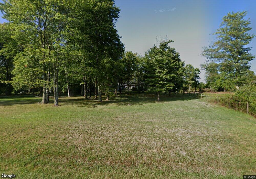
5245 Barr Rd SW Amanda, OH 43102
Estimated Value: $387,000 - $472,508
3
Beds
3
Baths
1,899
Sq Ft
$233/Sq Ft
Est. Value
About This Home
This home is located at 5245 Barr Rd SW, Amanda, OH 43102 and is currently estimated at $442,377, approximately $232 per square foot. 5245 Barr Rd SW is a home located in Fairfield County with nearby schools including Amanda-Clearcreek Primary School, Amanda-Clearcreek Elementary School, and Amanda-Clearcreek Middle School.
Ownership History
Date
Name
Owned For
Owner Type
Purchase Details
Closed on
Mar 3, 2006
Sold by
Gang Charles and Gang Judy
Bought by
Lewis Leonard R and Lewis Julianne M
Current Estimated Value
Home Financials for this Owner
Home Financials are based on the most recent Mortgage that was taken out on this home.
Original Mortgage
$185,000
Outstanding Balance
$104,863
Interest Rate
6.22%
Mortgage Type
Fannie Mae Freddie Mac
Estimated Equity
$337,514
Purchase Details
Closed on
Jul 7, 2005
Sold by
Citimortgage Inc
Bought by
Gang Charles and Gang Judy
Purchase Details
Closed on
May 20, 2005
Sold by
Burke Gary L
Bought by
Citimortgage Inc
Purchase Details
Closed on
Apr 1, 1990
Create a Home Valuation Report for This Property
The Home Valuation Report is an in-depth analysis detailing your home's value as well as a comparison with similar homes in the area
Home Values in the Area
Average Home Value in this Area
Purchase History
| Date | Buyer | Sale Price | Title Company |
|---|---|---|---|
| Lewis Leonard R | $233,000 | Amerititle East | |
| Gang Charles | $150,000 | Sovereign Title Agency Llc | |
| Citimortgage Inc | $225,000 | -- | |
| -- | $15,000 | -- |
Source: Public Records
Mortgage History
| Date | Status | Borrower | Loan Amount |
|---|---|---|---|
| Open | Lewis Leonard R | $185,000 |
Source: Public Records
Tax History Compared to Growth
Tax History
| Year | Tax Paid | Tax Assessment Tax Assessment Total Assessment is a certain percentage of the fair market value that is determined by local assessors to be the total taxable value of land and additions on the property. | Land | Improvement |
|---|---|---|---|---|
| 2024 | $7,322 | $125,600 | $27,590 | $98,010 |
| 2023 | $3,873 | $125,600 | $27,590 | $98,010 |
| 2022 | $3,887 | $125,600 | $27,590 | $98,010 |
| 2021 | $2,773 | $84,890 | $22,070 | $62,820 |
| 2020 | $2,875 | $84,890 | $22,070 | $62,820 |
| 2019 | $2,885 | $84,890 | $22,070 | $62,820 |
| 2018 | $2,447 | $68,430 | $20,180 | $48,250 |
| 2017 | $2,451 | $71,910 | $17,520 | $54,390 |
| 2016 | $2,080 | $71,910 | $17,520 | $54,390 |
| 2015 | $1,967 | $67,600 | $15,550 | $52,050 |
| 2014 | $1,941 | $67,600 | $15,550 | $52,050 |
| 2013 | $1,941 | $67,600 | $15,550 | $52,050 |
Source: Public Records
Map
Nearby Homes
- 10889 Ridge Rd SW
- 3990 Cedar Hill Rd SW
- 00 Cincinnati-Zanesville Rd SW
- 5440 Winchester Southern Rd Unit Lot 8
- 4535 Amanda Northern Rd SW
- 8485 Westfall Rd SW
- 19612 Ringgold Southern Rd
- 0 Fosnaugh School Rd SW Unit 225027365
- 20697 Greist Rd
- 11427 Brown St
- 11343 Main St
- 11660 Main St
- 9189 Maple St SW
- 3228 Chillicothe Lancaster Rd SW
- 0 Heigle Rd SW Unit 225034864
- 9605 Royalton Rd SW
- 00 Duncan Rd SW
- 0 State Route 188
- 8642 Water St
- 5445 S Duncan Rd SW
- 5269 Barr Rd SW
- 5234 Barr Rd SW
- 5258 Barr Rd SW
- 5303 Barr Rd SW
- 5290 Barr Rd SW
- 5200 Barr Rd SW
- 5195 Barr Rd SW
- 5327 Barr Rd SW
- 0 Barr Rd SW
- 5350 Barr Rd SW
- 5115 Barr Rd SW
- 5410 Barr Rd SW
- 5145 Barr Rd SW
- 5447 Barr Rd SW
- 5055 Barr Rd SW
- 10443 Ridge Rd SW
- 10401 Ridge Rd SW
- 5424 Barr Rd SW
- 10475 Ridge Rd SW
- 10515 Ridge Rd SW
