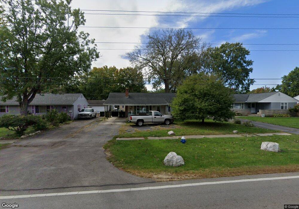
5245 Scioto Darby Rd Hilliard, OH 43026
Estimated Value: $254,617 - $282,000
3
Beds
1
Bath
950
Sq Ft
$287/Sq Ft
Est. Value
About This Home
This home is located at 5245 Scioto Darby Rd, Hilliard, OH 43026 and is currently estimated at $272,404, approximately $286 per square foot. 5245 Scioto Darby Rd is a home located in Franklin County with nearby schools including Scioto Darby Elementary School, Hilliard Station Sixth Grade Elementary School, and Hilliard Heritage Middle School.
Ownership History
Date
Name
Owned For
Owner Type
Purchase Details
Closed on
Aug 15, 2008
Sold by
Wade Anthony R and Wade Tiffany J
Bought by
Soper Mark J and Soper Miriam R
Current Estimated Value
Home Financials for this Owner
Home Financials are based on the most recent Mortgage that was taken out on this home.
Original Mortgage
$120,176
Interest Rate
6.57%
Mortgage Type
FHA
Purchase Details
Closed on
Aug 19, 2005
Sold by
Delong Nancy and Wade Family Revocable Living T
Bought by
Wade Anthony R and Wade Tiffany J
Home Financials for this Owner
Home Financials are based on the most recent Mortgage that was taken out on this home.
Original Mortgage
$125,050
Interest Rate
5.8%
Mortgage Type
Purchase Money Mortgage
Create a Home Valuation Report for This Property
The Home Valuation Report is an in-depth analysis detailing your home's value as well as a comparison with similar homes in the area
Home Values in the Area
Average Home Value in this Area
Purchase History
| Date | Buyer | Sale Price | Title Company |
|---|---|---|---|
| Soper Mark J | $127,000 | Lakeside | |
| Wade Anthony R | $130,000 | Premium Ti |
Source: Public Records
Mortgage History
| Date | Status | Borrower | Loan Amount |
|---|---|---|---|
| Previous Owner | Soper Mark J | $120,176 | |
| Previous Owner | Wade Anthony R | $125,050 |
Source: Public Records
Tax History
| Year | Tax Paid | Tax Assessment Tax Assessment Total Assessment is a certain percentage of the fair market value that is determined by local assessors to be the total taxable value of land and additions on the property. | Land | Improvement |
|---|---|---|---|---|
| 2025 | $5,457 | $78,960 | $22,330 | $56,630 |
| 2024 | $5,457 | $78,960 | $22,330 | $56,630 |
| 2023 | $4,475 | $78,960 | $22,330 | $56,630 |
| 2022 | $3,914 | $57,120 | $15,190 | $41,930 |
| 2021 | $4,225 | $57,120 | $15,190 | $41,930 |
| 2020 | $4,165 | $57,120 | $15,190 | $41,930 |
| 2019 | $3,958 | $45,610 | $12,150 | $33,460 |
| 2018 | $3,481 | $45,610 | $12,150 | $33,460 |
| 2017 | $3,722 | $45,610 | $12,150 | $33,460 |
| 2016 | $3,646 | $38,790 | $10,890 | $27,900 |
| 2015 | $3,165 | $38,790 | $10,890 | $27,900 |
| 2014 | $3,170 | $38,790 | $10,890 | $27,900 |
| 2013 | $1,609 | $38,780 | $10,885 | $27,895 |
Source: Public Records
Map
Nearby Homes
- 5190 Scioto Darby Rd
- 5176 Longview Dr
- 4977 Linkous Ct
- 3395 Reed Point Dr
- 5607 Brickstone Place Unit 75607
- 5613 Villa Gates Dr Unit 9
- 5660 Newington Dr
- 4863 Berry Leaf Place
- 3150 Hilliard Rome Rd
- 4568 Addison Ln N
- 4559 Addison Ln N
- 5082 Springdale Blvd Unit 31E
- 5288 Hyde Park Dr
- 2131 Melone Dr Unit Lot 369
- 4275 Wayne St
- 3045 Bohlen Dr
- 3250 Andrew James Dr
- 3474 Paxton Dr
- 3395 Heritage Oaks Dr
- 2921 Mondavi Ln
- 5241 Scioto Darby Rd
- 5253 Scioto Darby Rd
- 5235 Scioto Darby Rd
- 5255 Scioto Darby Rd
- 5270 Conklin Dr
- 5276 Conklin Dr
- 5262 Conklin Dr
- 5284 Conklin Dr
- 5254 Conklin Dr
- 5259 Scioto Darby Rd
- 5229 Scioto Darby Rd
- 5229 Scioto Darby Rd
- 5246 Scioto Darby Rd
- 5238 Scioto Darby Rd
- 5252 Scioto Darby Rd
- 5244 Conklin Dr
- 5292 Conklin Dr
- 5232 Scioto Darby Rd
- 5263 Scioto Darby Rd
- 5258 Scioto Darby Rd
Your Personal Tour Guide
Ask me questions while you tour the home.