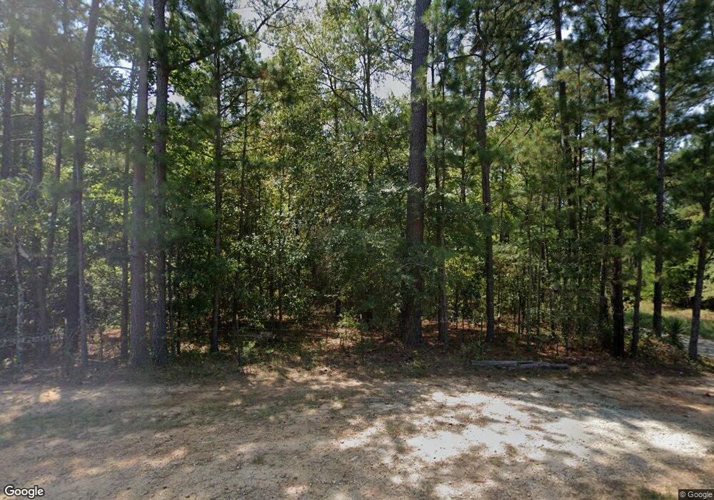
5246 Linder McCurdy Rd Appling, GA 30802
Estimated Value: $311,000 - $452,000
3
Beds
2
Baths
1,681
Sq Ft
$212/Sq Ft
Est. Value
About This Home
This home is located at 5246 Linder McCurdy Rd, Appling, GA 30802 and is currently estimated at $357,197, approximately $212 per square foot. 5246 Linder McCurdy Rd is a home located in Columbia County with nearby schools including North Columbia Elementary School, Greenbrier Middle School, and Greenbrier High School.
Ownership History
Date
Name
Owned For
Owner Type
Purchase Details
Closed on
May 8, 2009
Sold by
May Christine
Bought by
Kent Eric L
Current Estimated Value
Home Financials for this Owner
Home Financials are based on the most recent Mortgage that was taken out on this home.
Original Mortgage
$153,813
Outstanding Balance
$96,449
Interest Rate
4.79%
Mortgage Type
VA
Estimated Equity
$260,748
Create a Home Valuation Report for This Property
The Home Valuation Report is an in-depth analysis detailing your home's value as well as a comparison with similar homes in the area
Home Values in the Area
Average Home Value in this Area
Purchase History
| Date | Buyer | Sale Price | Title Company |
|---|---|---|---|
| Kent Eric L | $148,900 | -- |
Source: Public Records
Mortgage History
| Date | Status | Borrower | Loan Amount |
|---|---|---|---|
| Open | Kent Eric L | $153,813 |
Source: Public Records
Tax History Compared to Growth
Tax History
| Year | Tax Paid | Tax Assessment Tax Assessment Total Assessment is a certain percentage of the fair market value that is determined by local assessors to be the total taxable value of land and additions on the property. | Land | Improvement |
|---|---|---|---|---|
| 2025 | $2,621 | $111,934 | $42,252 | $69,682 |
| 2024 | $2,231 | $91,317 | $32,221 | $59,096 |
| 2023 | $1,290 | $70,246 | $14,925 | $55,321 |
| 2022 | $1,983 | $78,325 | $24,265 | $54,060 |
| 2021 | $1,677 | $63,674 | $14,925 | $48,749 |
| 2020 | $1,698 | $63,121 | $14,925 | $48,196 |
| 2019 | $1,702 | $63,289 | $14,925 | $48,364 |
| 2018 | $1,632 | $60,538 | $14,925 | $45,613 |
| 2017 | $1,634 | $60,405 | $14,579 | $45,826 |
| 2016 | $1,399 | $53,902 | $12,253 | $41,649 |
| 2015 | $1,392 | $53,563 | $12,945 | $40,618 |
| 2014 | $1,352 | $51,478 | $12,253 | $39,225 |
Source: Public Records
Map
Nearby Homes
- 0 Linder McCurdy Rd
- 850 Captain John Brown Rd
- Tbd Dew Drop Inn Rd
- 154 Lori Ln
- 5601 Burks Mountain Rd Unit 12
- 266 Woodhaven Dr
- 478 Bonaventure Way
- 1355 Garrett Rd
- 4027 Dewaal St
- 4025 Dewaal St
- 5219 Riverwood Pkwy
- 451 Kirkwood Dr
- 6306 Southbroom Dr
- 1874 Champions Cir
- 520 Jutland Way
- 1866 Champions Cir
- 422 Kirkwood Dr
- 510 Jutland Way
- 30 Champions Pkwy
- 1863 Champions Cir
- 5229 Linder McCurdy Rd
- 5251 Linder McCurdy Rd
- 5261 Linder McCurdy Rd
- 5301 Linder McCurdy Rd
- 5271 Linder McCurdy Rd
- 3777 Dent Rd
- 3785 Dent Rd
- 5335 Linder McCurdy Rd
- 5291 Linder McCurdy Rd
- 3760 Dent Rd
- 4498 Lukes Ferry Rd
- 3788 Dent Rd
- 3758 Dent Rd
- 5341 Linder McCurdy Rd
- 3776 Dent Rd
- 3768 Dent Rd
- 5311 Linder McCurdy Rd
- 5332 Linder McCurdy Rd
- 3800 Dent Rd
- 3770 Dent Rd
