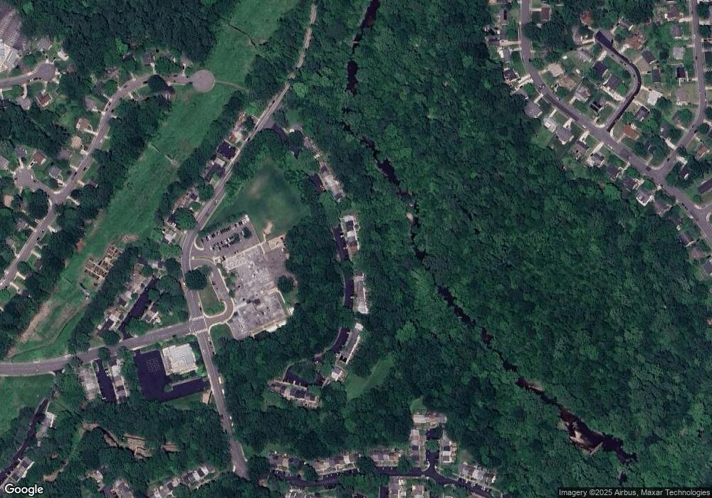
5246 Lonsdale Dr Springfield, VA 22151
Estimated Value: $599,515 - $648,000
3
Beds
4
Baths
1,760
Sq Ft
$349/Sq Ft
Est. Value
About This Home
This home is located at 5246 Lonsdale Dr, Springfield, VA 22151 and is currently estimated at $614,879, approximately $349 per square foot. 5246 Lonsdale Dr is a home located in Fairfax County with nearby schools including Kings Park Elementary School, Kings Glen Elementary School, and Lake Braddock Secondary School.
Ownership History
Date
Name
Owned For
Owner Type
Purchase Details
Closed on
May 29, 2025
Sold by
Smidinger Peter
Bought by
Peter Smidinger Trust and Smidinger
Current Estimated Value
Purchase Details
Closed on
Aug 29, 2016
Sold by
Denny Gary S
Bought by
Smidinger Peter
Purchase Details
Closed on
Sep 23, 2005
Sold by
Leporatti Robert A
Bought by
Denny Gary S
Home Financials for this Owner
Home Financials are based on the most recent Mortgage that was taken out on this home.
Original Mortgage
$245,000
Interest Rate
5.92%
Mortgage Type
New Conventional
Purchase Details
Closed on
Apr 29, 1994
Sold by
Mccall Bruce A
Bought by
Flewellyn Gregory C
Home Financials for this Owner
Home Financials are based on the most recent Mortgage that was taken out on this home.
Original Mortgage
$157,590
Interest Rate
7.7%
Create a Home Valuation Report for This Property
The Home Valuation Report is an in-depth analysis detailing your home's value as well as a comparison with similar homes in the area
Home Values in the Area
Average Home Value in this Area
Purchase History
| Date | Buyer | Sale Price | Title Company |
|---|---|---|---|
| Peter Smidinger Trust | -- | None Listed On Document | |
| Peter Smidinger Trust | -- | None Listed On Document | |
| Smidinger Peter | $399,000 | None Available | |
| Denny Gary S | $415,000 | -- | |
| Flewellyn Gregory C | $155,250 | -- |
Source: Public Records
Mortgage History
| Date | Status | Borrower | Loan Amount |
|---|---|---|---|
| Previous Owner | Denny Gary S | $245,000 | |
| Previous Owner | Flewellyn Gregory C | $157,590 |
Source: Public Records
Tax History Compared to Growth
Tax History
| Year | Tax Paid | Tax Assessment Tax Assessment Total Assessment is a certain percentage of the fair market value that is determined by local assessors to be the total taxable value of land and additions on the property. | Land | Improvement |
|---|---|---|---|---|
| 2025 | $6,194 | $582,560 | $190,000 | $392,560 |
| 2024 | $6,194 | $534,620 | $160,000 | $374,620 |
| 2023 | $5,875 | $520,610 | $160,000 | $360,610 |
| 2022 | $5,459 | $477,420 | $150,000 | $327,420 |
| 2021 | $4,989 | $425,100 | $125,000 | $300,100 |
| 2020 | $4,834 | $408,470 | $125,000 | $283,470 |
| 2019 | $4,775 | $403,470 | $120,000 | $283,470 |
| 2018 | $4,457 | $387,570 | $115,000 | $272,570 |
| 2017 | $4,500 | $387,570 | $115,000 | $272,570 |
| 2016 | $4,416 | $381,180 | $115,000 | $266,180 |
| 2015 | $4,254 | $381,180 | $115,000 | $266,180 |
| 2014 | $3,911 | $351,190 | $110,000 | $241,190 |
Source: Public Records
Map
Nearby Homes
- 8449 Thames St
- 5211 Inverchapel Rd
- 8601 Kenilworth Dr
- 8600 Victoria Rd
- 5772 Rexford Ct
- 5778 Rexford Ct Unit 5778B
- 8322 Highcliffe Ct
- 8519 Westover Ct Unit 763
- 8358D Dunham Ct Unit 622
- 8701 Cromwell Dr
- 5824 Rexford Dr Unit 731
- 5818 Torington Dr Unit 859
- 5909D Prince James Dr Unit D
- 5015 Stone Haven Dr
- 5912 Minutemen Rd Unit 295
- 5801 Boothe Dr
- 5927 Bayshire Rd Unit 115
- 5921 Minutemen Rd Unit 246
- 5512 Flag Run Dr
- 5638 Bellington Ave
- 5244 Lonsdale Dr
- 5248 Lonsdale Dr
- 5242 Lonsdale Dr
- 5250 Lonsdale Dr
- 5252 Lonsdale Dr
- 5240 Lonsdale Dr
- 5254 Lonsdale Dr
- 5256 Lonsdale Dr
- 5238 Lonsdale Dr
- 5236 Lonsdale Dr
- 5234 Lonsdale Dr
- 5232 Lonsdale Dr
- 5258 Lonsdale Dr
- 5230 Lonsdale Dr
- 5228 Lonsdale Dr
- 5260 Lonsdale Dr
- 5226 Lonsdale Dr
- 5262 Lonsdale Dr
- 5264 Lonsdale Dr
- 5224 Lonsdale Dr
